Forbidden Peak West Ridge
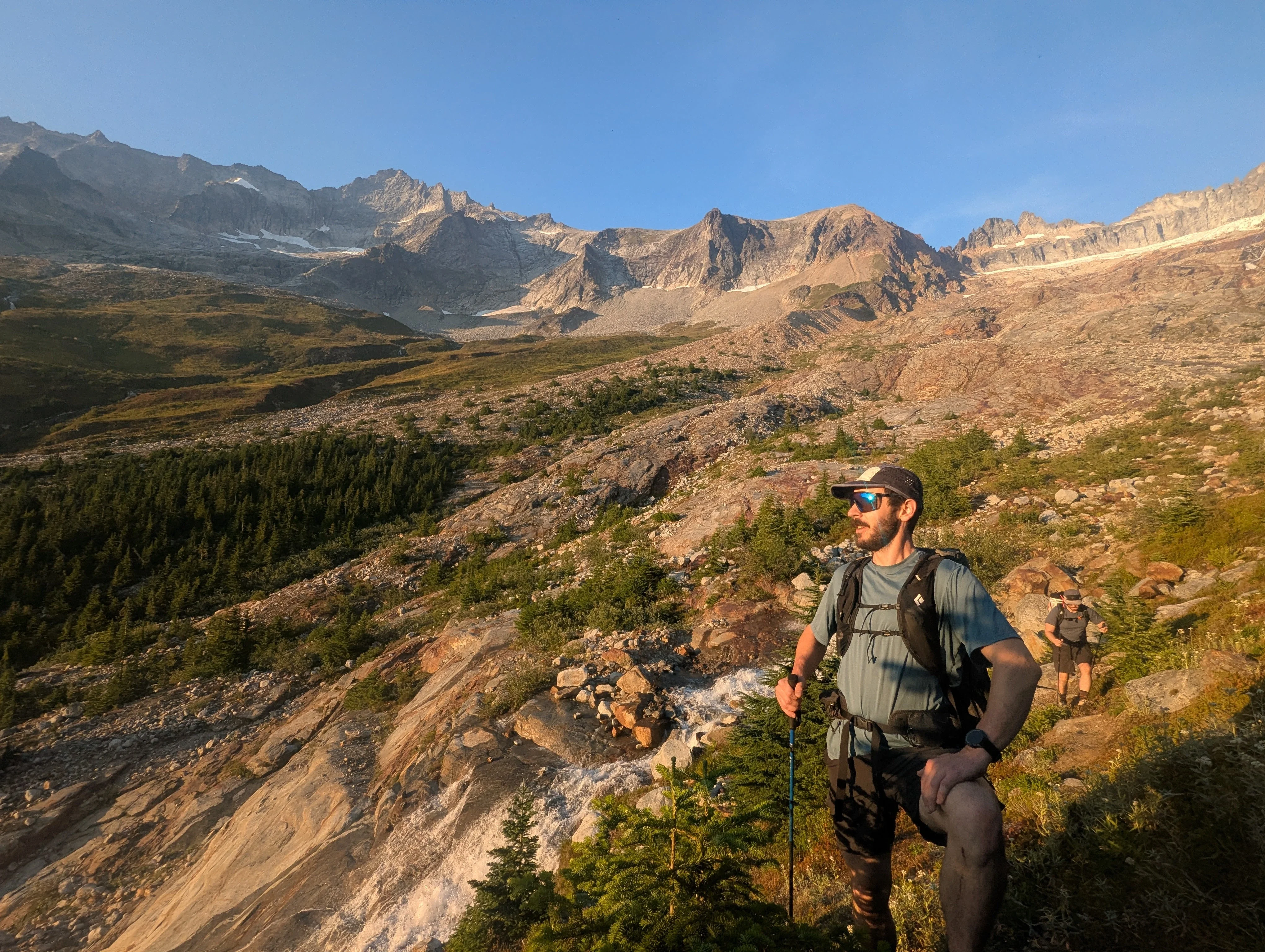
Matt, Sean, and I climbed the West Ridge of Forbidden Peak car to car on a beautiful day for Sean's big return post-knee-surgery. Boston Basin is as beautiful as ever, wildlife was out in full force, and ridge climbing is way too fun.
keep scrolling if you like blog style
Matt, Sean, and I climbed the West Ridge of Forbidden Peak car to car on a beautiful day for Sean’s big return post-knee-surgery. Boston Basin is as beautiful as ever, wildlife was out in full force, and ridge climbing is way too fun.
Forbidden Peak West Ridge
August 24, 2026Key Beta
- Car to car was really nice but I wouldn’t hate spending a night at the Boston Basin high camp
- There’s water everywhere. You don’t need to carry much for most of the approach. But I did bring a liter and a half on route from the last fill up before we crossed snow.
- This time of year we probably could have avoided snow completely. Definitely didn’t need axe and crampons.
- Simuling is the way to go
- We all just wore approach shoes and felt secure
- The Cat Scratch Gullies are indeed chossy. It was nice to simul the first part of them and then unrope for the top bit. Try to descend without anyone above you - lots of small rocks to kick loose.
- A single rack from .3 - 2 and some nuts with 10 alpines was a perfect rack for us
- Apparently, you should check for bridge closures before going down Cascade River Rd
The return of the Bonk Bois
Sean’s been out for big adventures, rebuilding knee #3. Turns out he’s been doing a great job at PT cuz it survived a proper day in the mountains.
Originally, it was Addison and Mel’s idea to climb Forbidden and Sean and I would join them. They’ve been eyeing it up for a while but sadly Mel had a bad crash on the mountain bike on Saturday. I look forward to their glorious summit photo someday.
Weather was bad on Saturday so we pivoted to a Monday ascent which is, honestly, my preference. Weekdays are clutch for classics. When Matt heard we could reunite the Bonk Bois, he finagled a day off work.
We opted for car to car. Hiking up the Boston Basin trail with a light pack is so much better than with an overnight pack.
Into Boston Basin
This was my third time up to Boston Basin in a relatively short time so I feel like I know the trail well. The start of the trail to when you pop out of the woods to the sweeping view of Boston Basin feels like it goes really quick on the way up and then drags on forever on the way down.
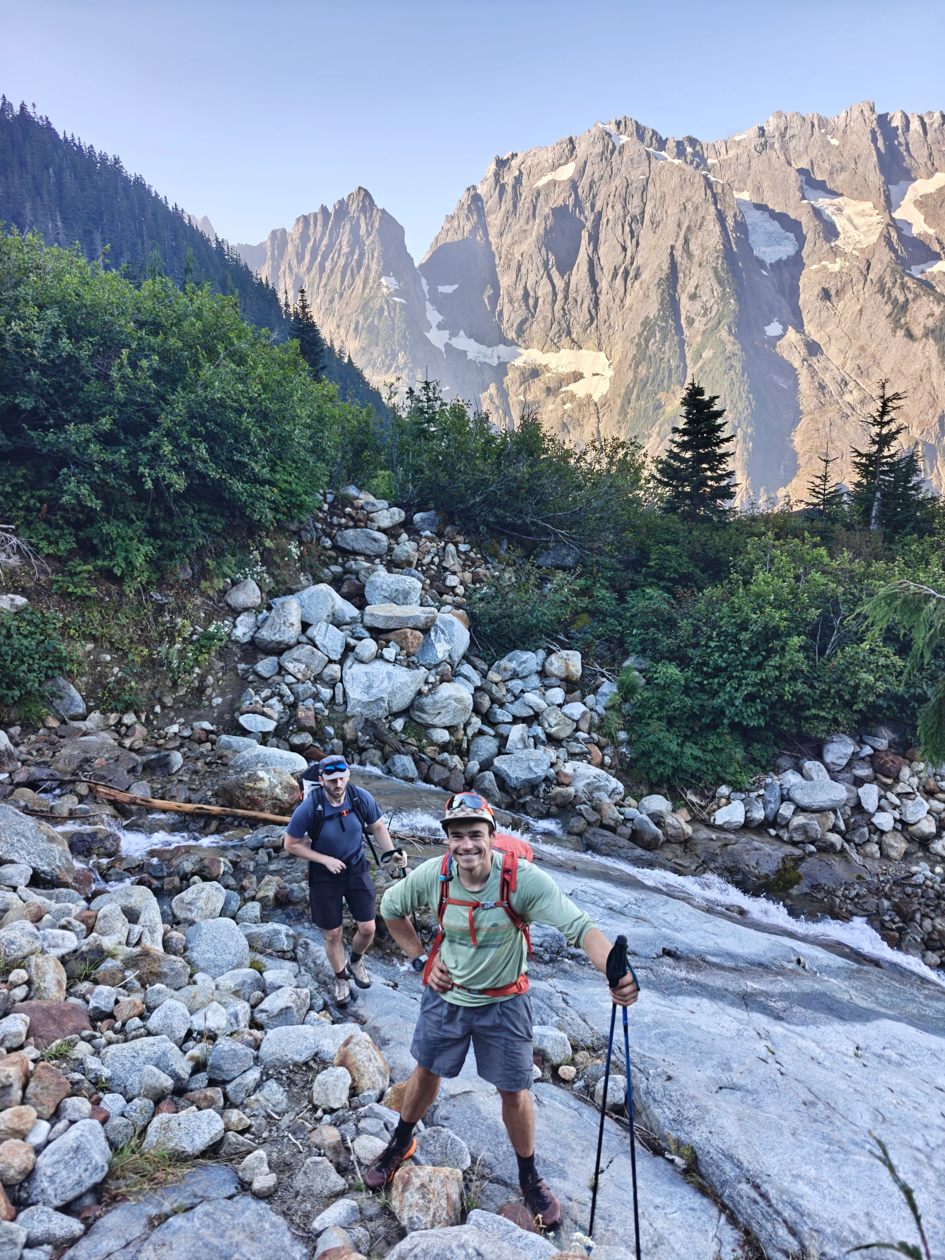
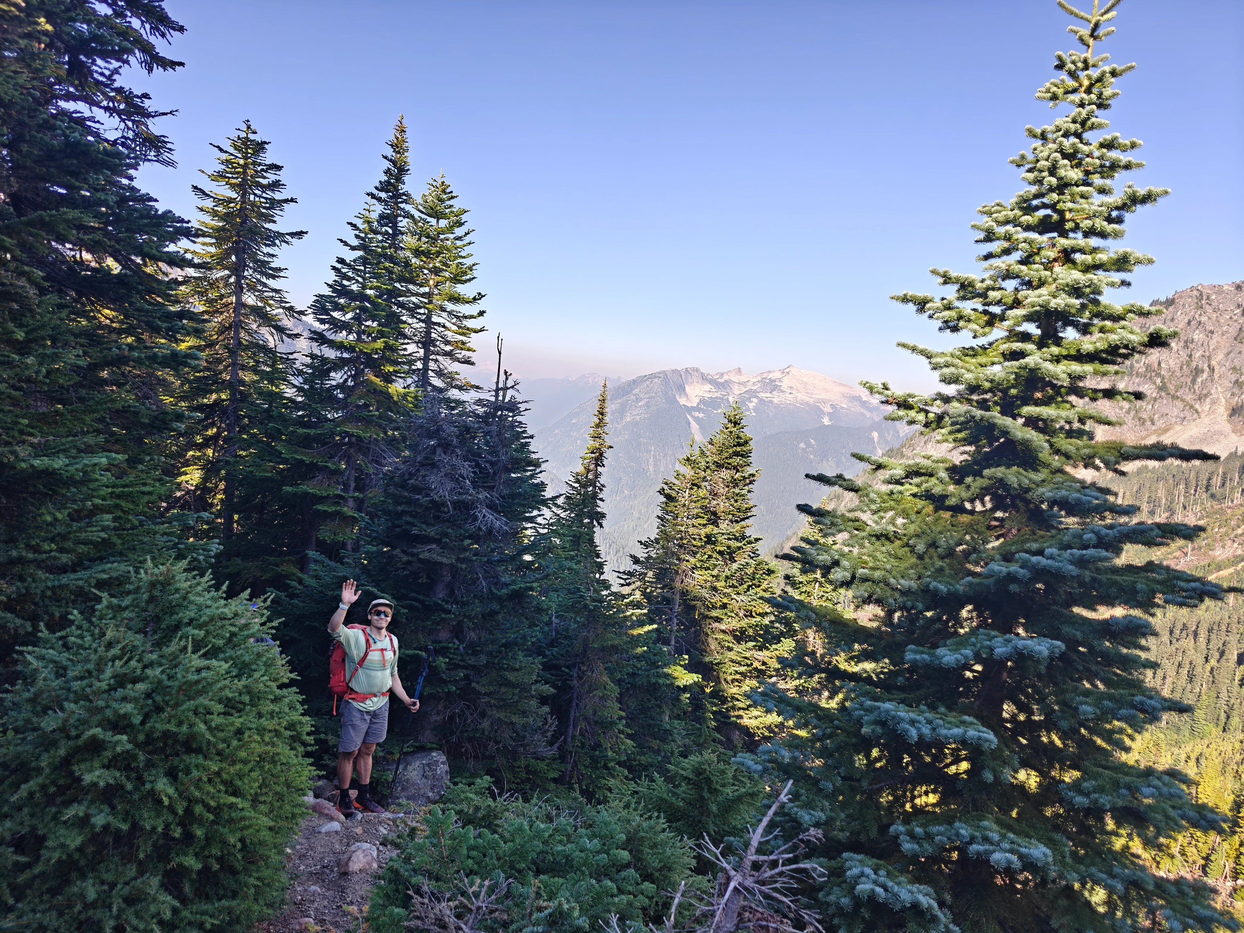
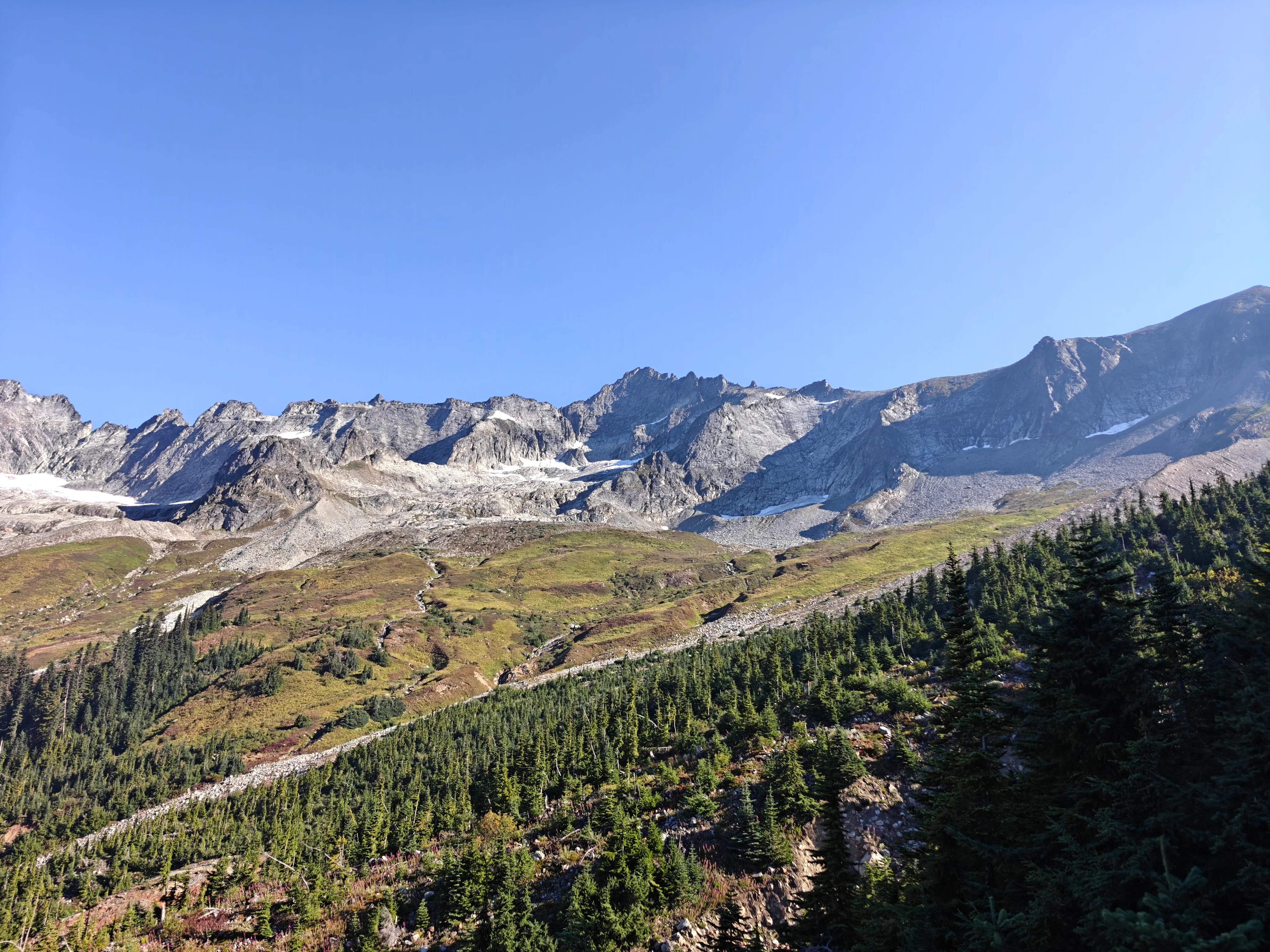
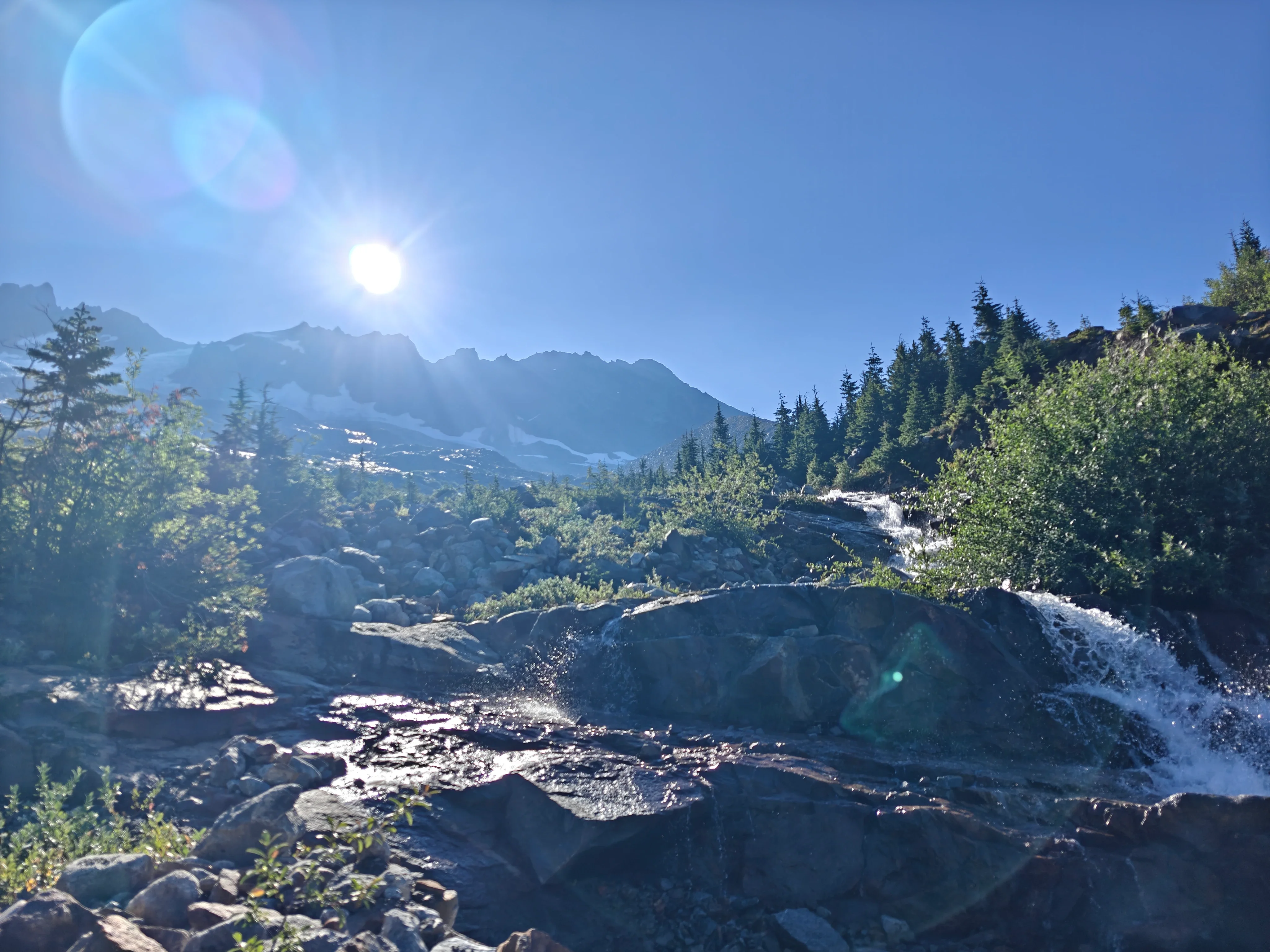
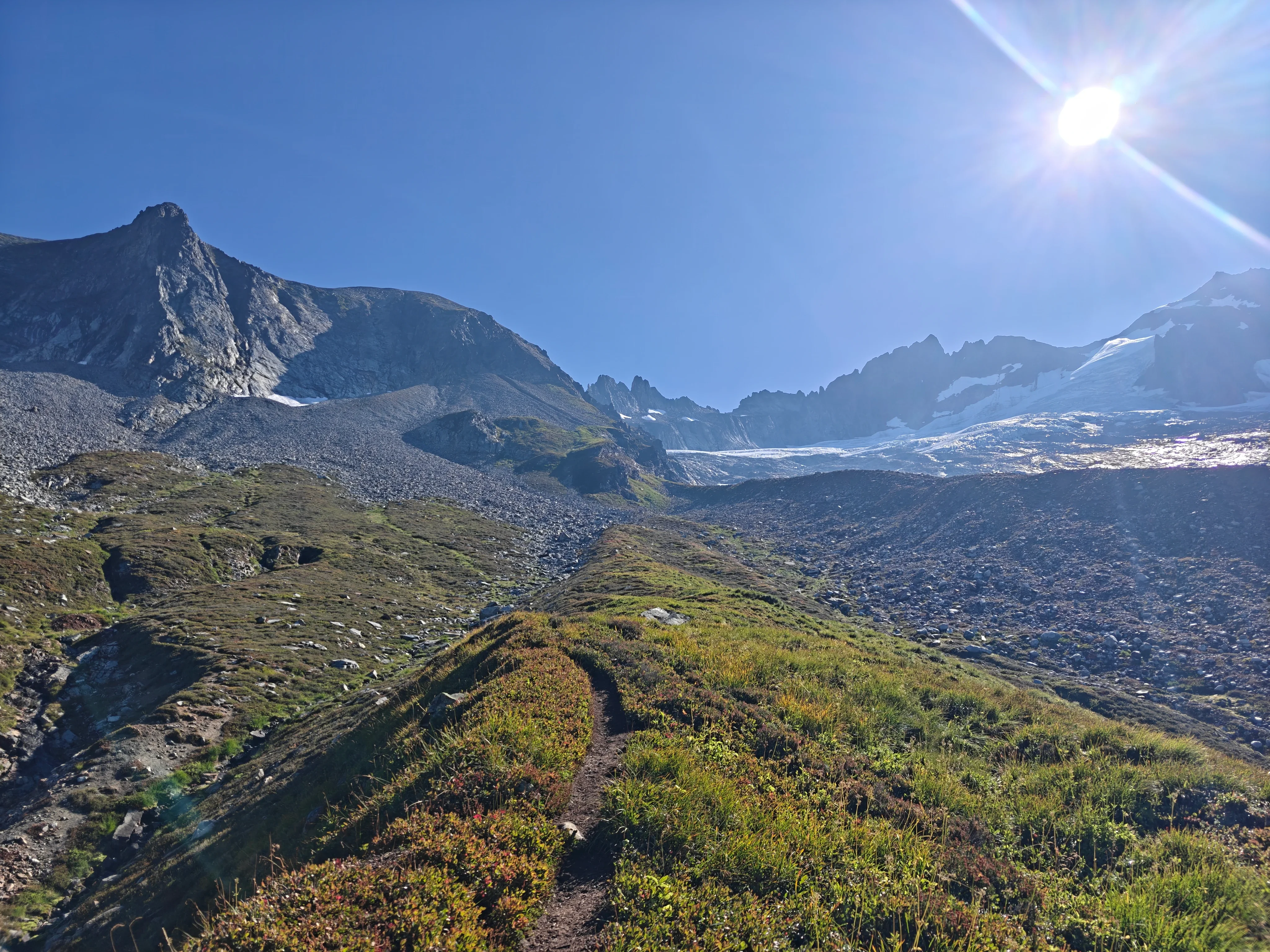
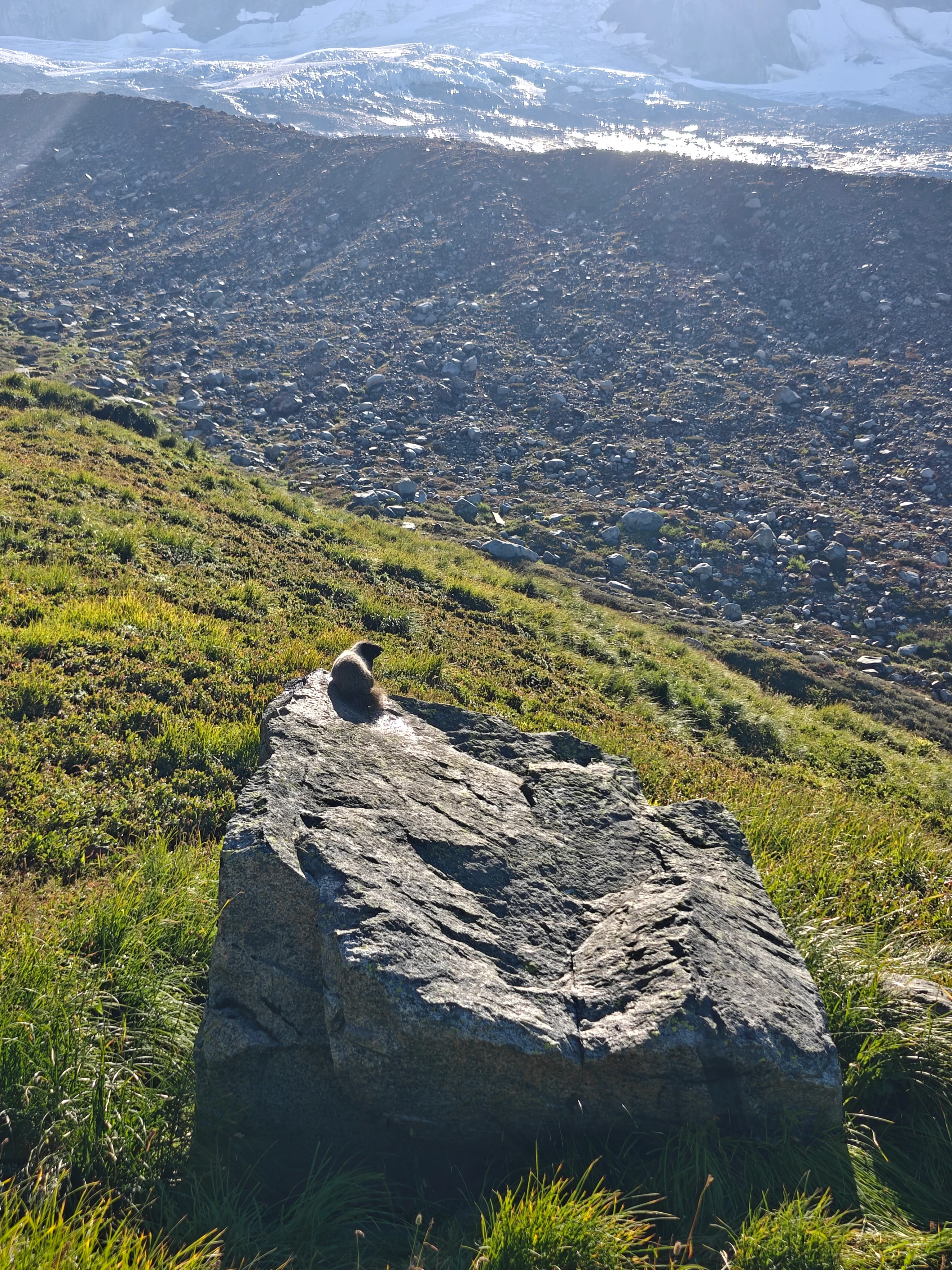
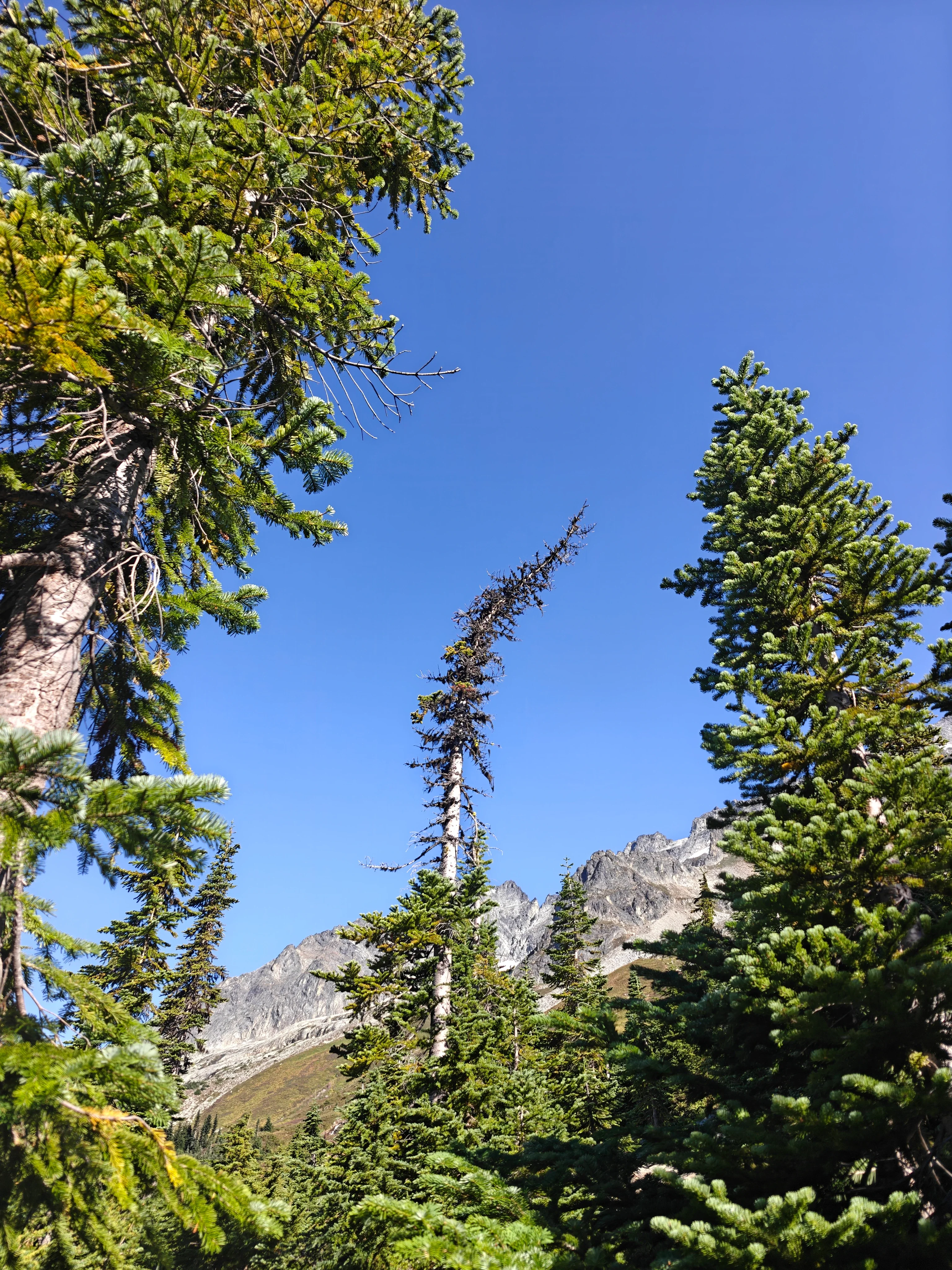
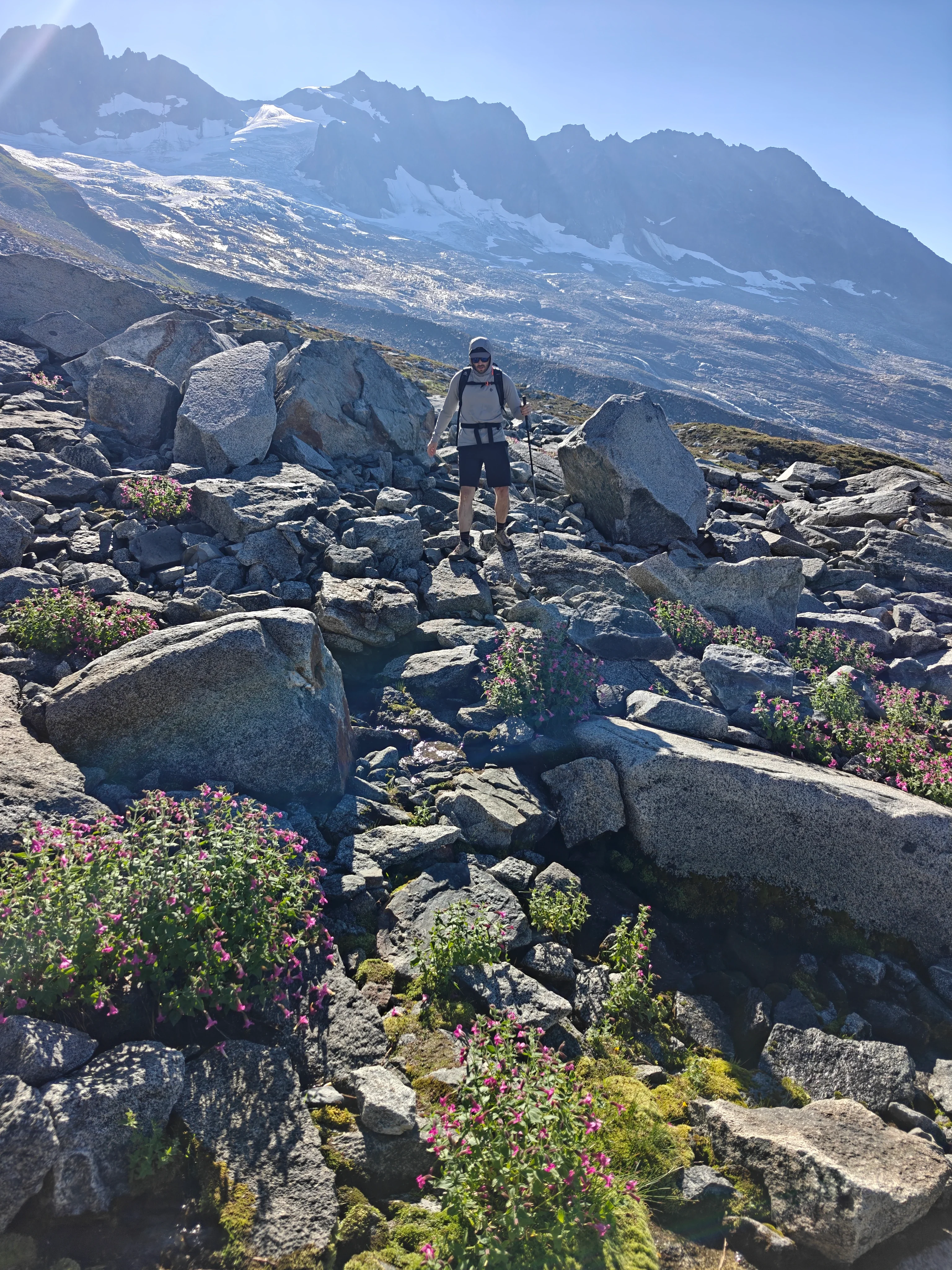
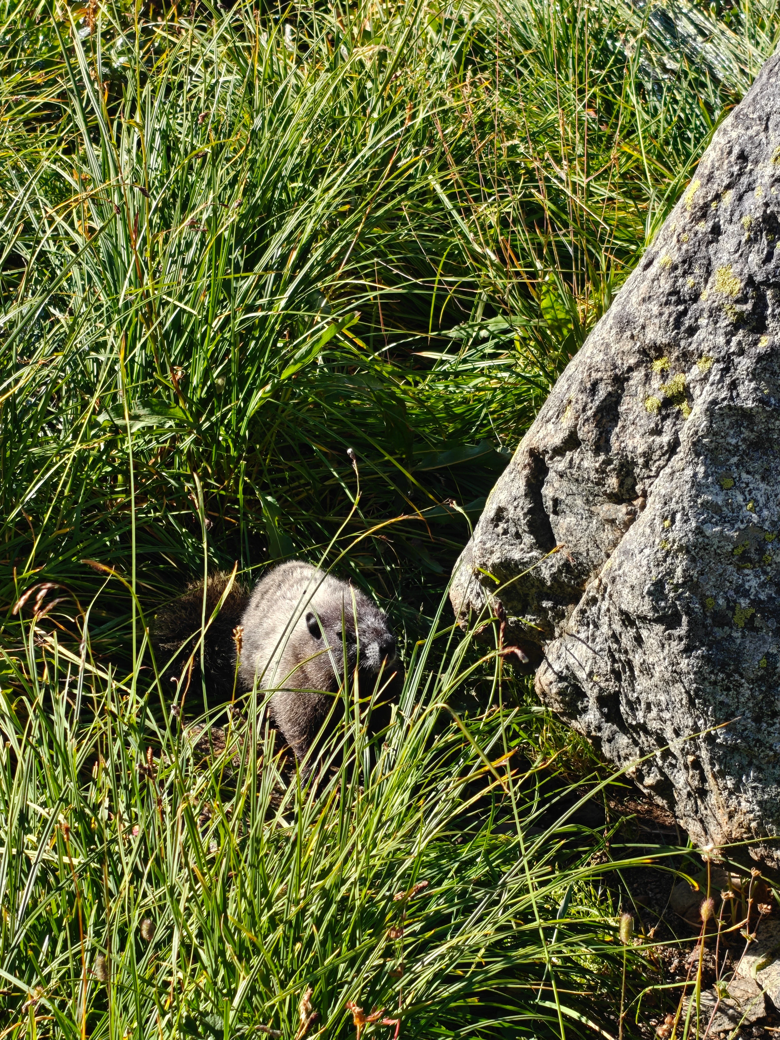
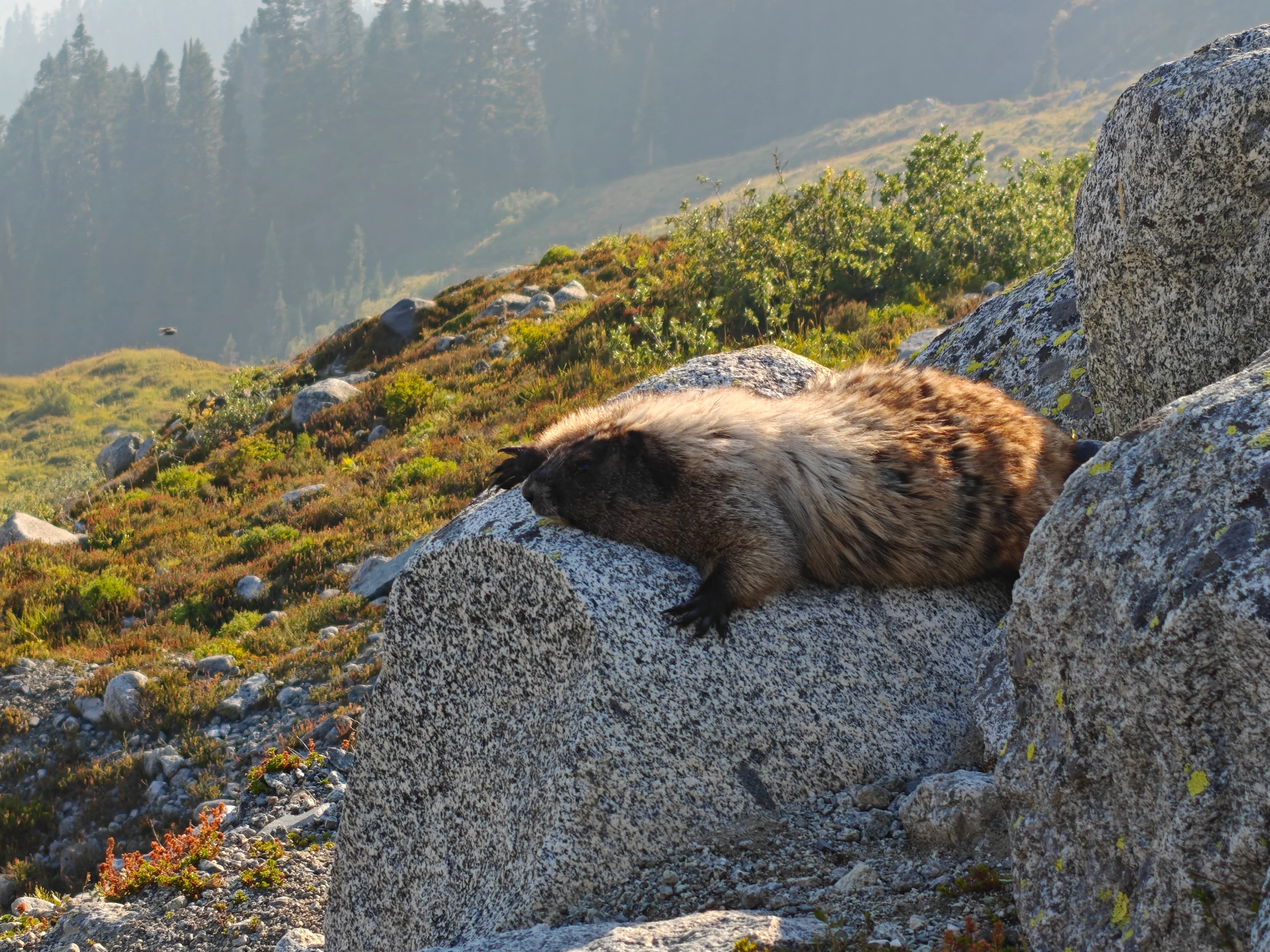
The approach up to Boston Basin high camp from where you pop out of the woods is pretty cruiser because you’re on a nice trail the whole way. I especially liked how it squiggles up a vegetated moraine. We saw some marmots, bendy trees, and just generally basked in the beautiful landscape. Wait - we did that last part all day.
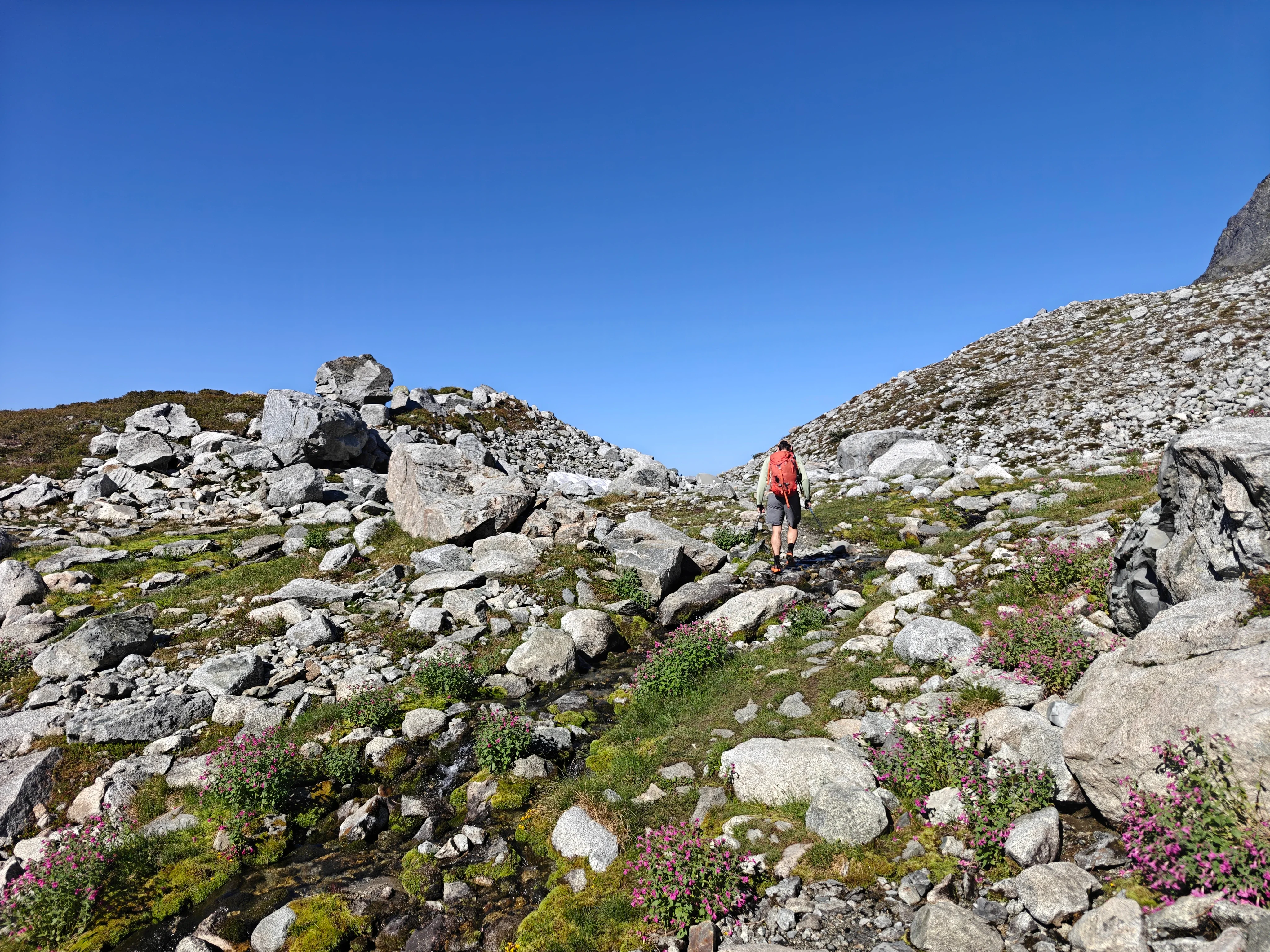
Approach to the Cat Scratch Gullies
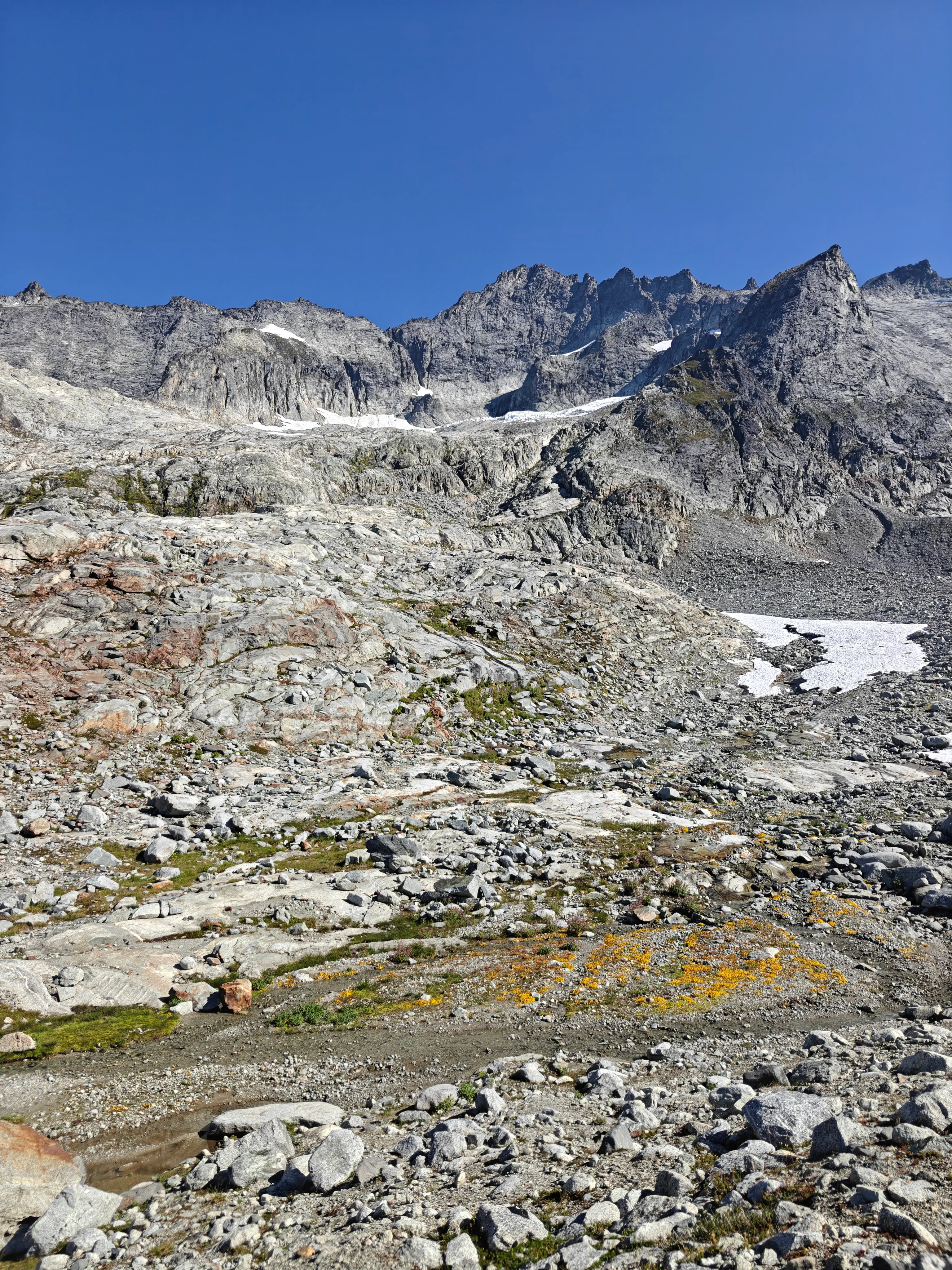
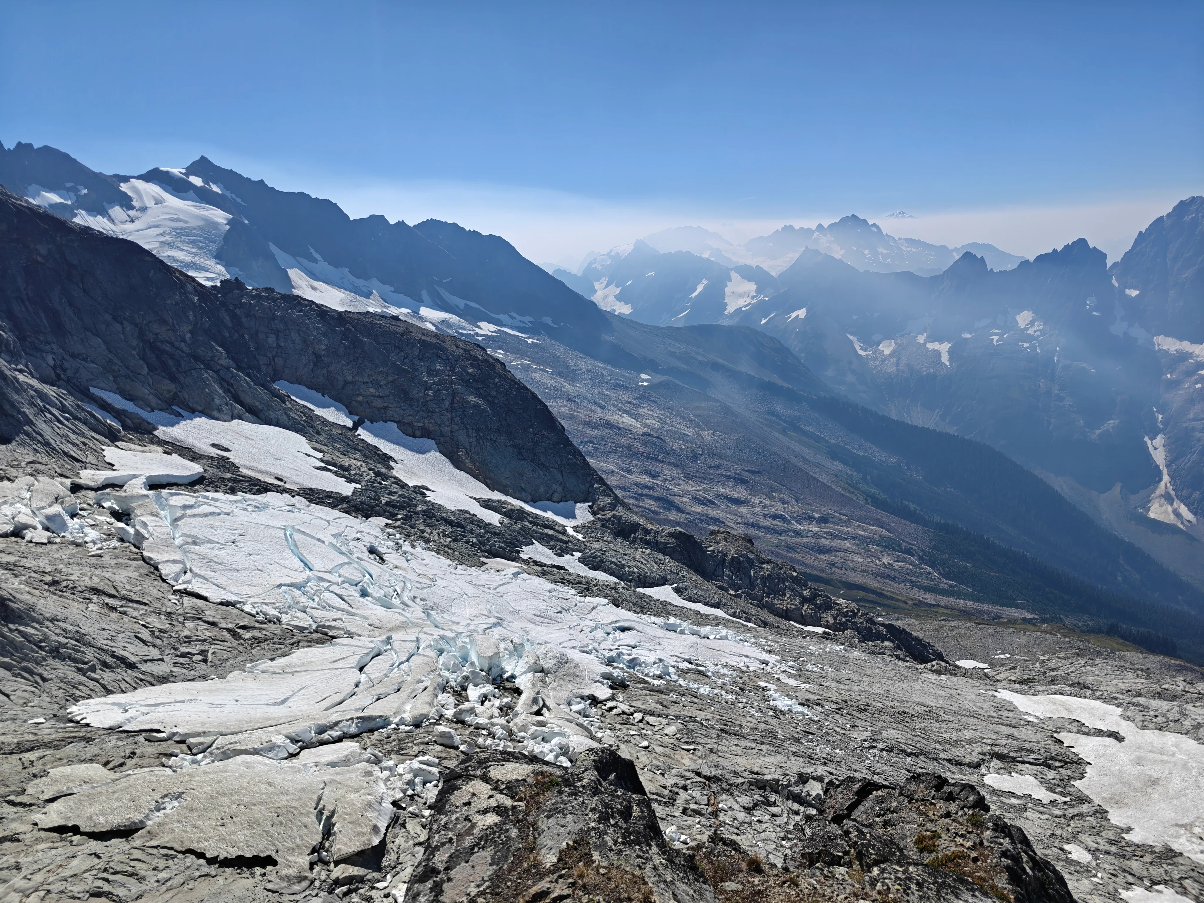
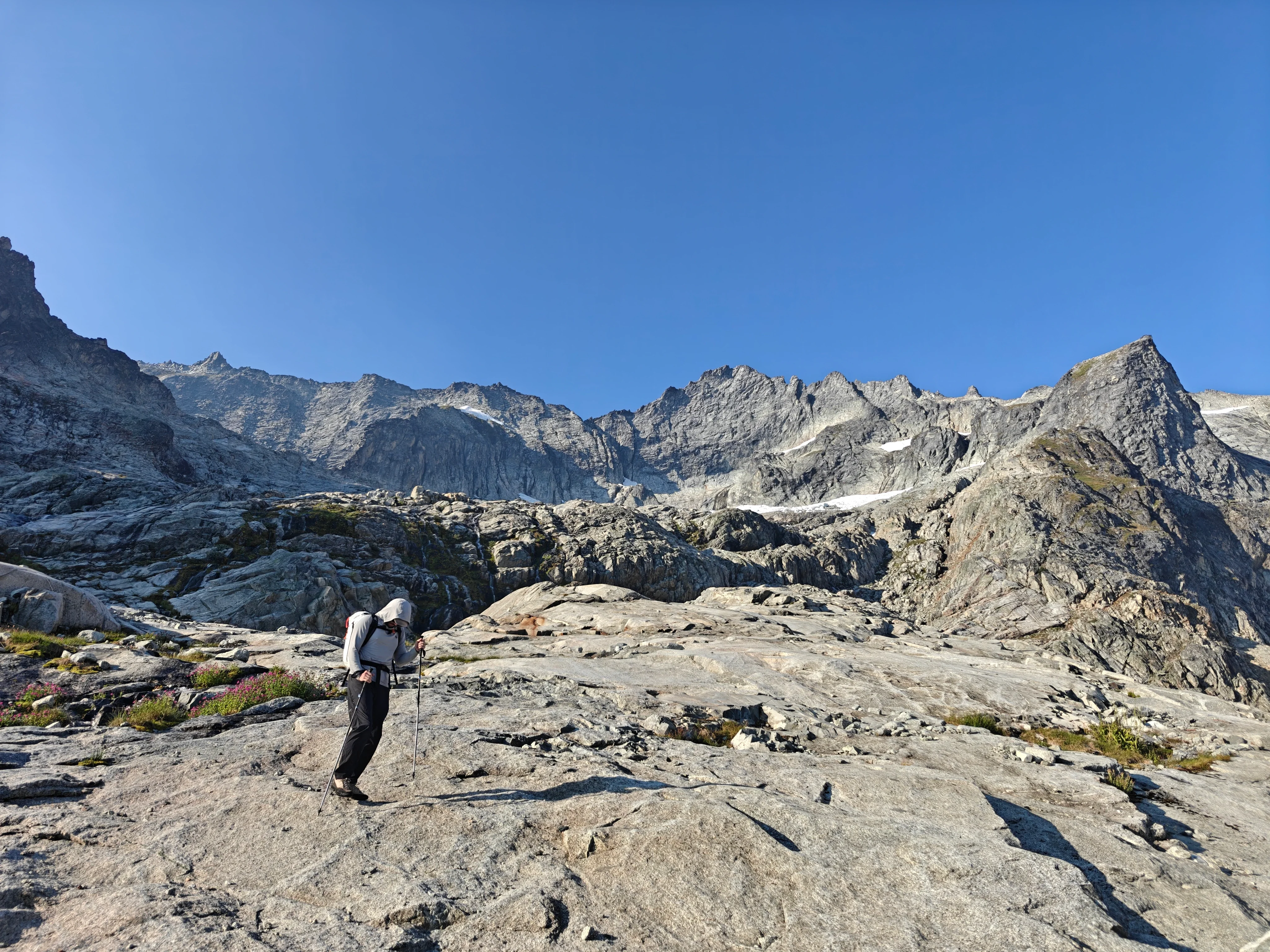
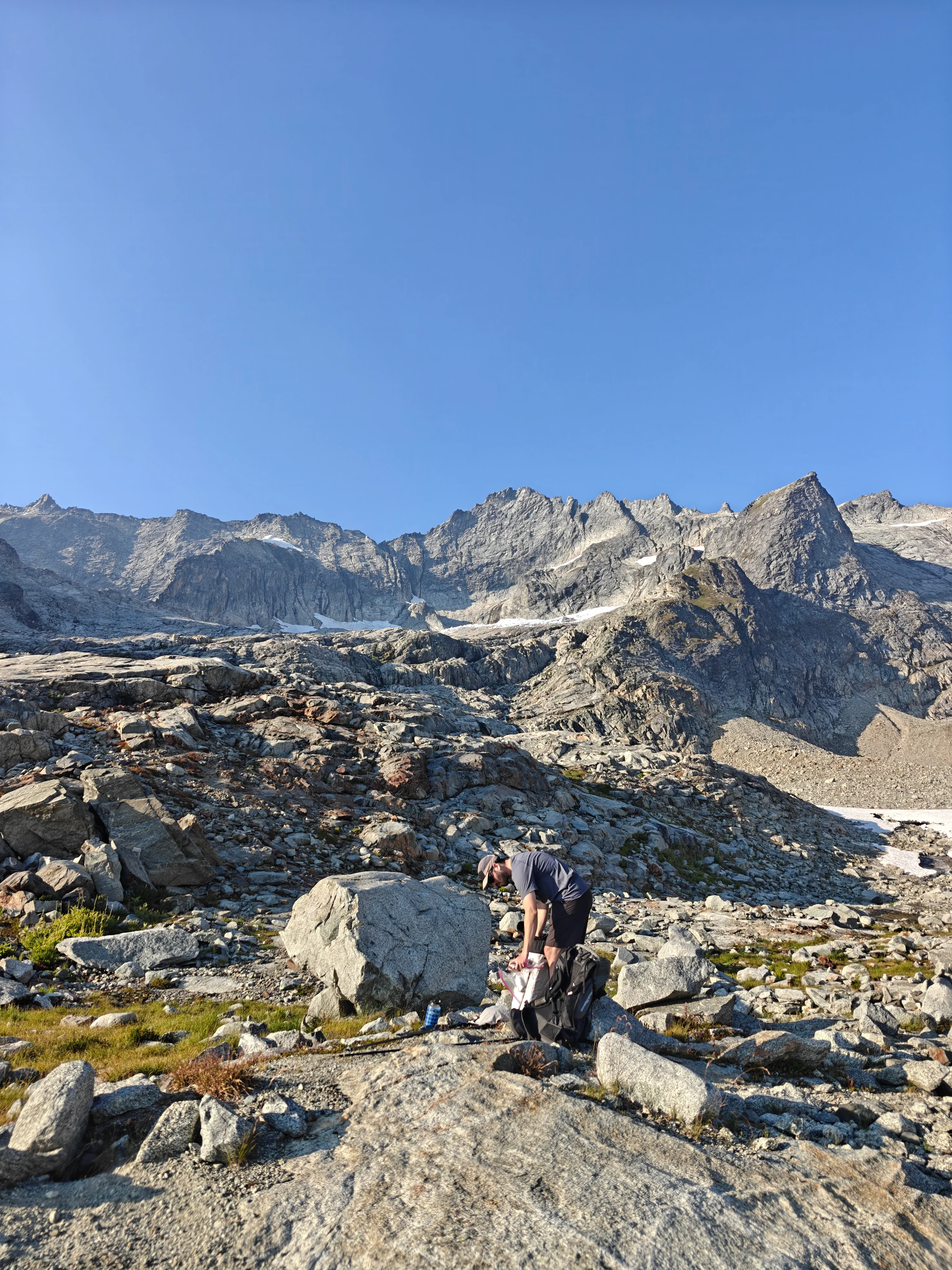
After high camp is a sea of slabs. Earlier in the summer, you’d end up spending a decent bit of time on snow but we really only had to cross a small patch of low angle snow. I love slabs like these. It’s such cool terrain to be in. The features the water has carved, darker colored dikes in the rock, streaks, mini ridges, and just fun little features to play on the whole way. And the scale is just cool.
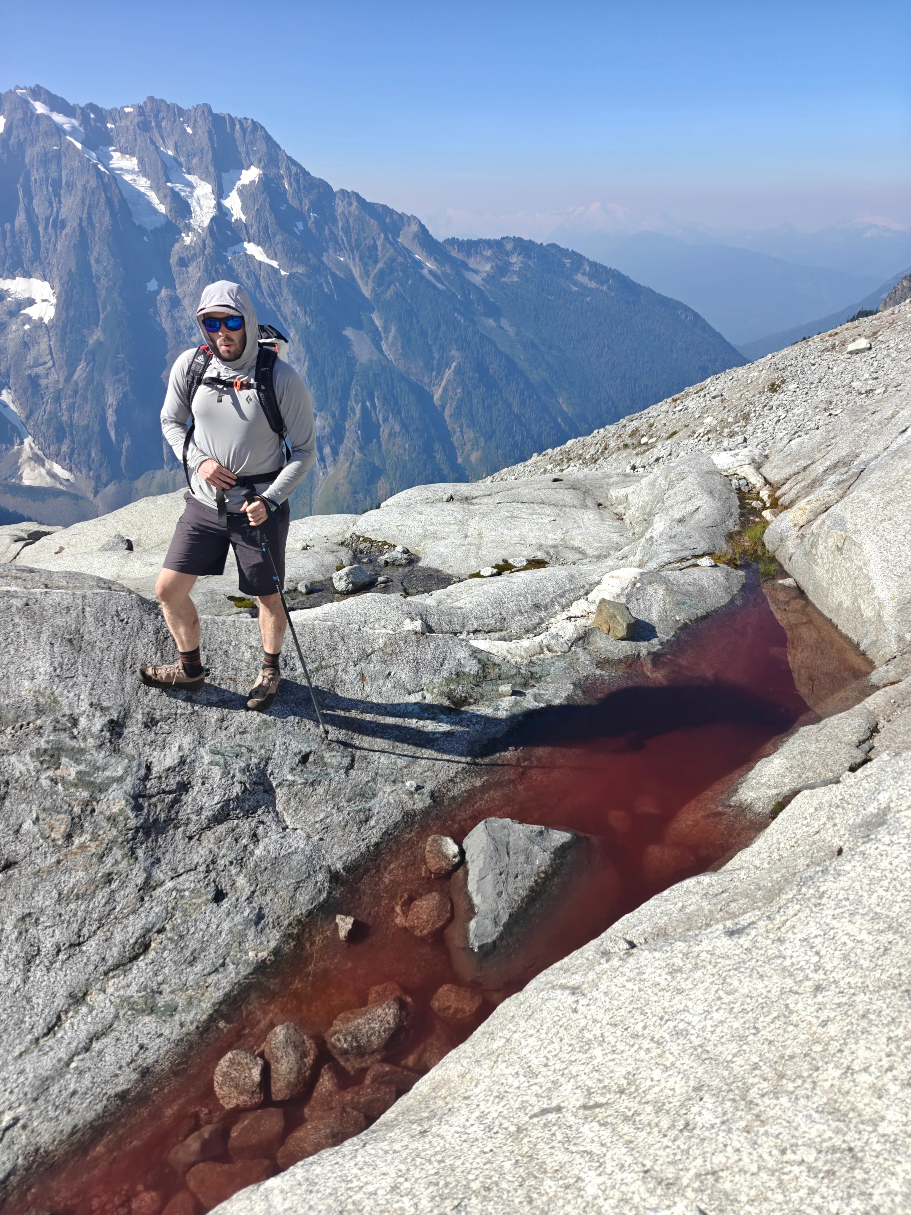
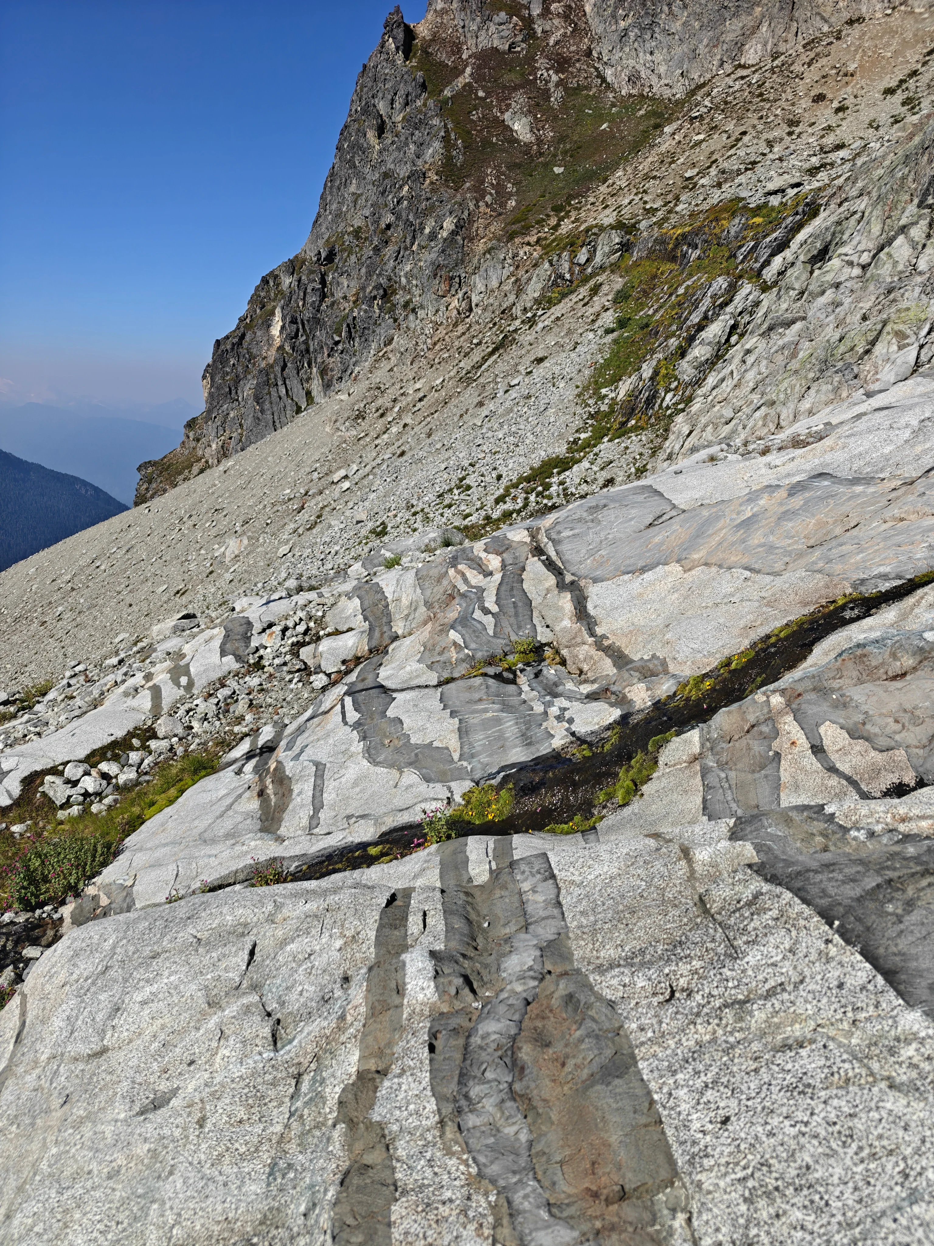
The fun terrain features to navigate through:
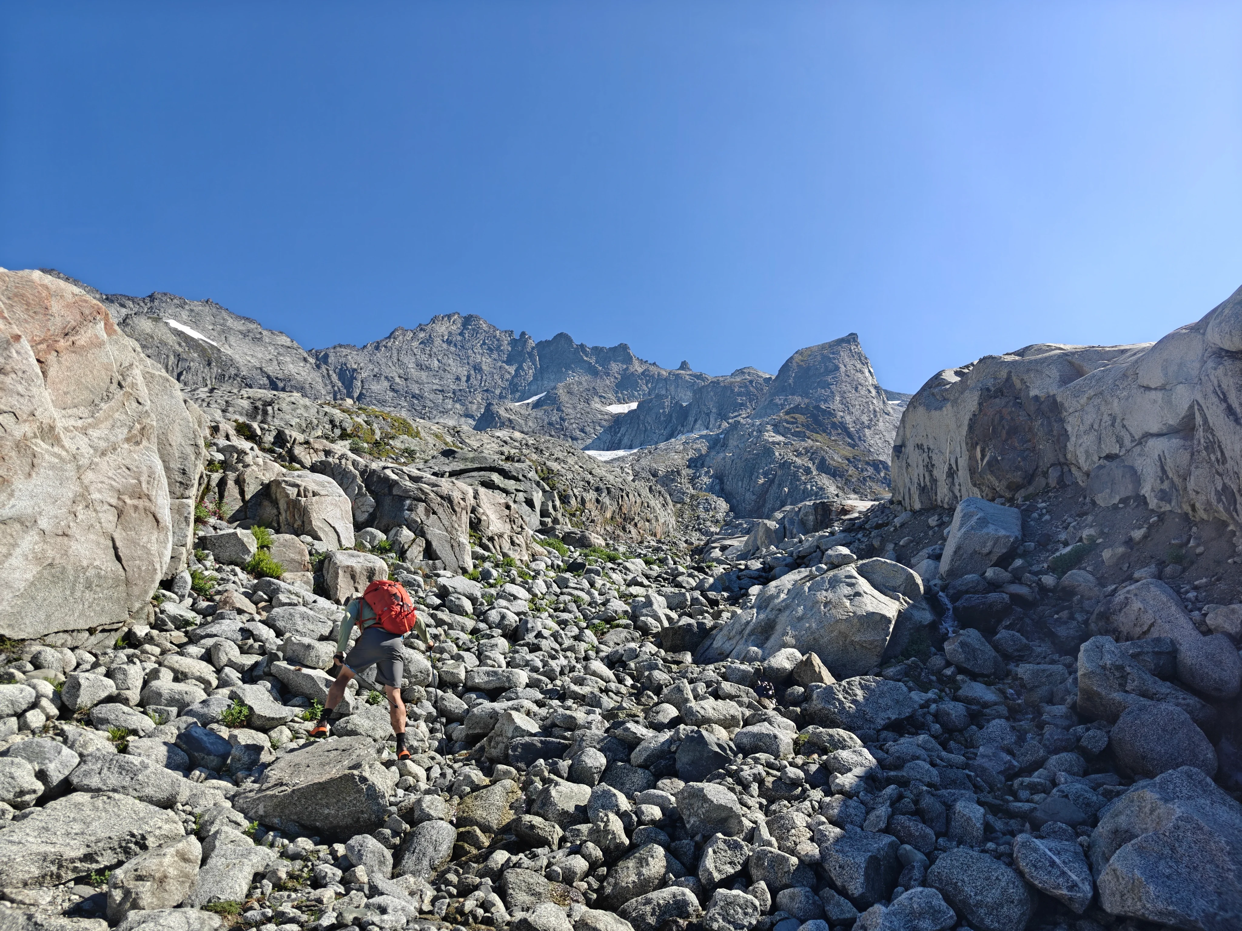
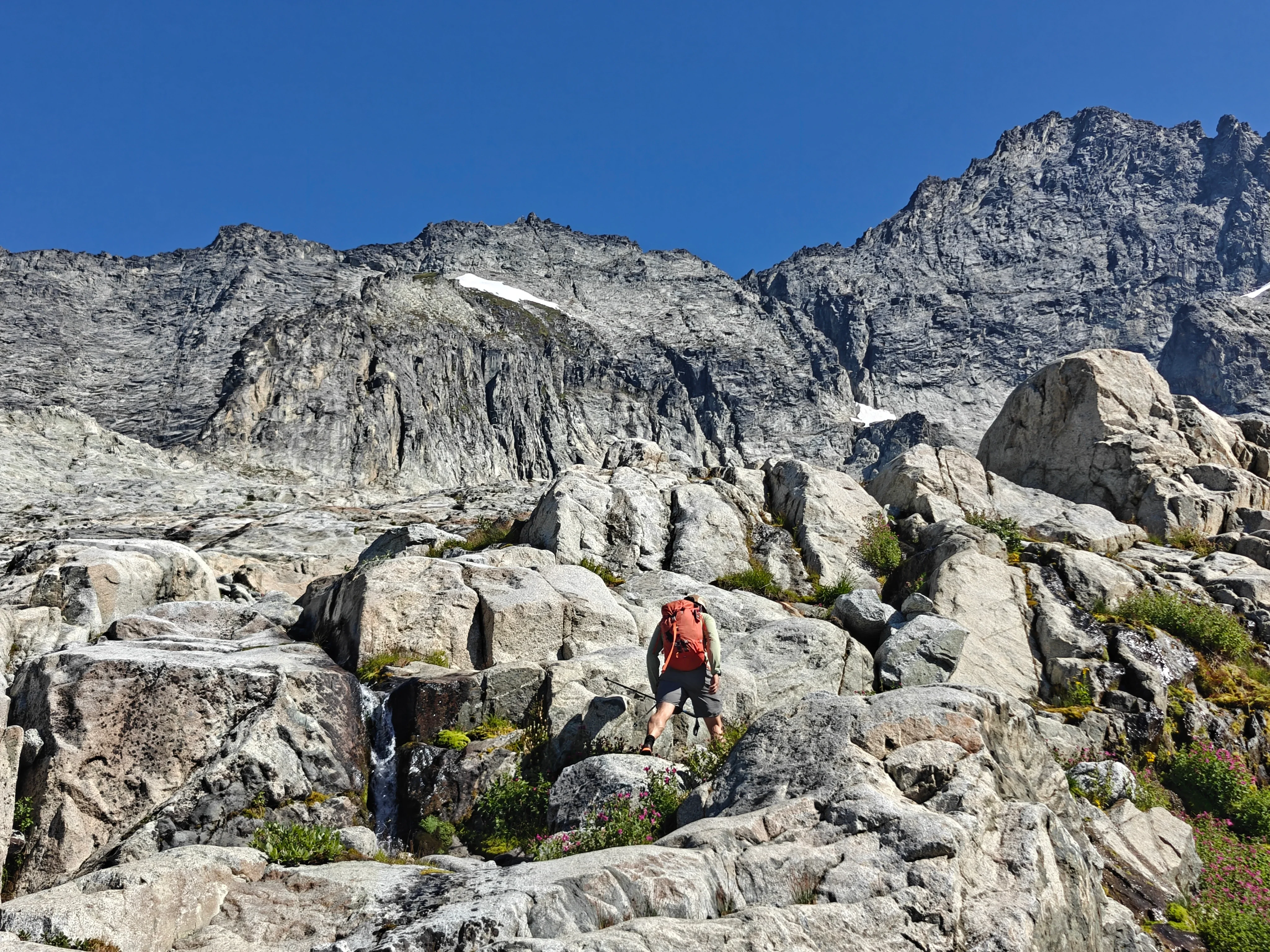
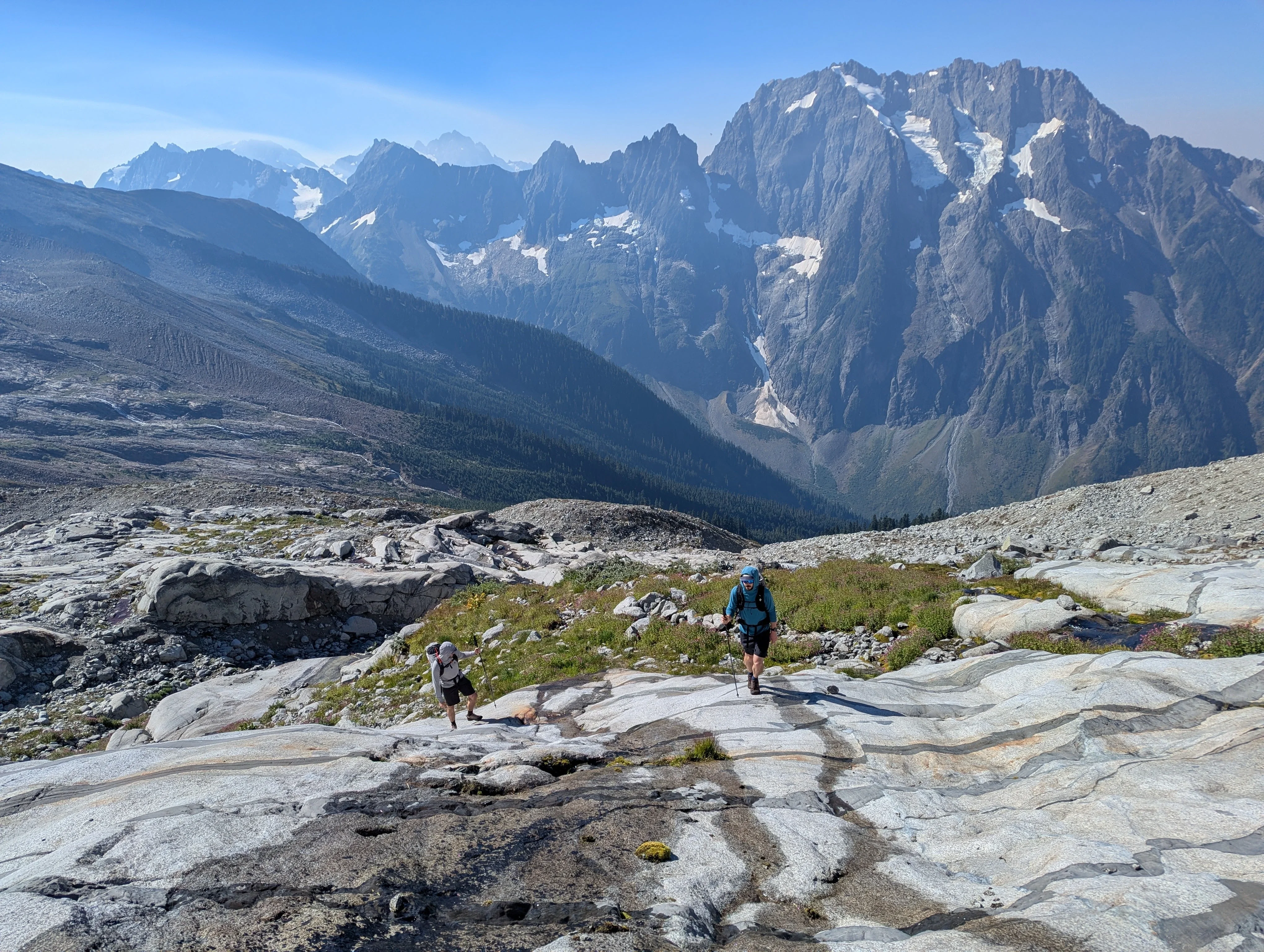
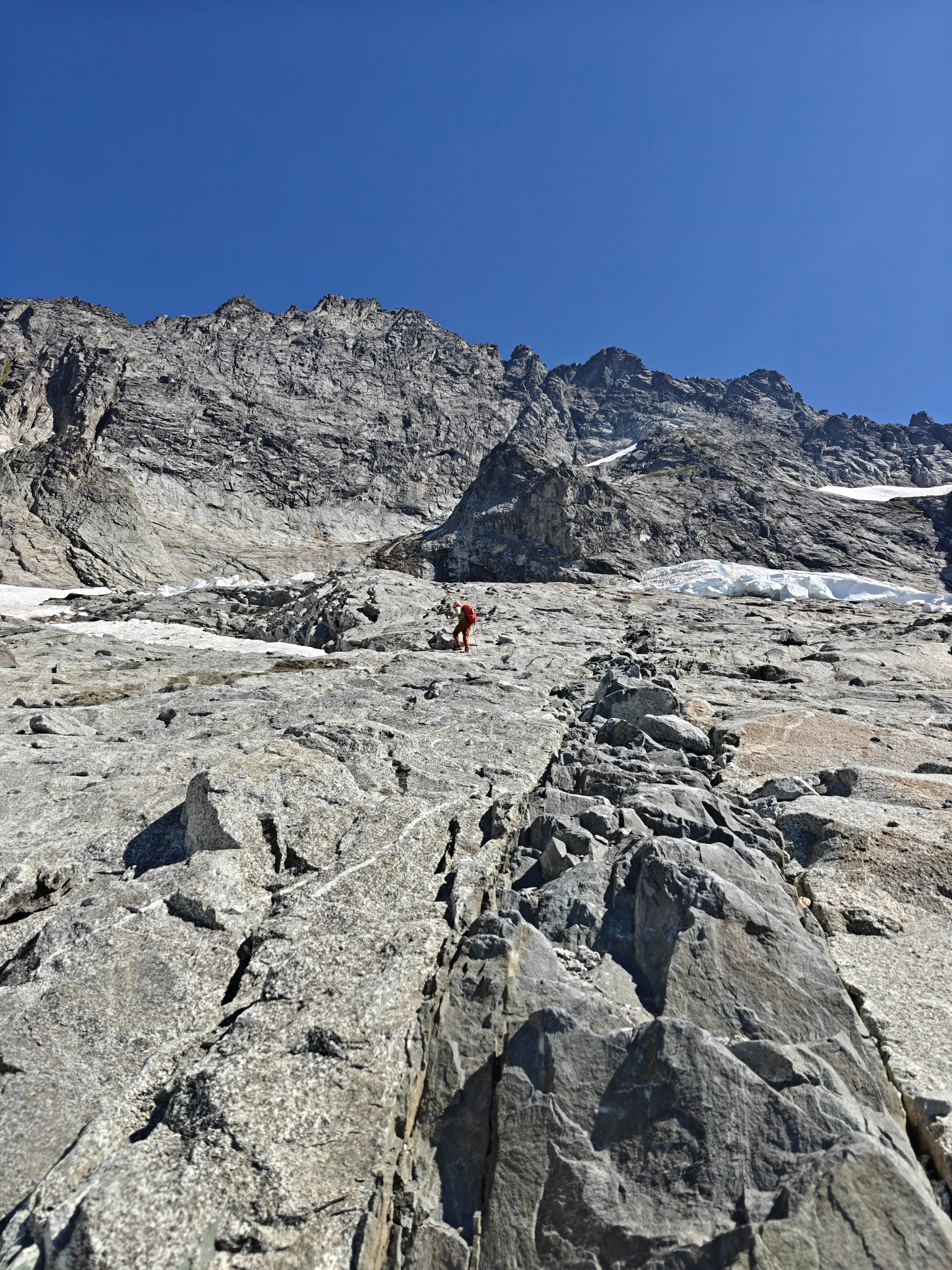
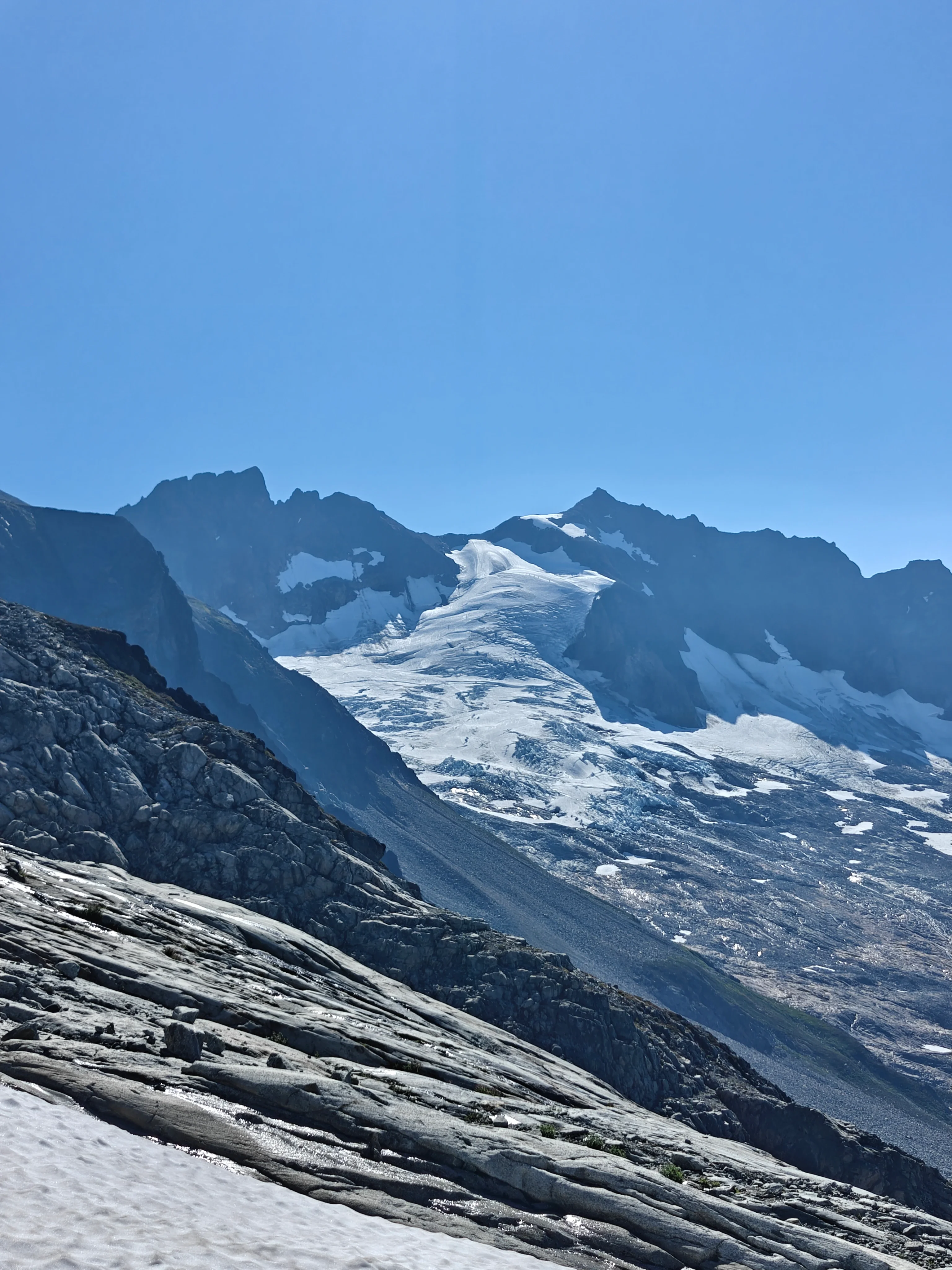
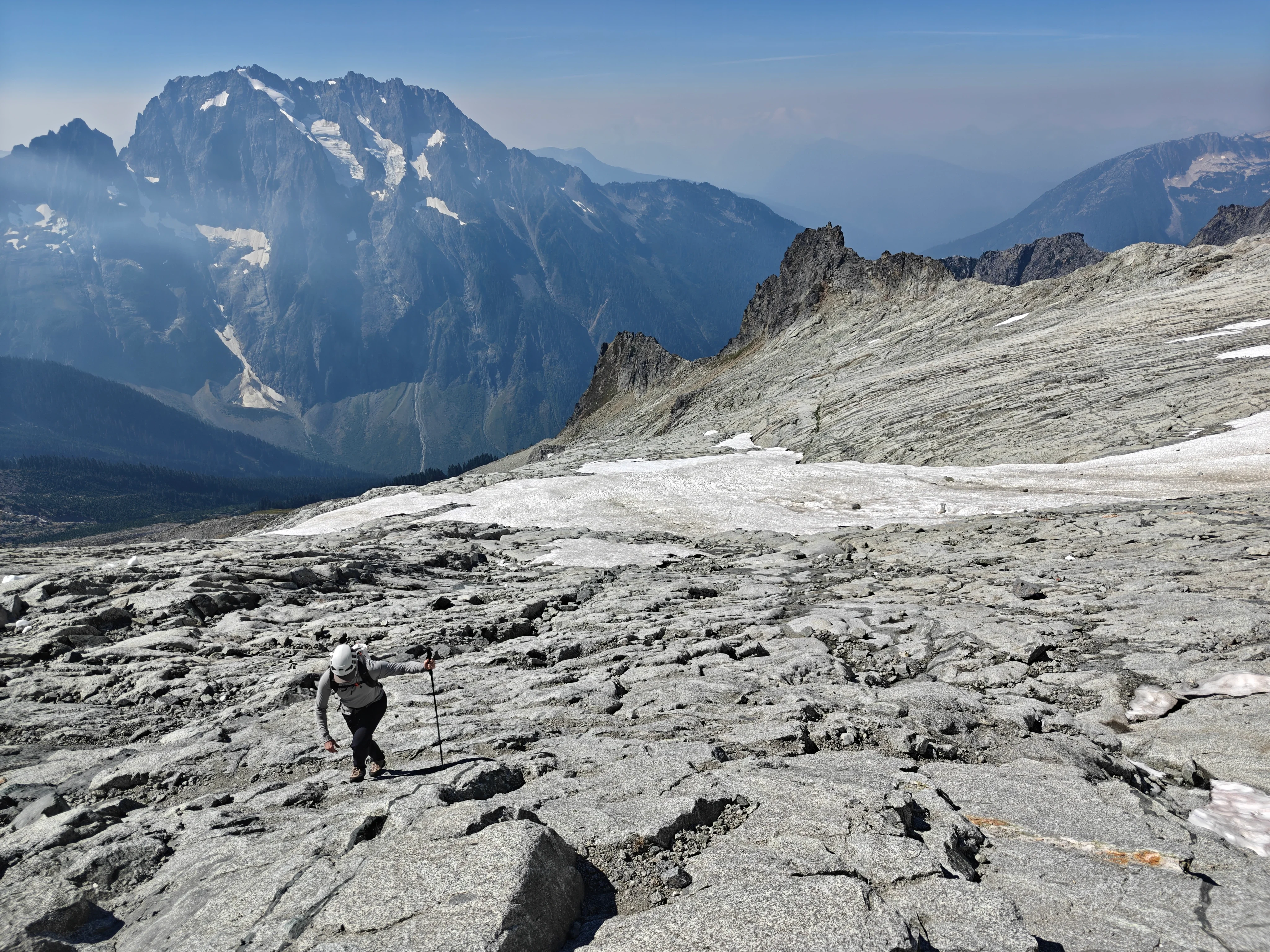
You can choose your own adventure up through the slabs but you’re shooting for the buttress below the snow gully.
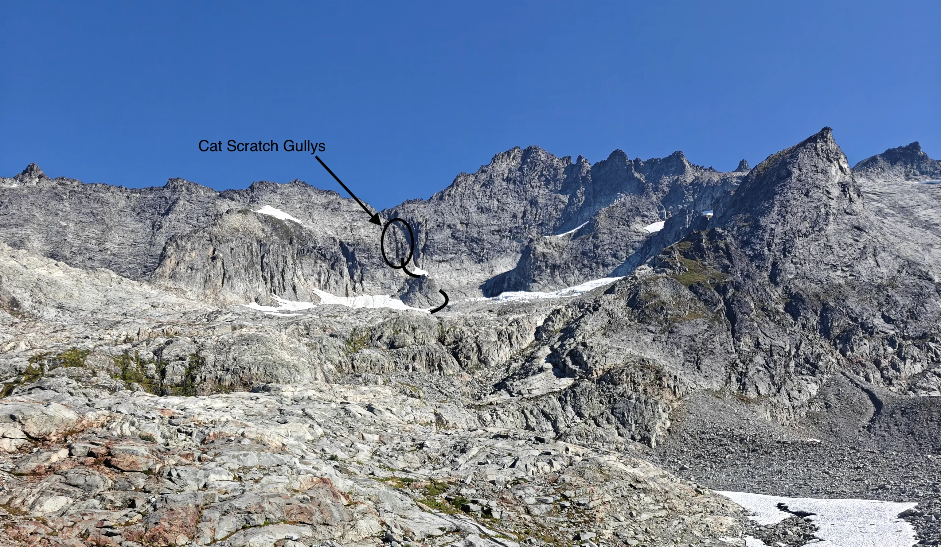
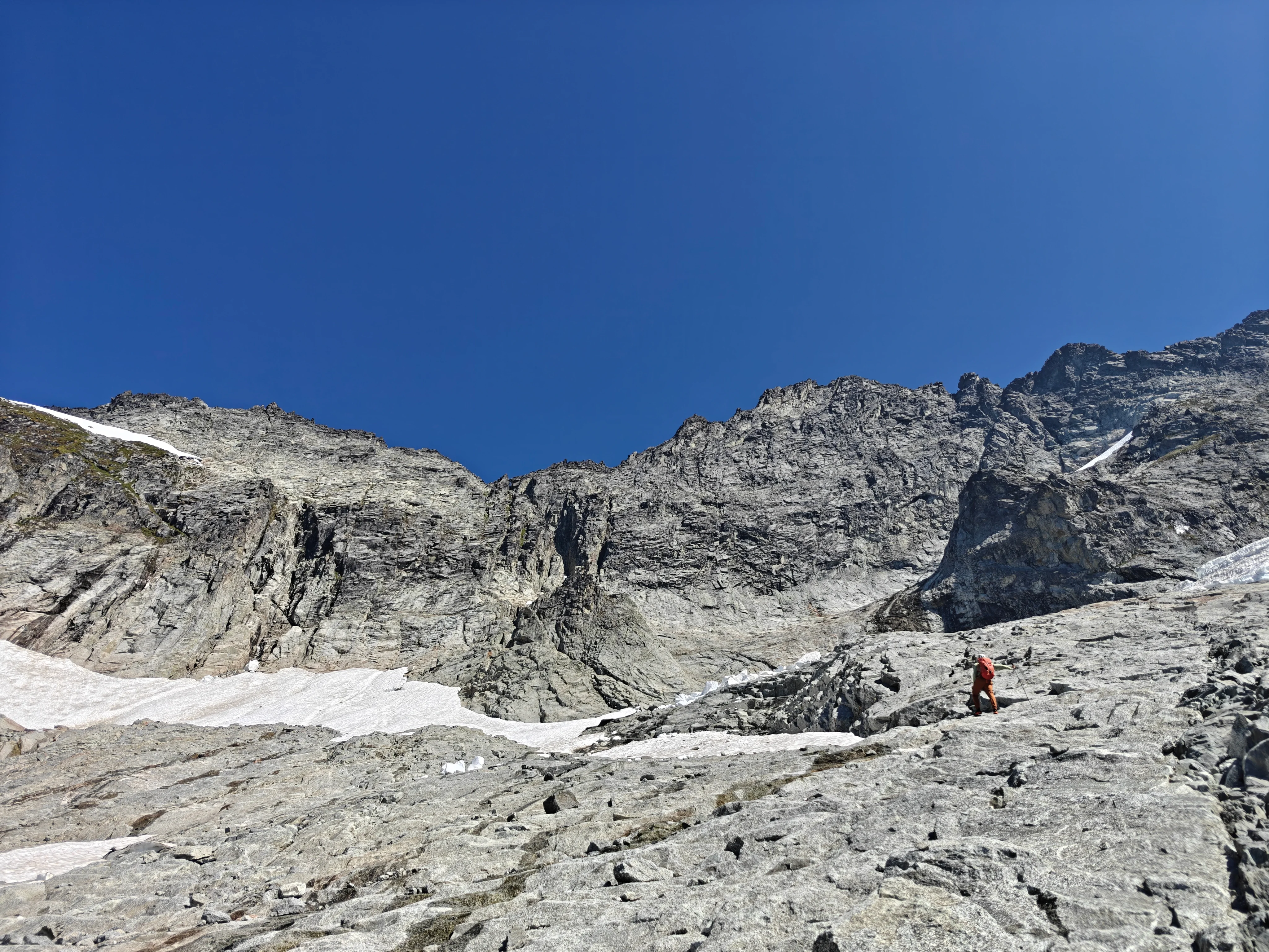
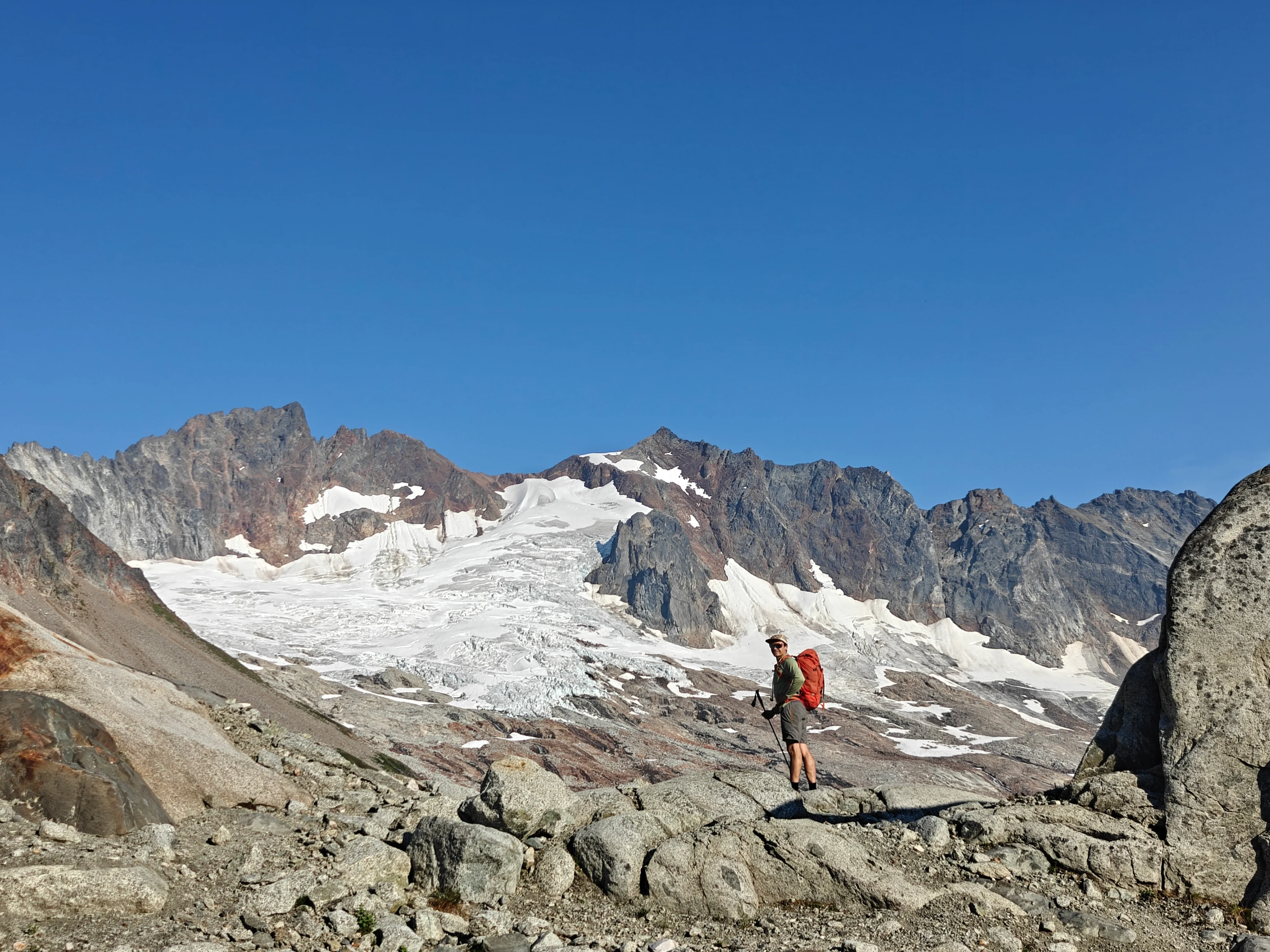
Don’t go too far right here though because the last remaining ice/snow chunks from that old glacier do release this time of year…
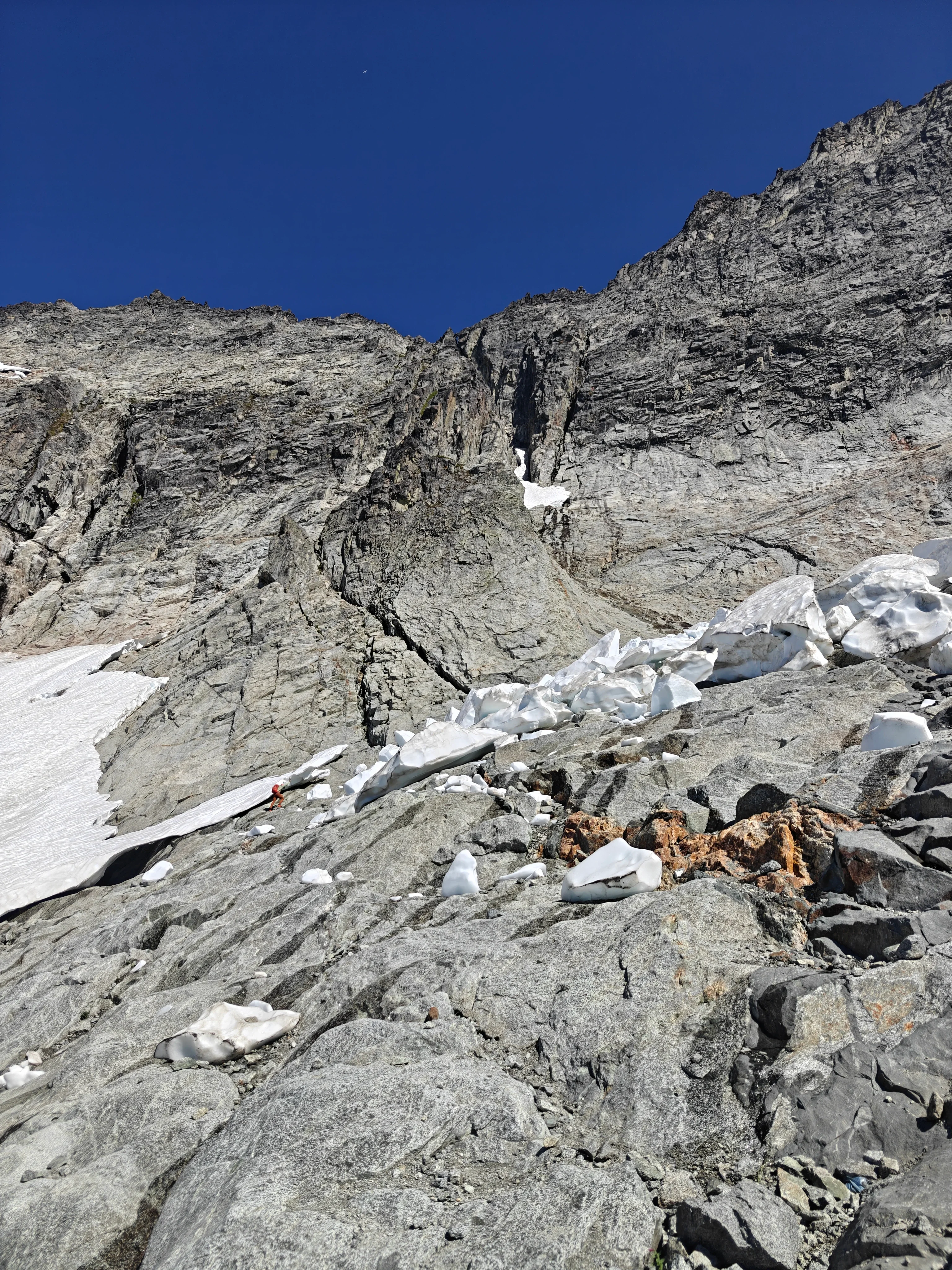
We moved around the looker’s right side of that buttress and got on top of it to get to the bottom of the Cat Scratch Gullies.
The Cat Scratch Gullies
Earlier in the year it sounds like it’s possible to ascend the snowy couloir to the right of the Cat Scratch Gullies. That sounds pretty nice because it’s def a little chossy/loose in these things.
It became apparent why they’re called Cat Scratch Gullies once we got closer - you’ve got a few to pick from.
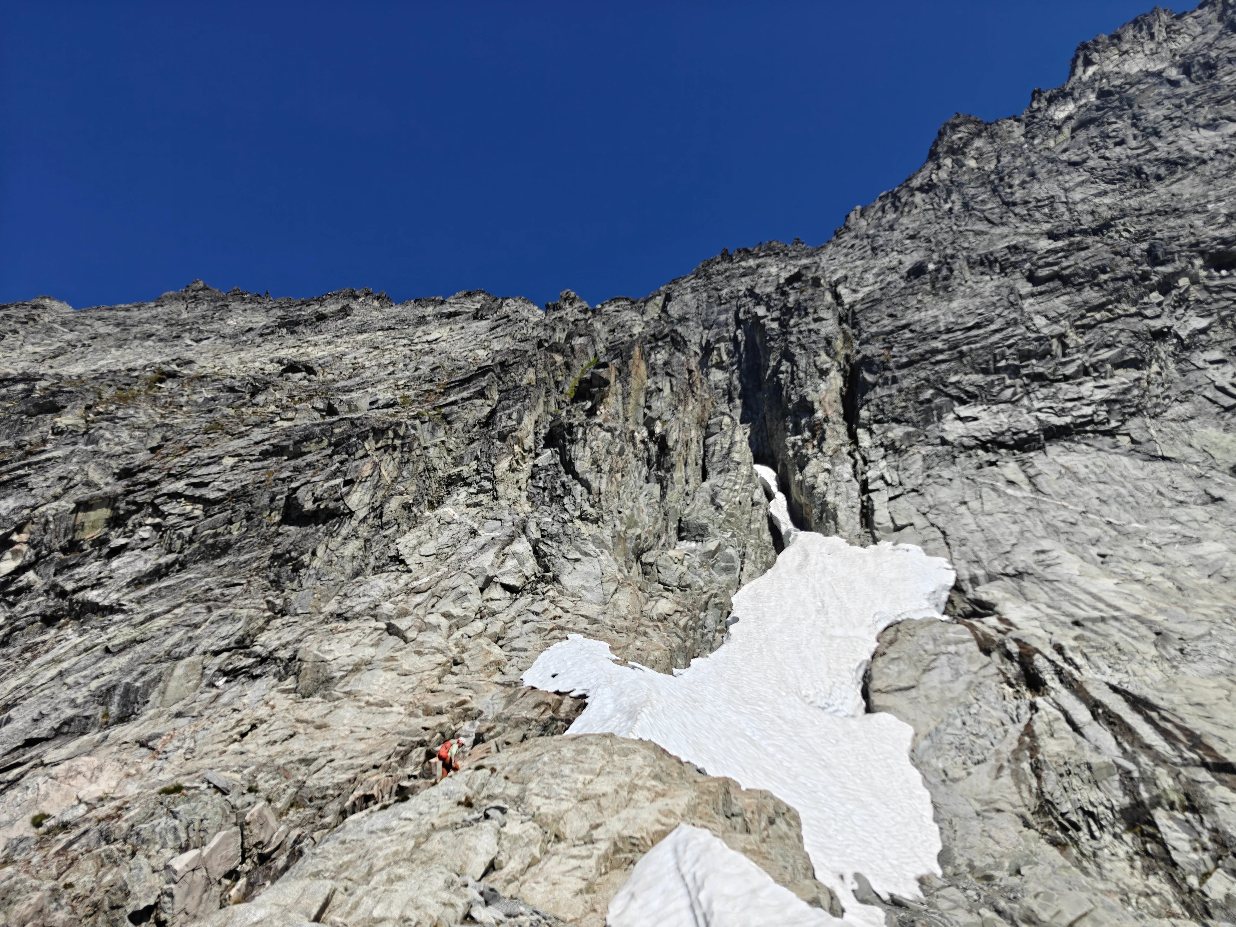
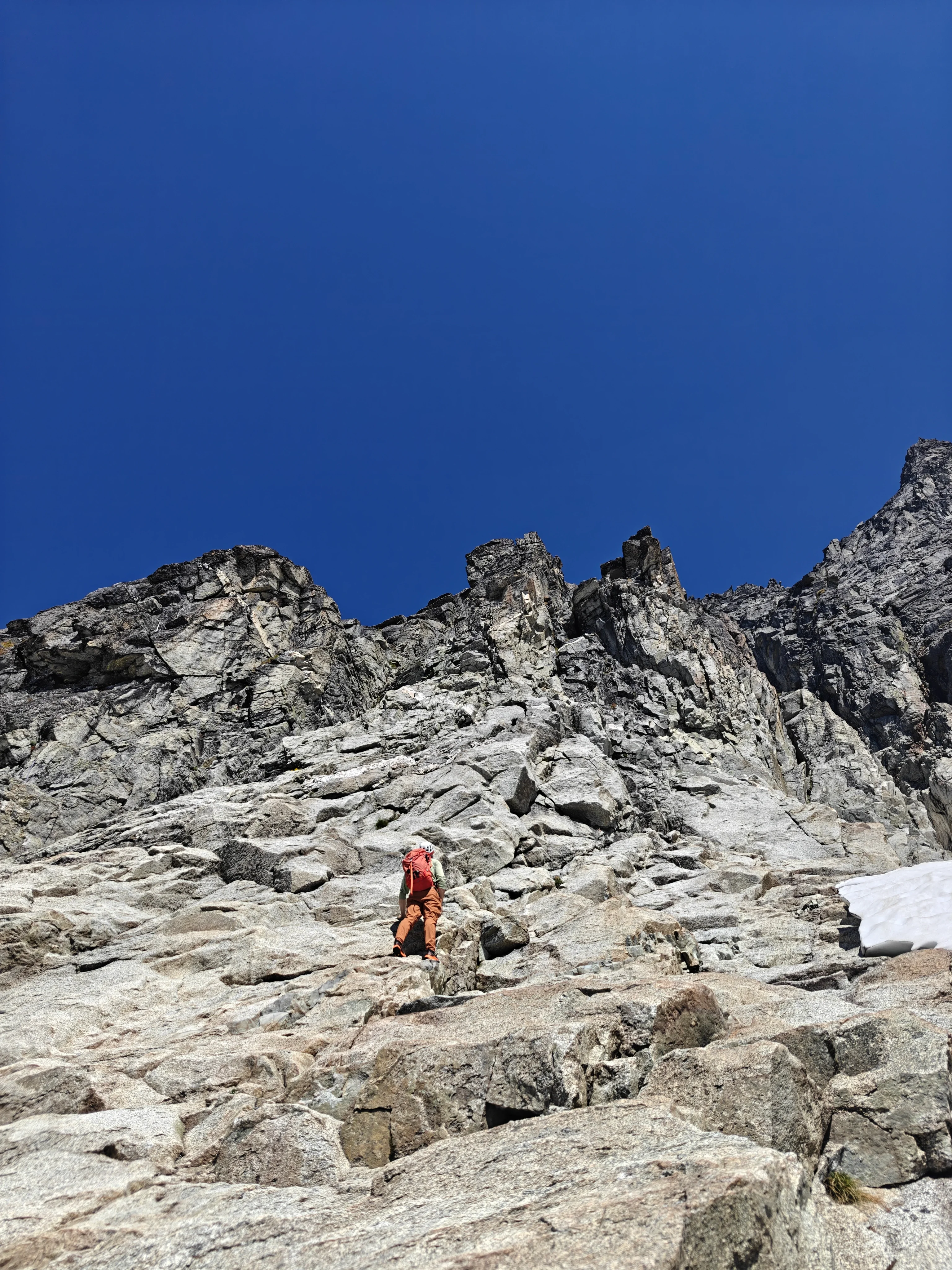
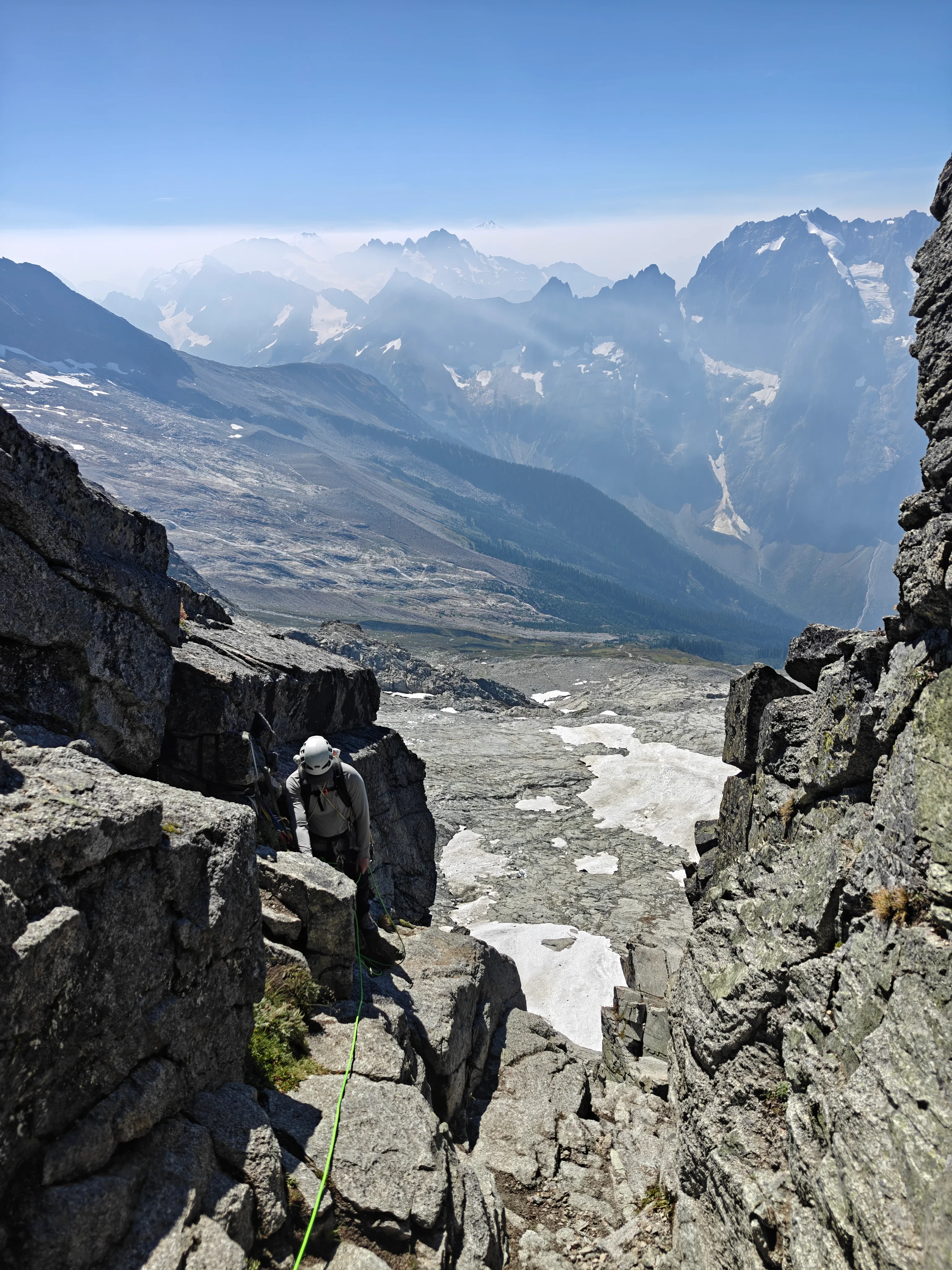
Then we made it to the notch and had a snack.
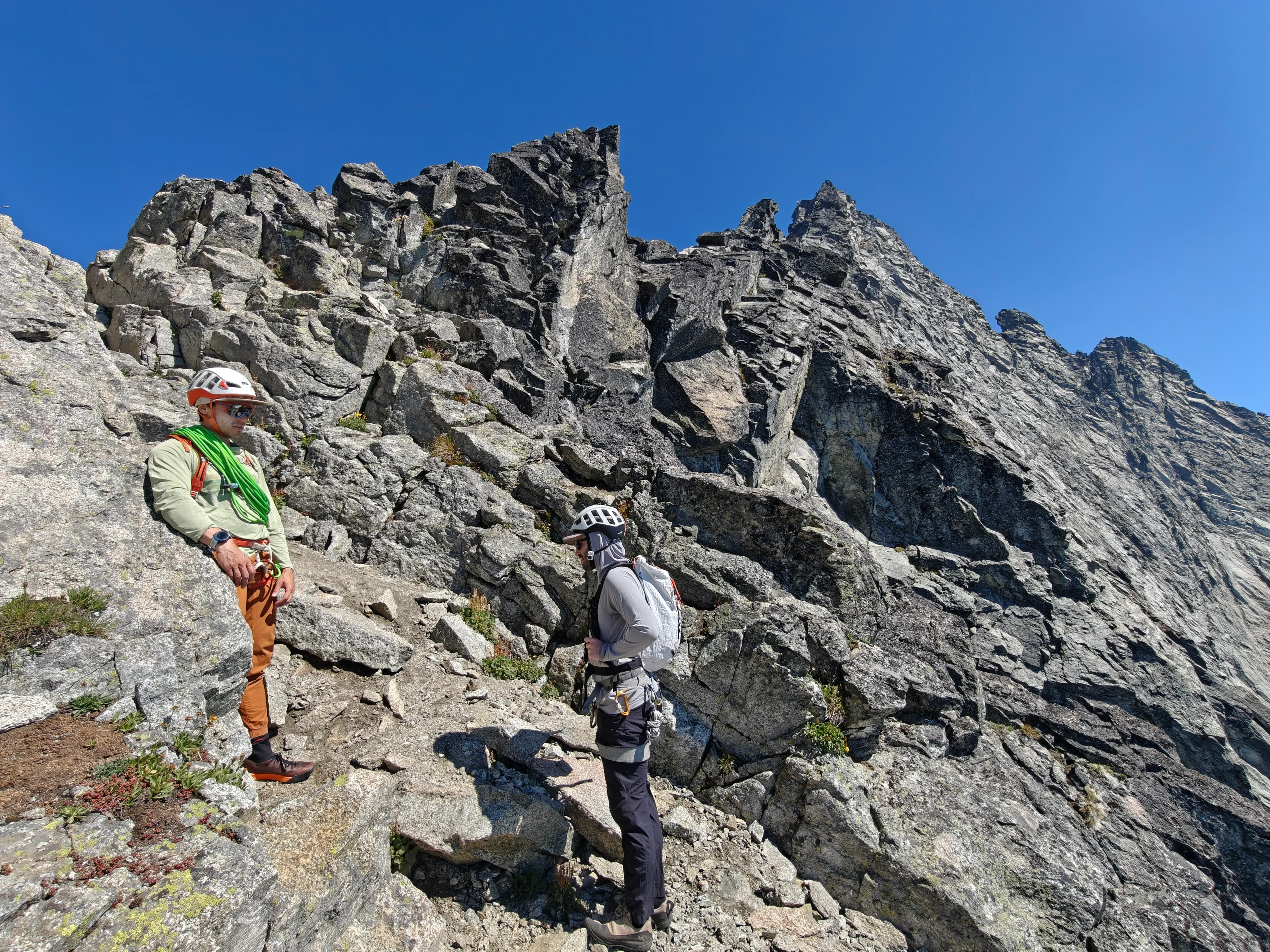
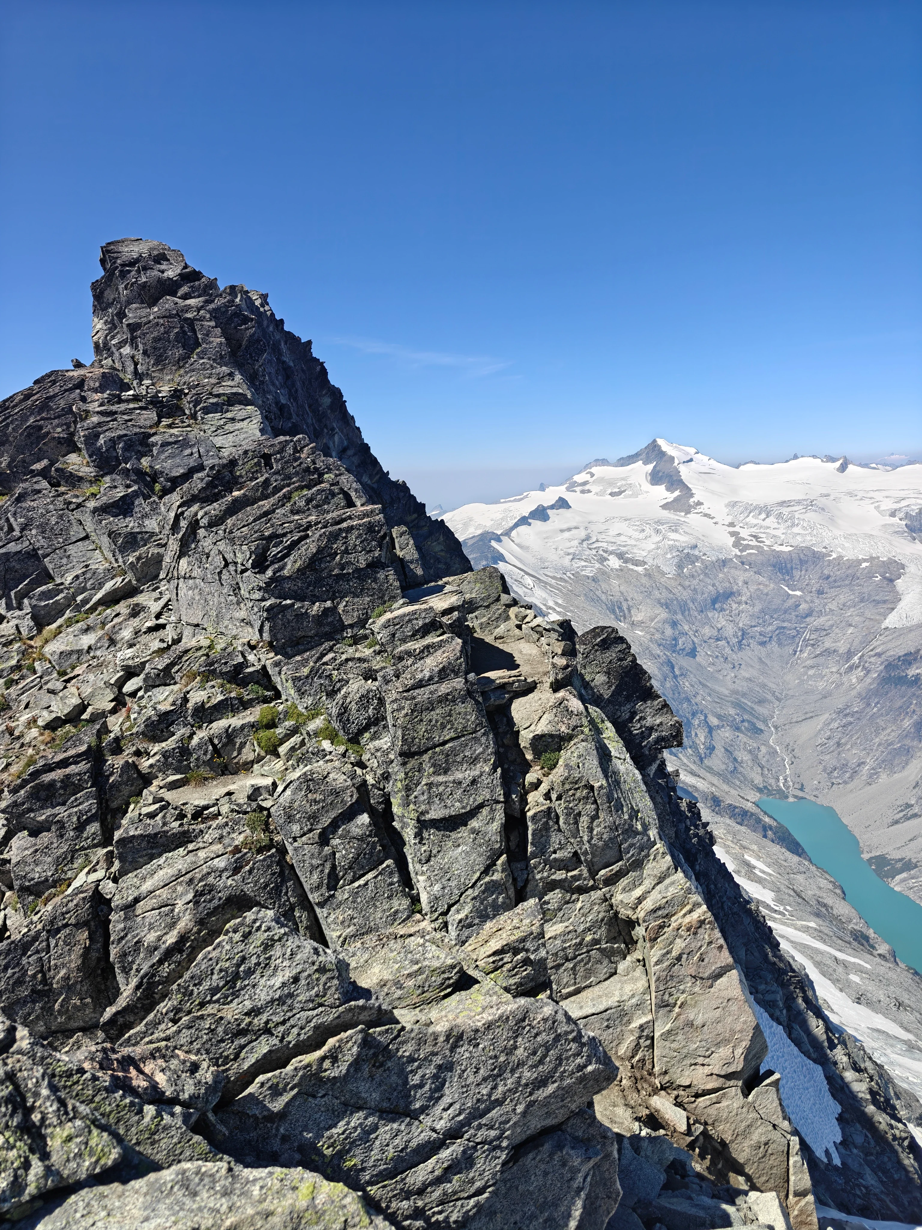
The West Ridge to summit
We ended up just scrambling along the ridge for a while until the terrain got a little bit more difficult.
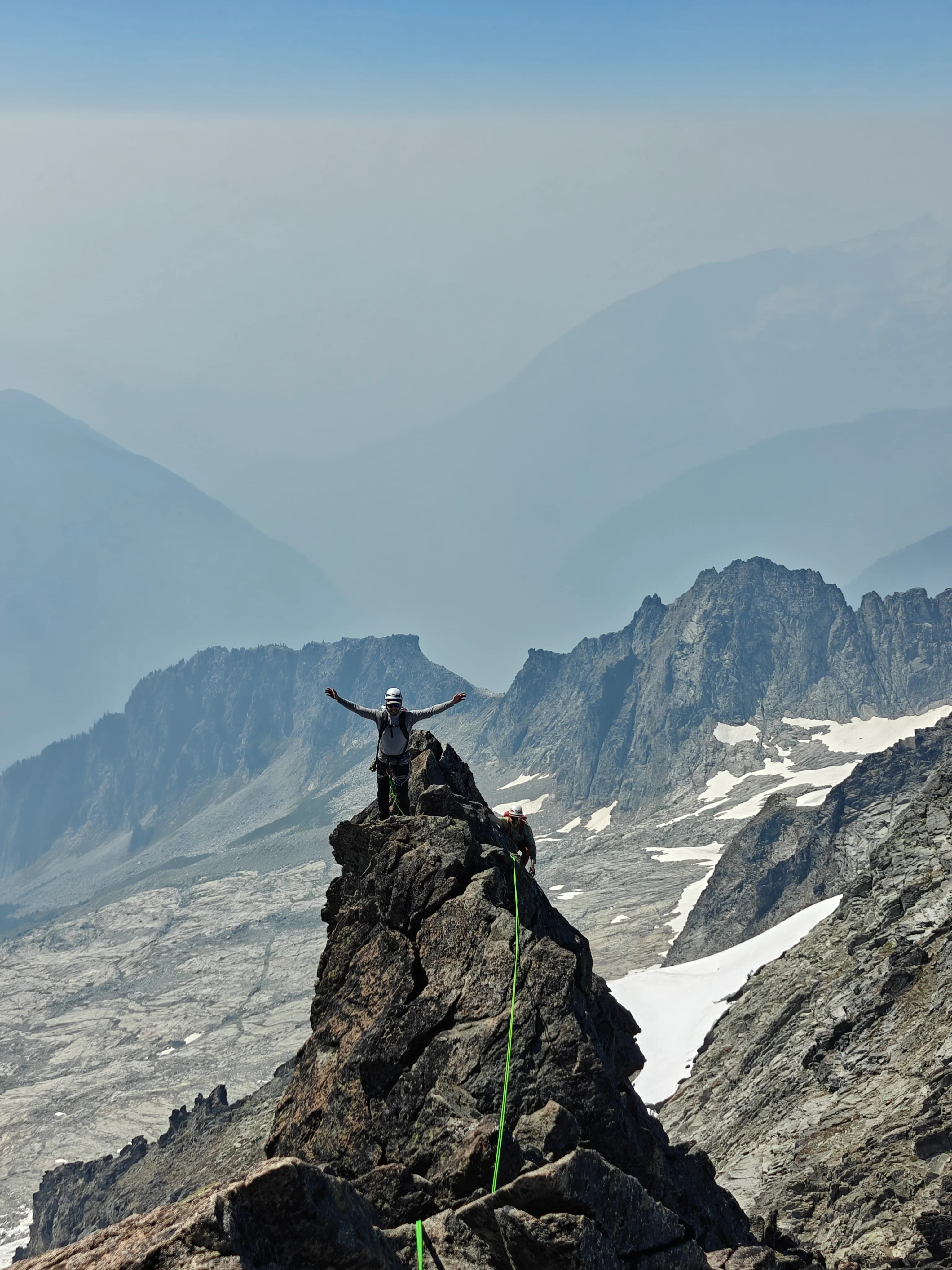
Simuling as a party of three was chill and worked well. We just staggered the followers.
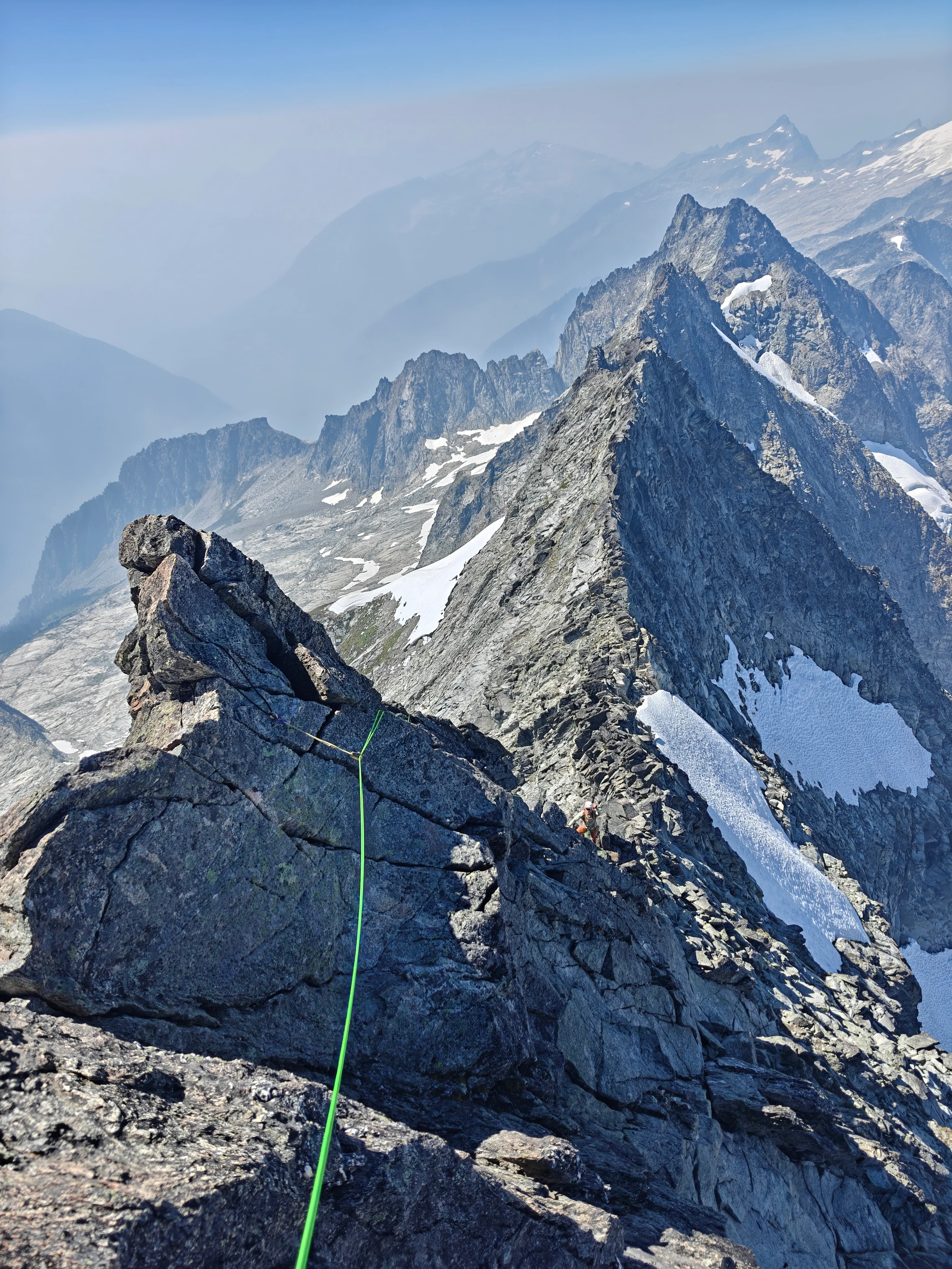
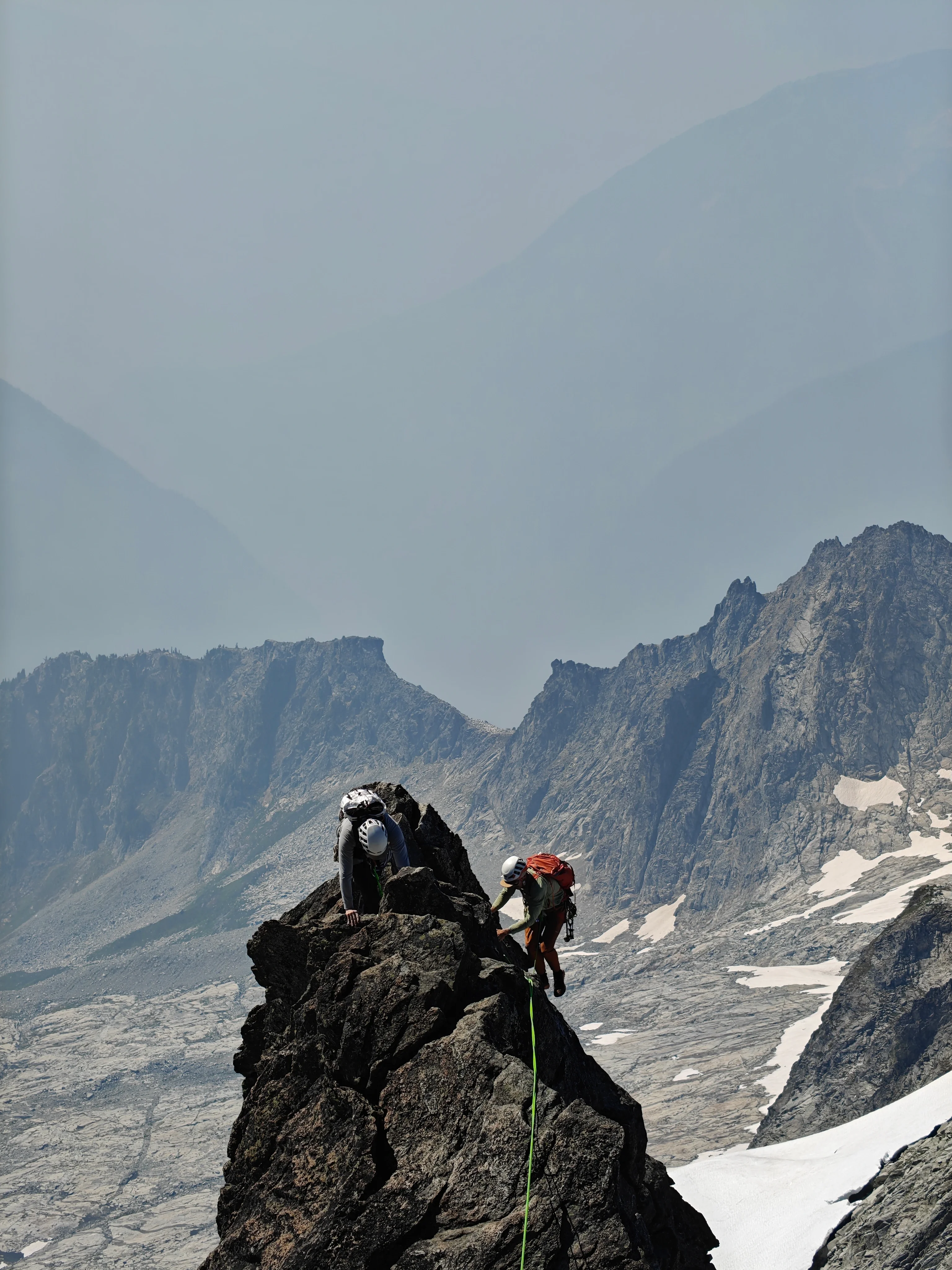
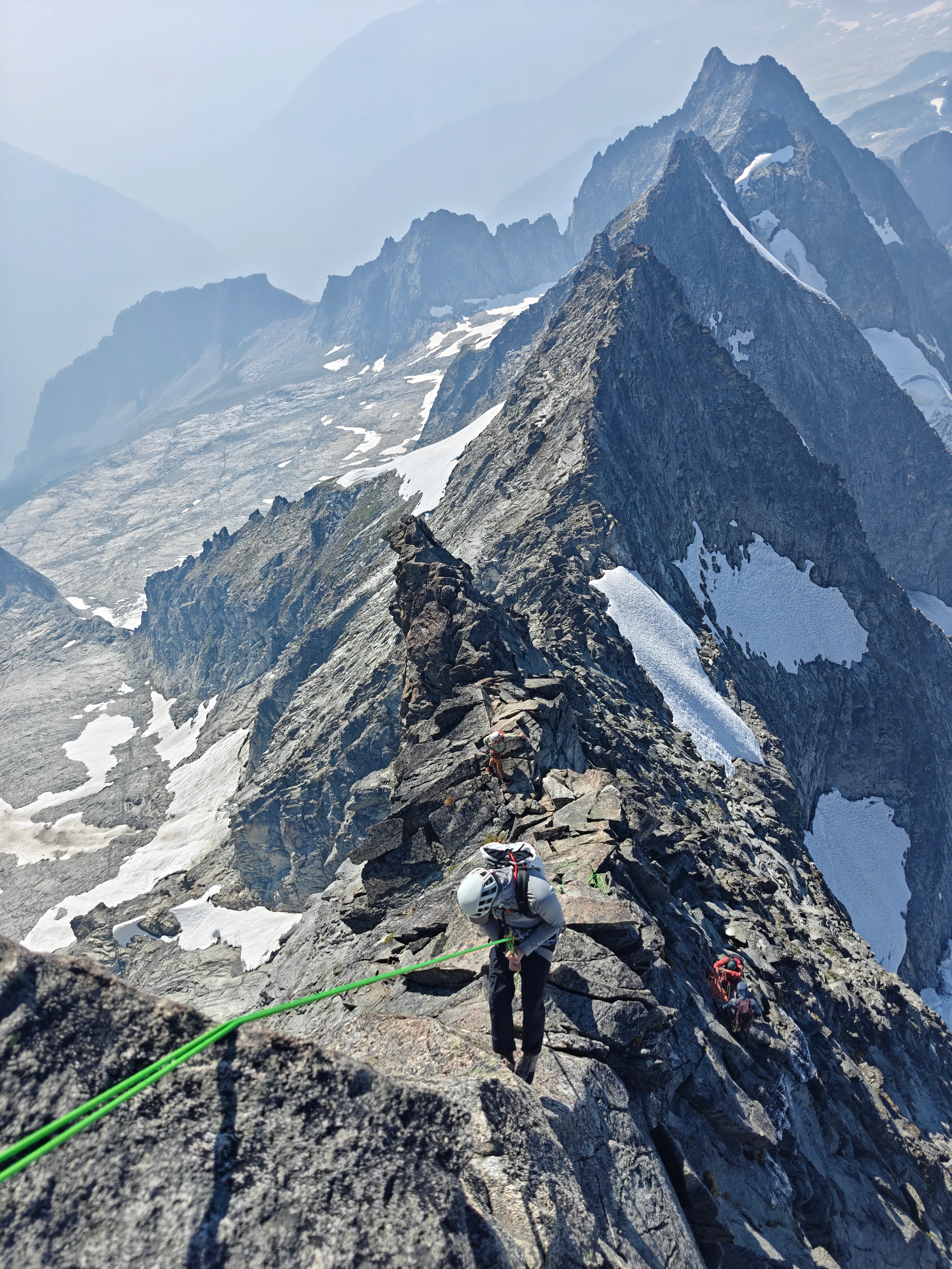
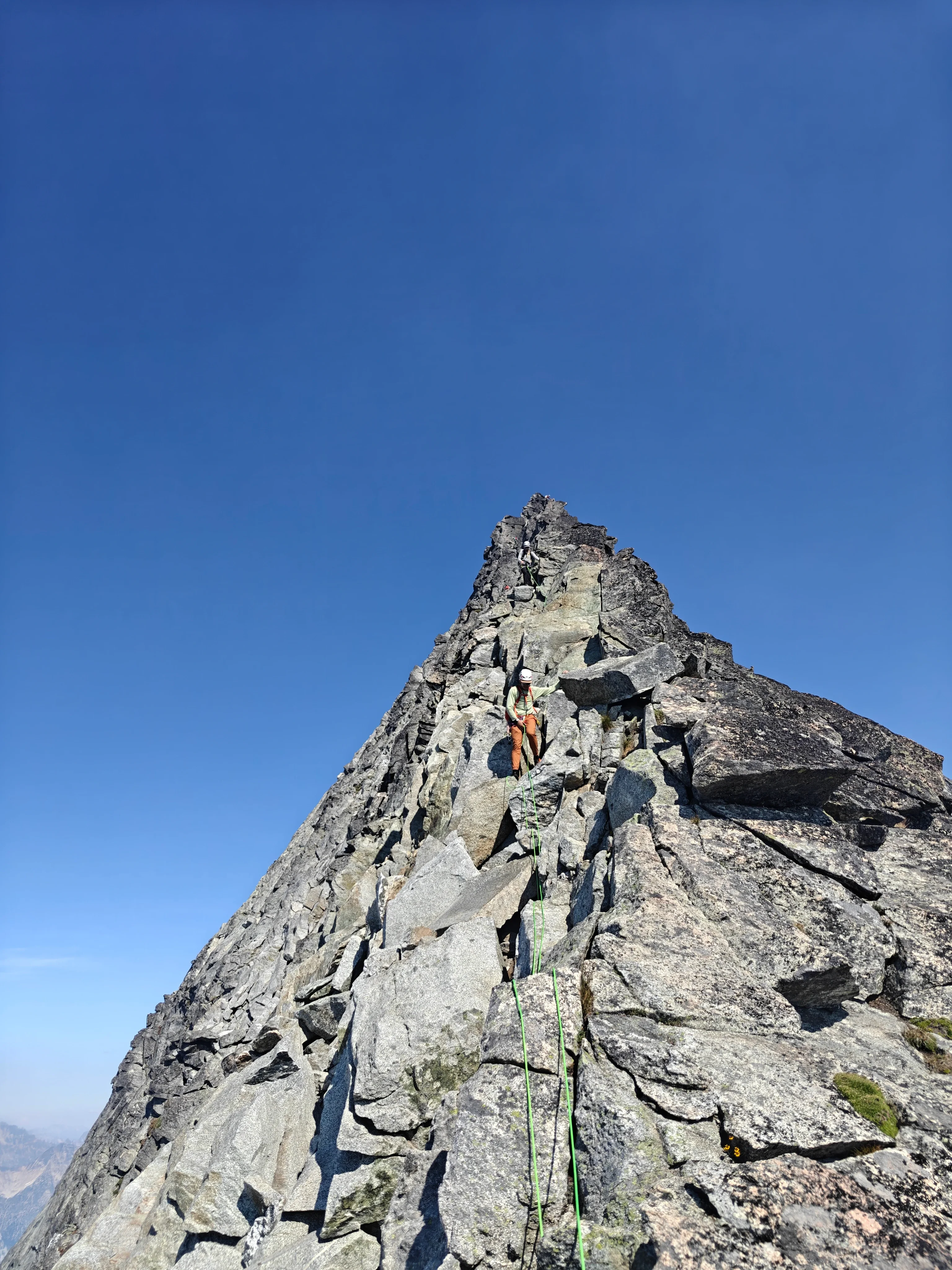
This ridge was insane. The position is wild, big drop-offs on either side. The rock is super high quality. The climbing was easy but fun and a couple cruxier sections made for fun climbing. And cruising it in approach shoes felt great.
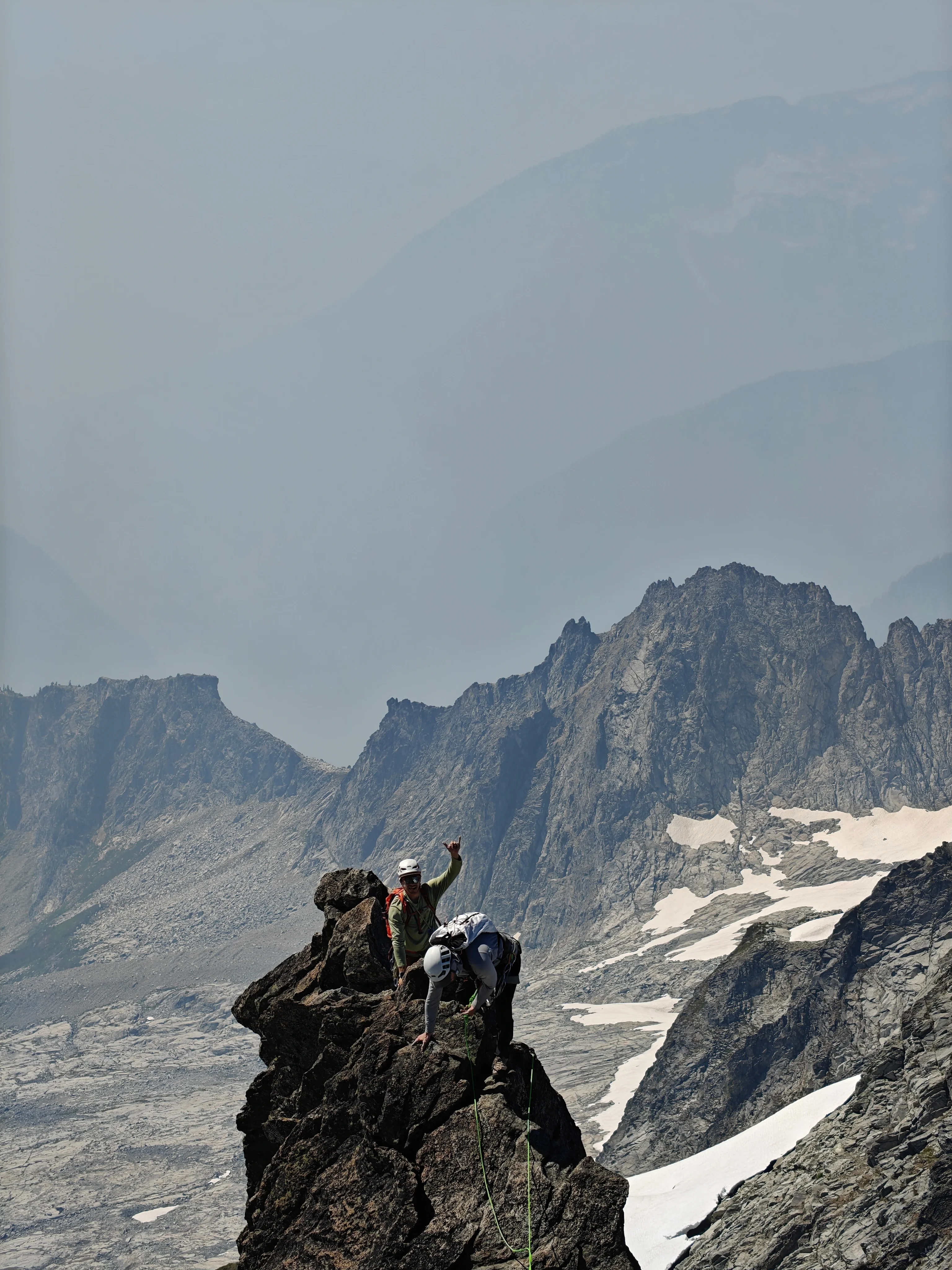
We found a couple parties above us toward the end of the ridge and largely avoided the traffic jam.
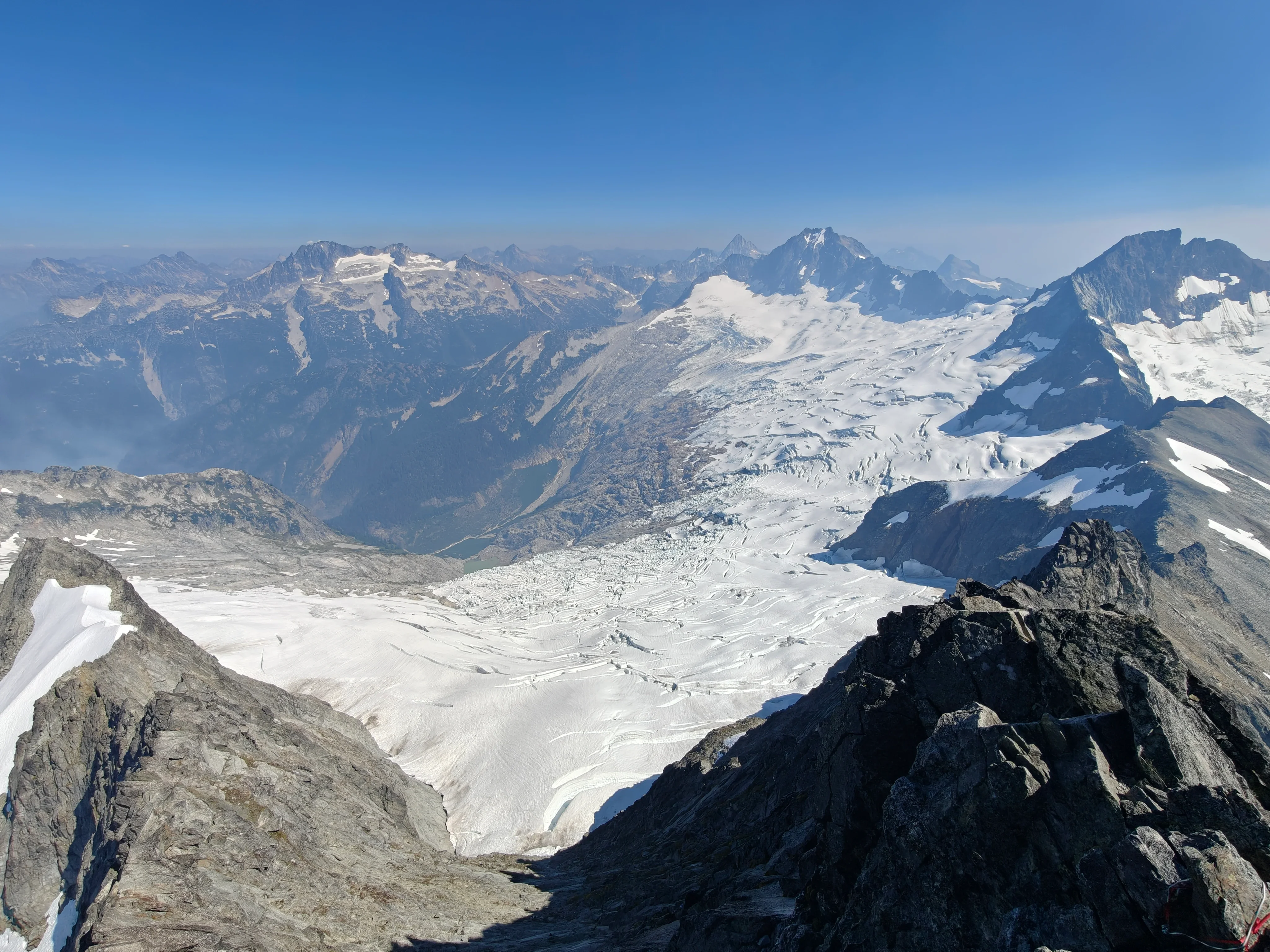
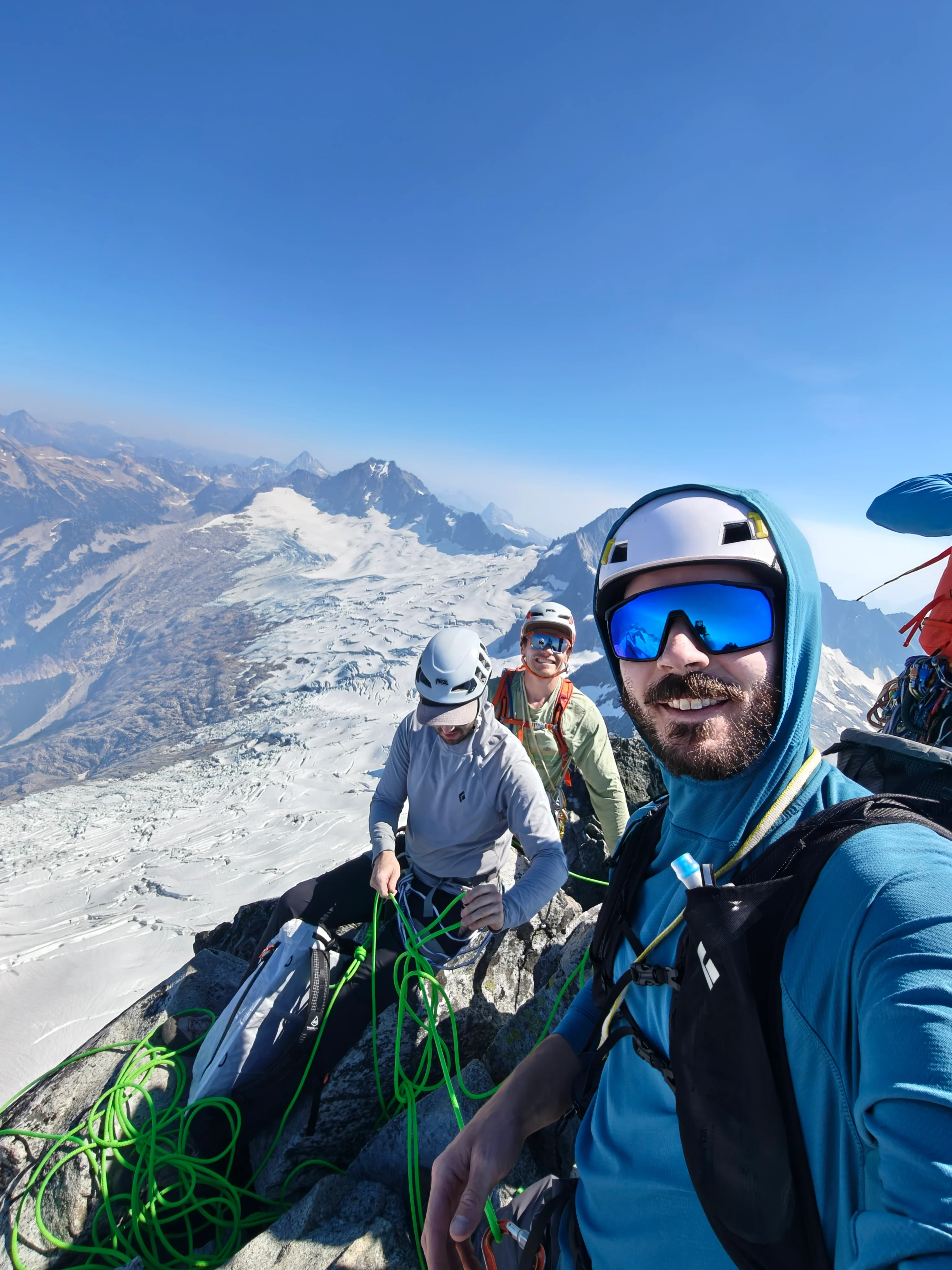
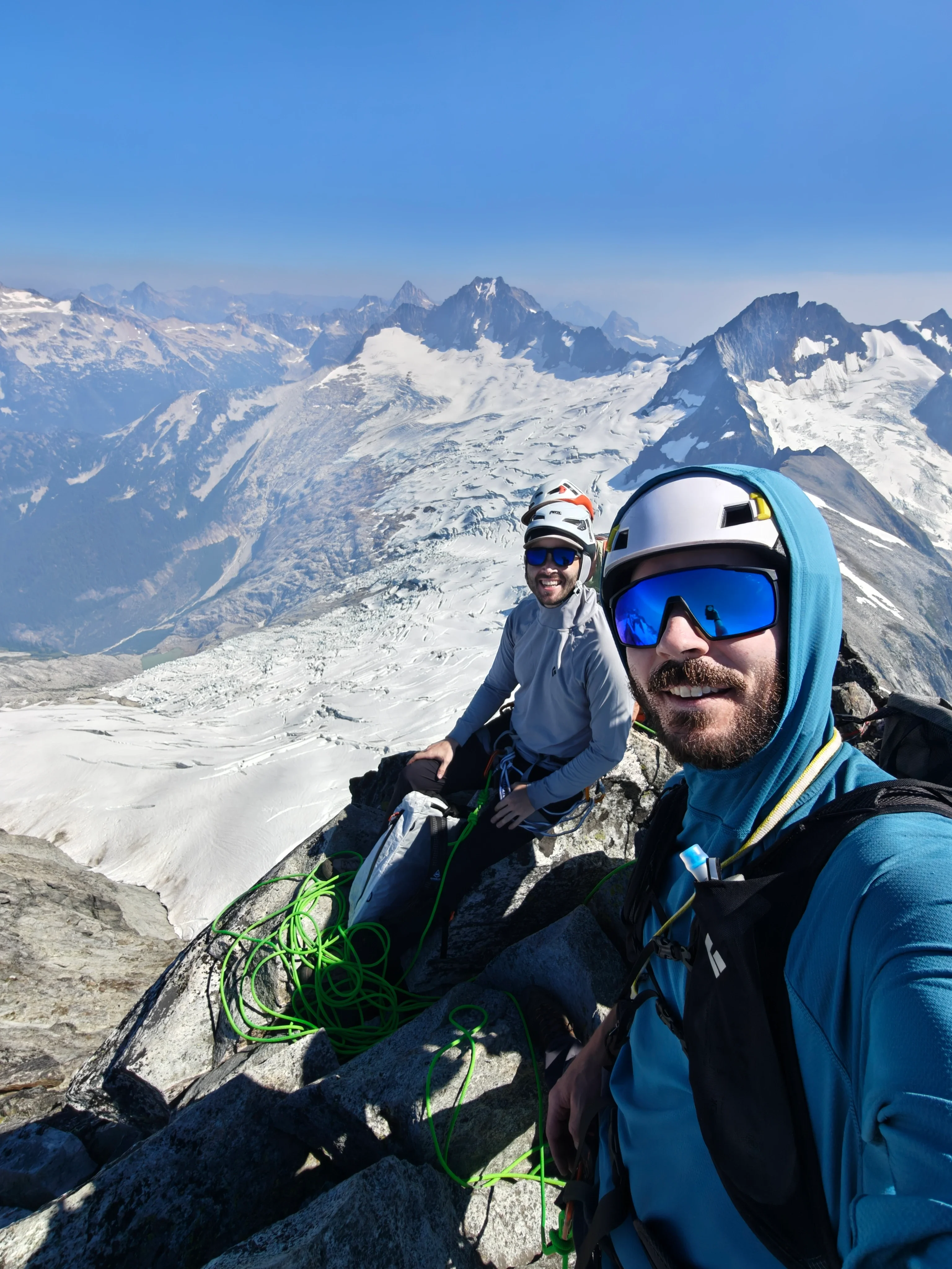
Hot tip: do not try to rap the whole ridge. Rap the two cruxy bits for sure but reversing makes way more sense. There was a team trying to rap the whole ridge who I think ended up being on route for quite a long time…
Descending the Cat Scratch Gullies
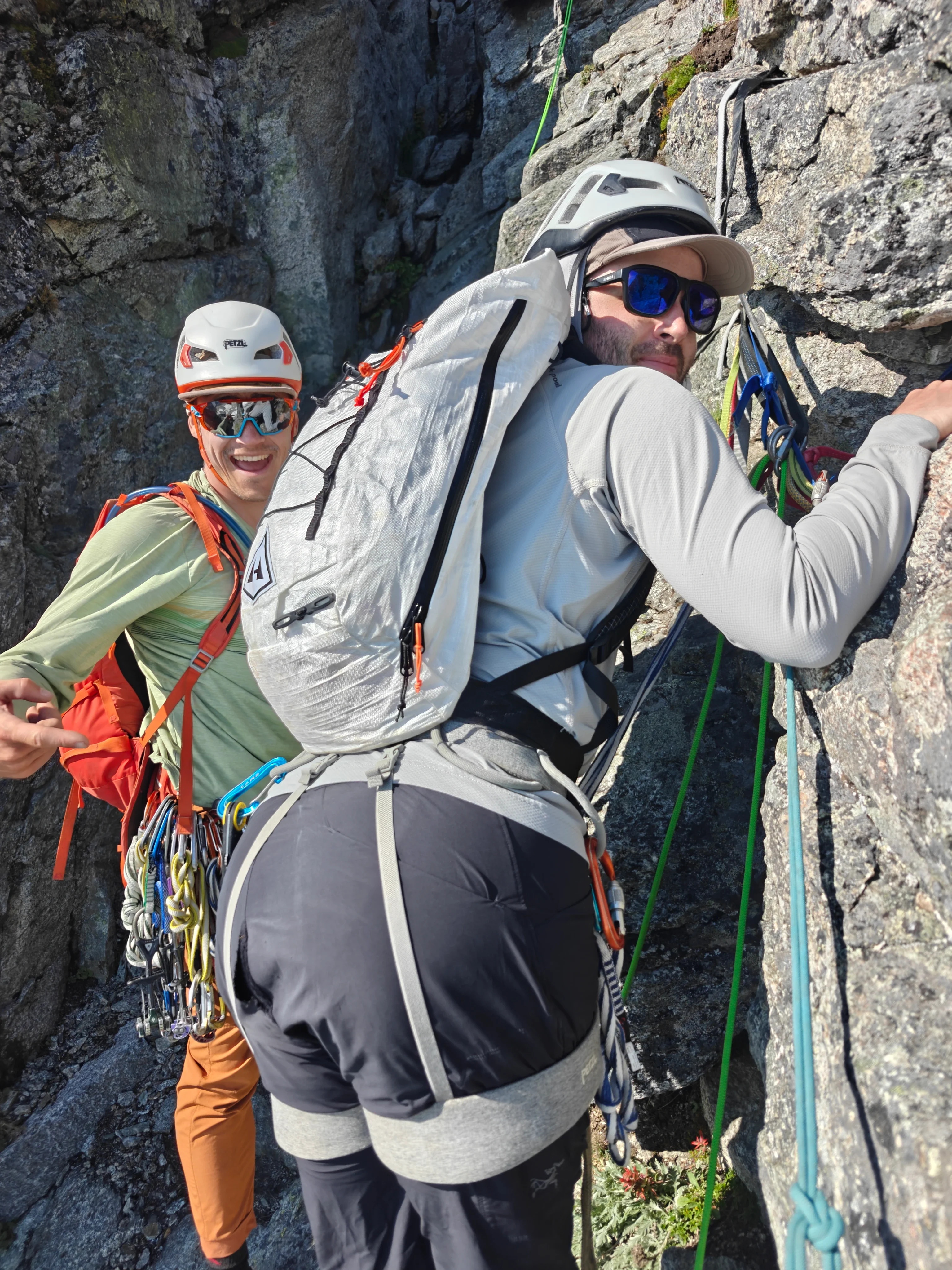
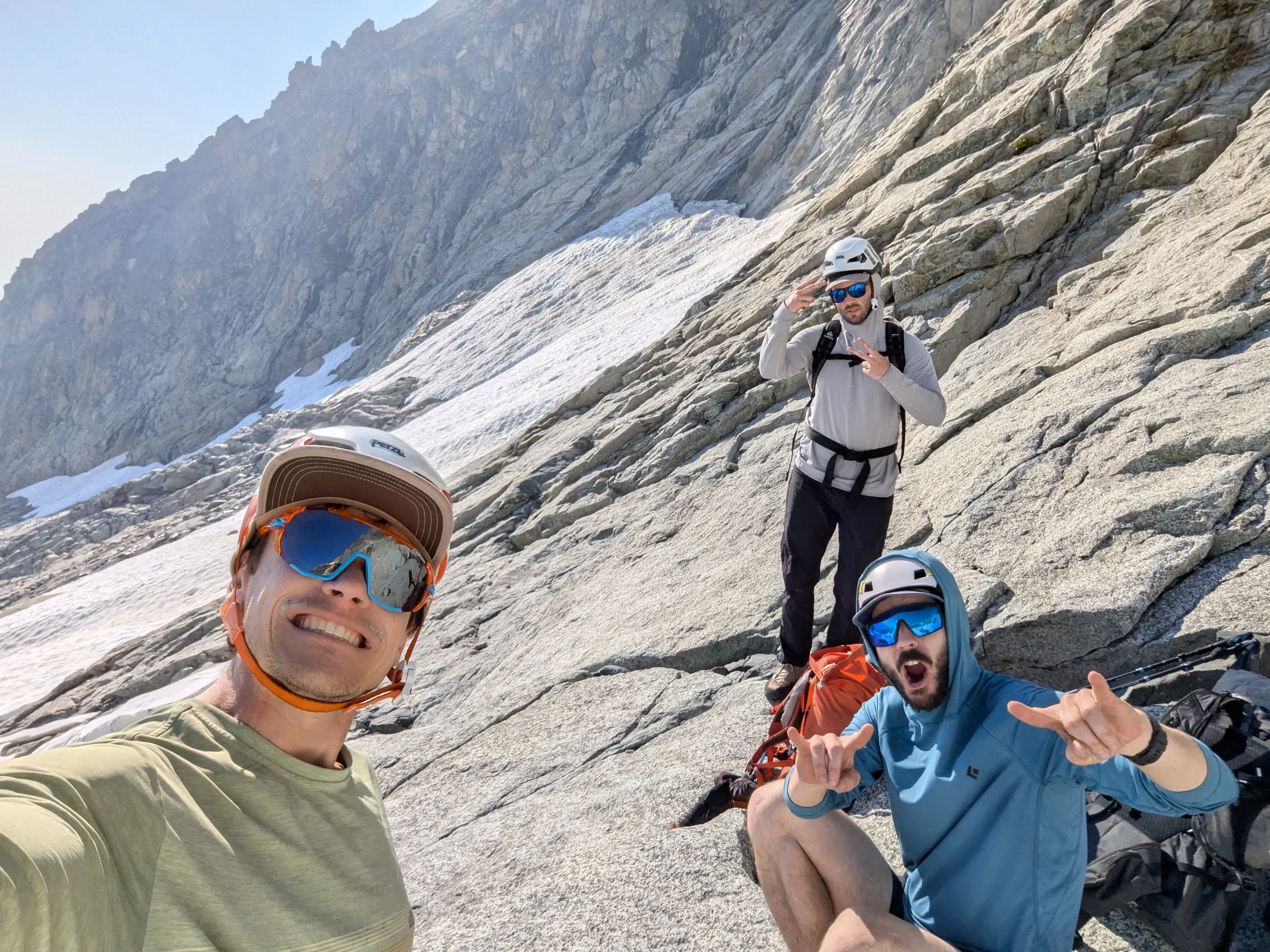
We were most nervous for this descent to be totally honest. It ended up not being that bad, especially because we beat the other parties back to the descent and they weren’t above us for most of our time in the gullies. But we still had some small rockfall come down. Thankfully, our 50m rope was enough to rap the whole gully with 5 raps.
Back down the slabs
After a short boot ski on that snow patch, we started cruisin’ slabs down.
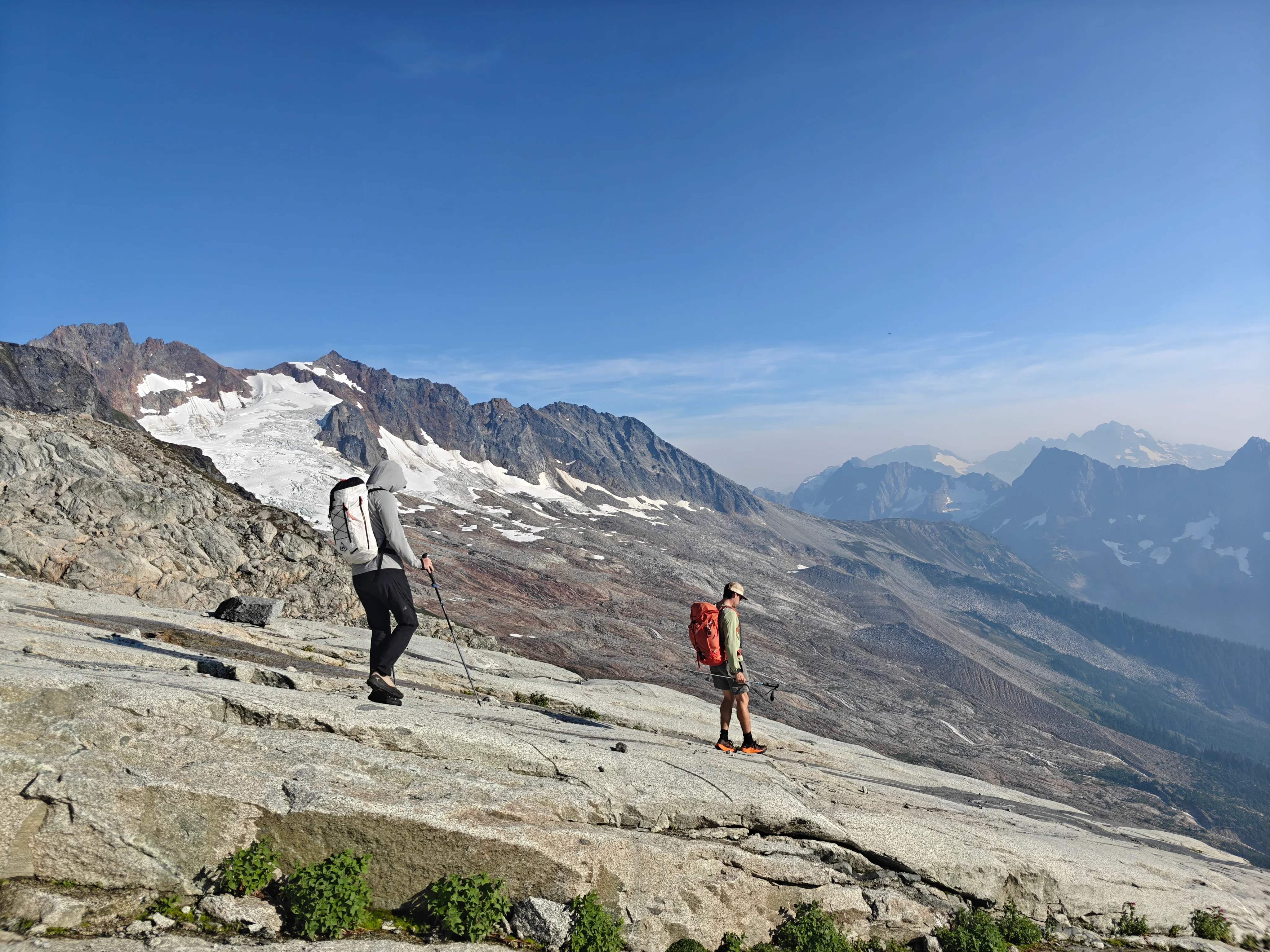
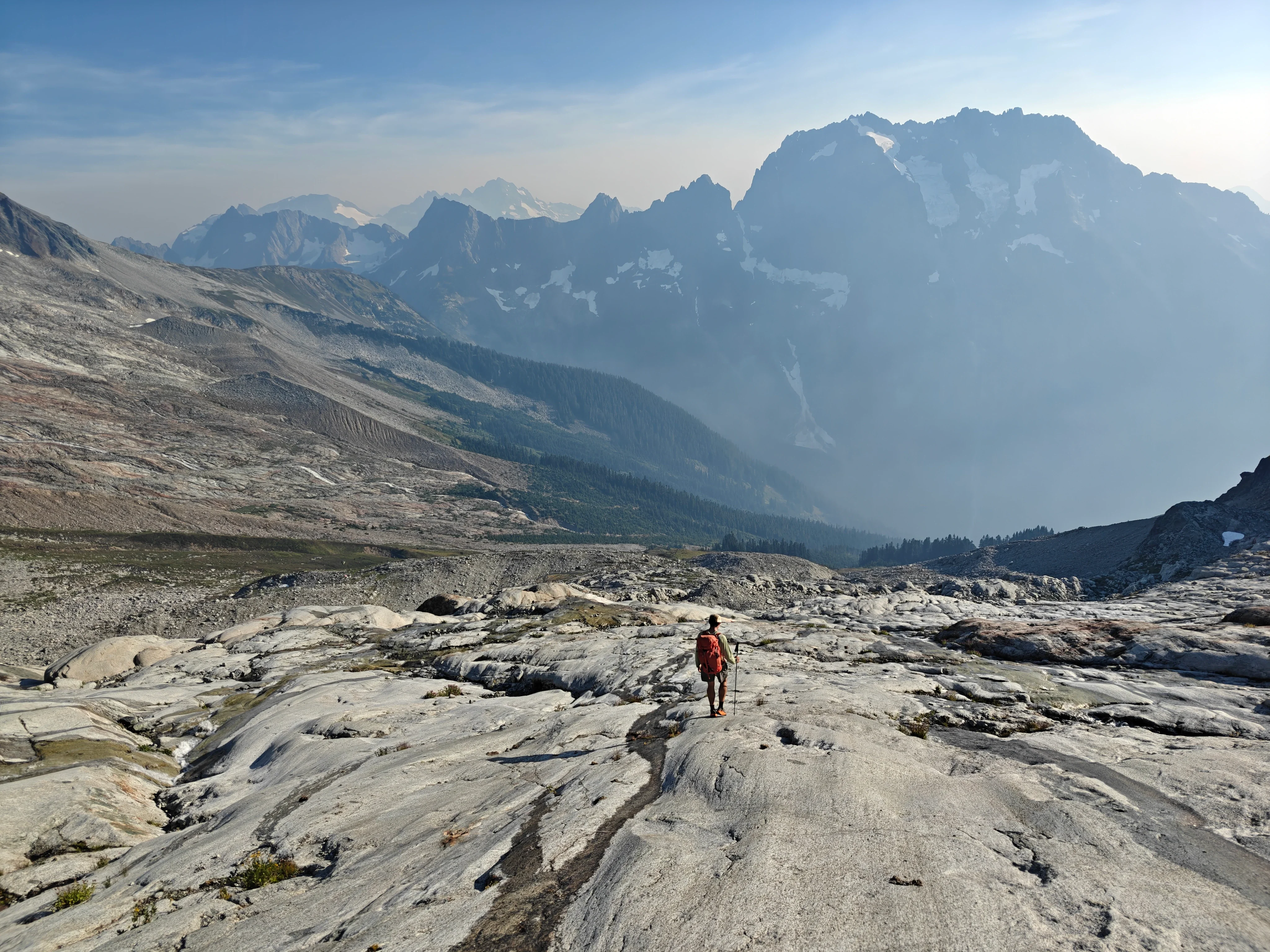
This part was rough on Sean’s knee so he employed some technical inverting.
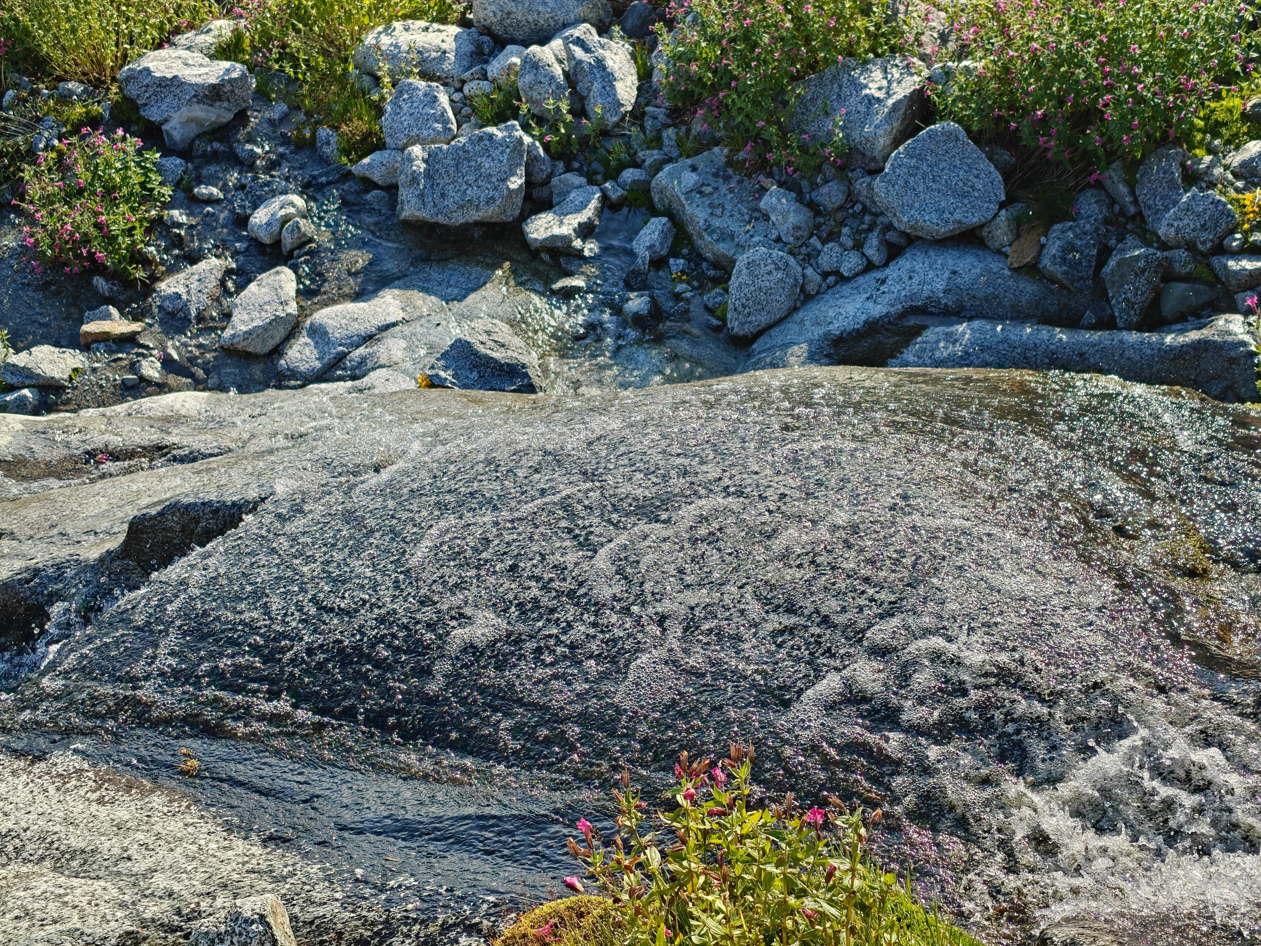
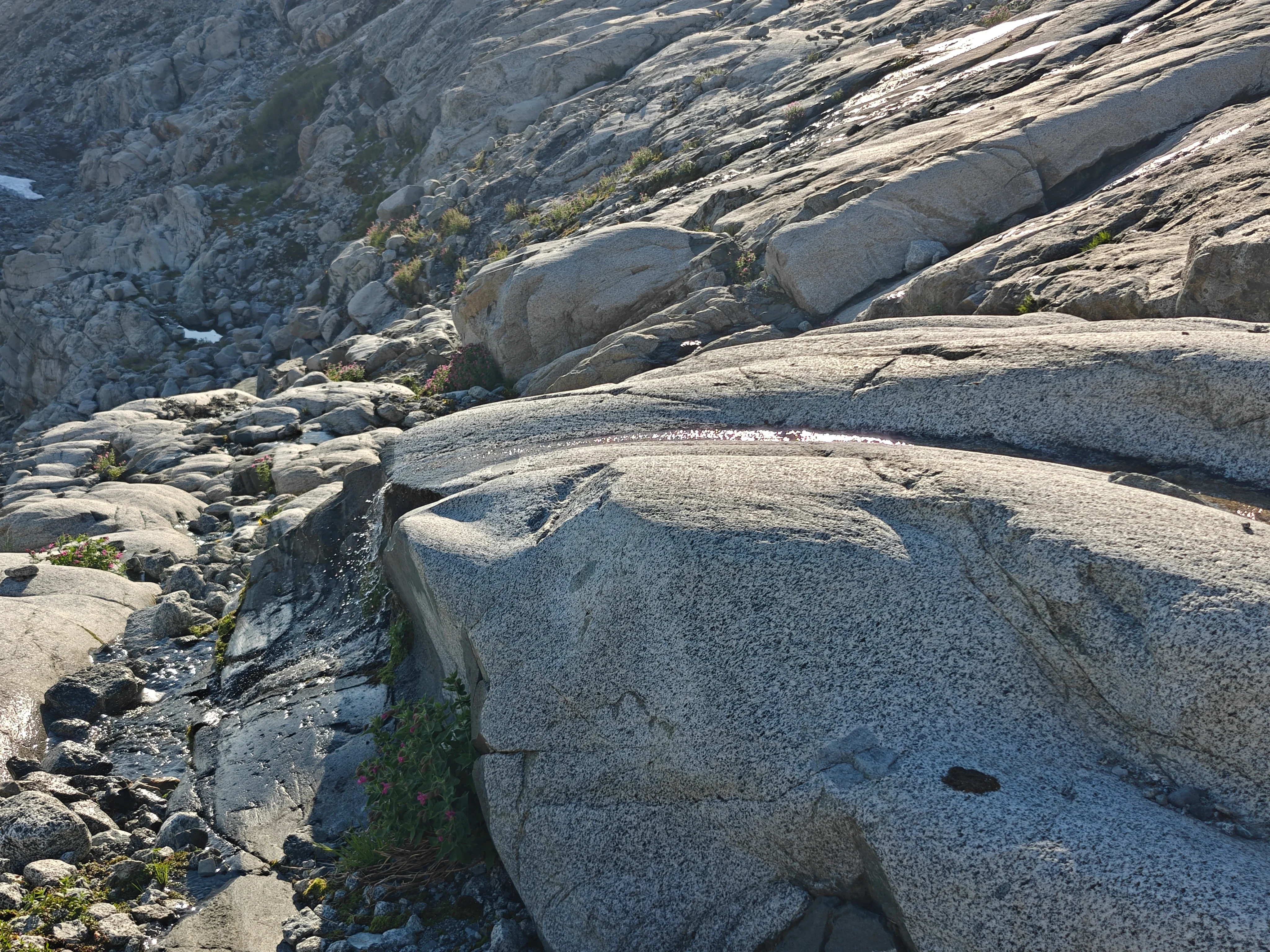
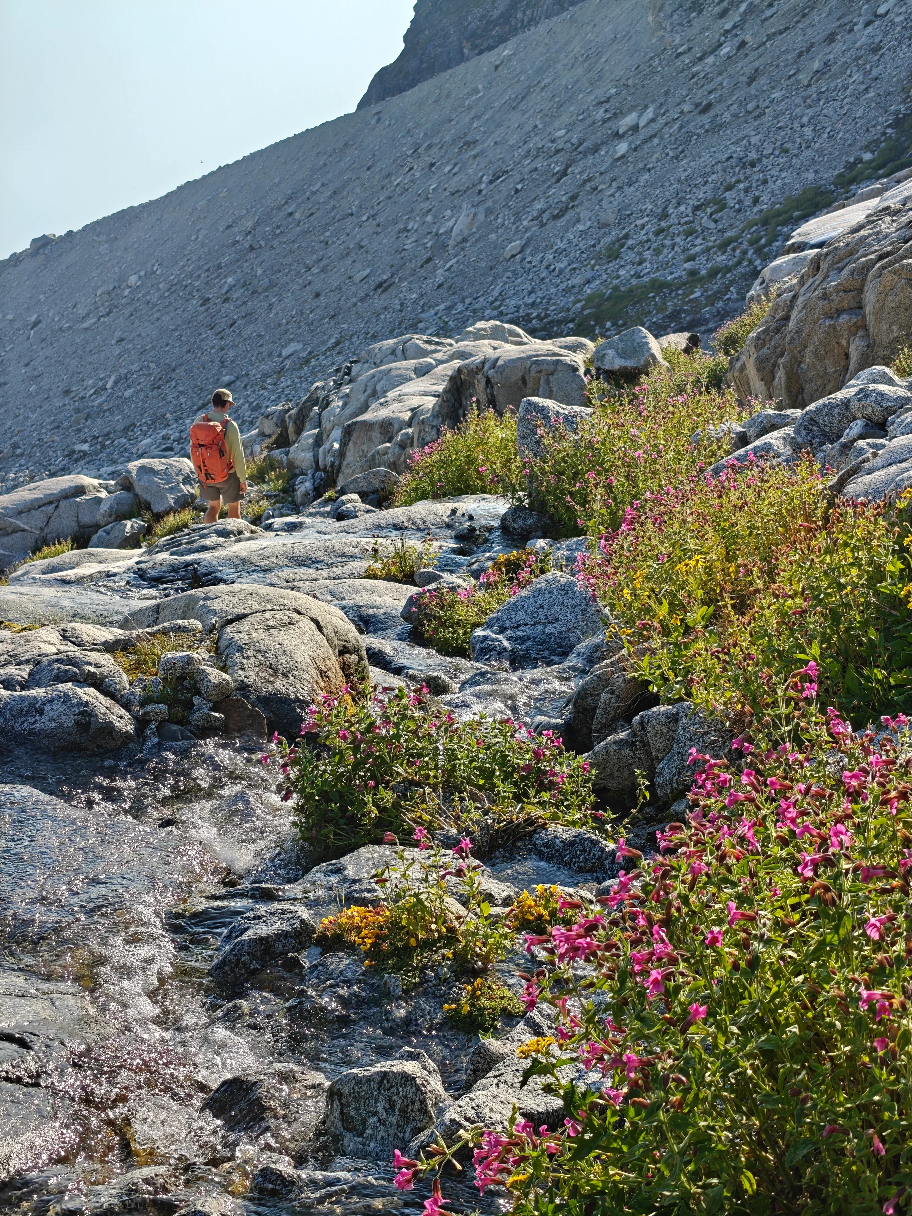
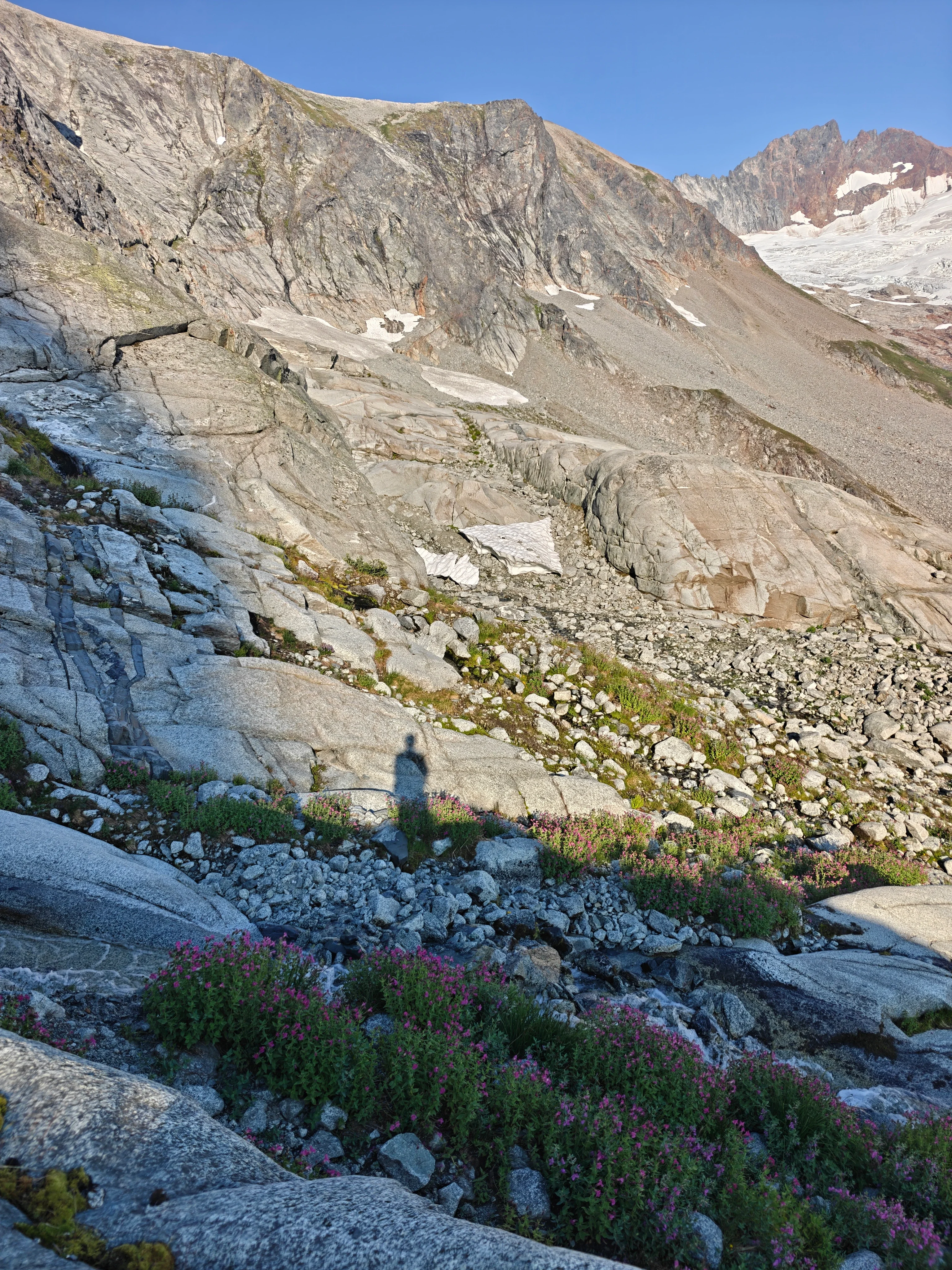
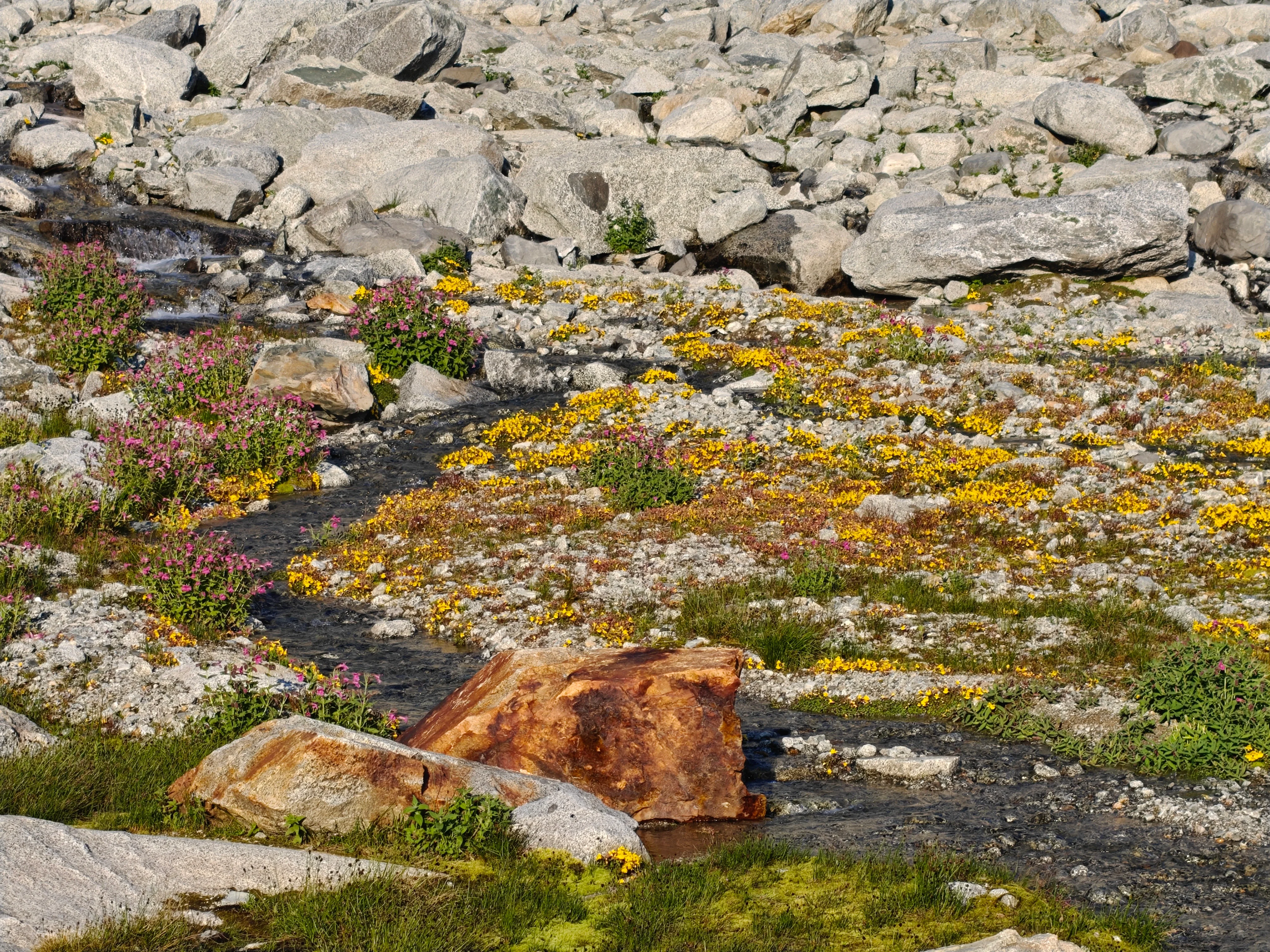
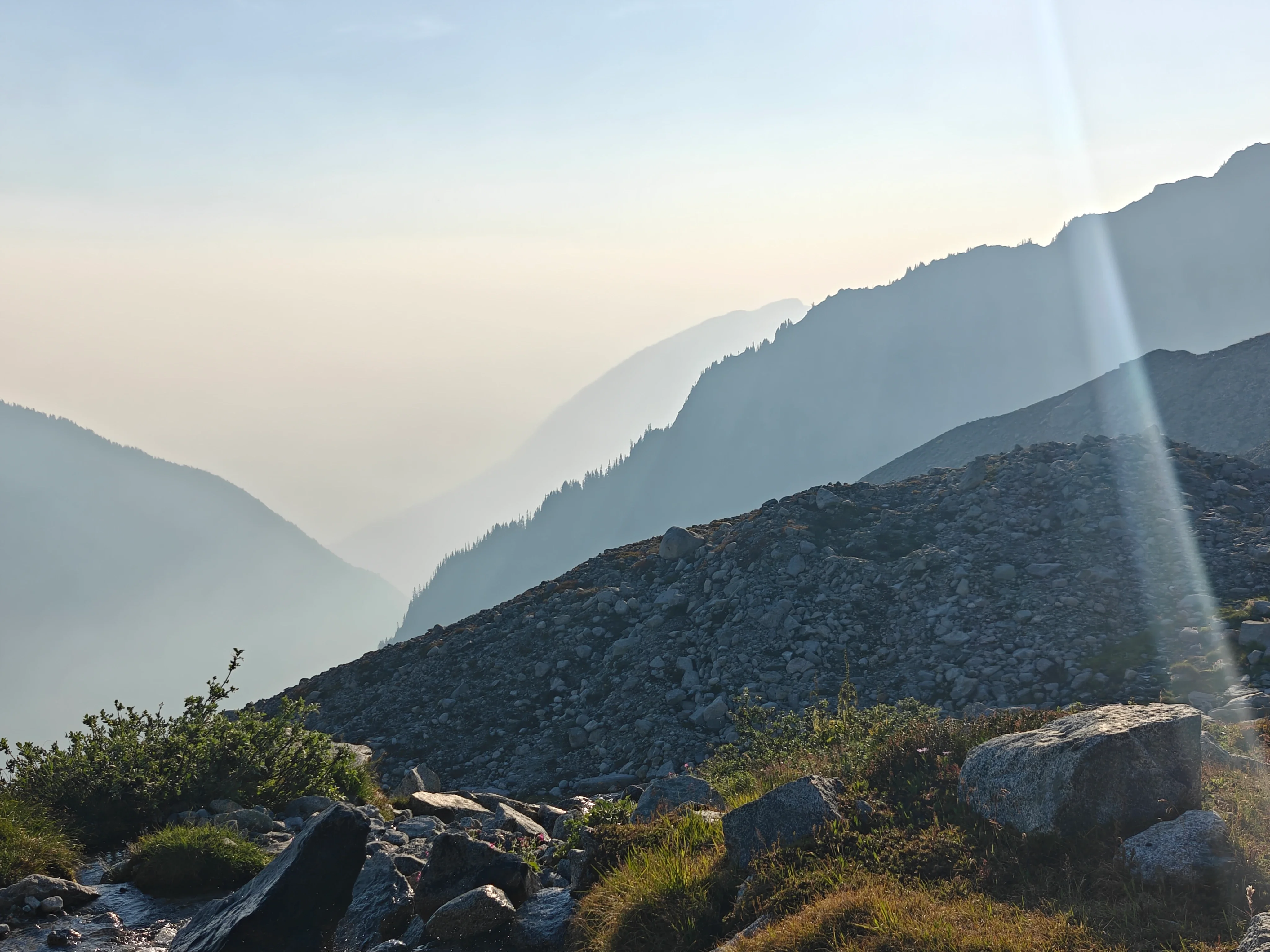
The light was getting pretty cool and I was getting mesmerized by water features and the views. I really, really enjoyed this part of the day. Enjoy:
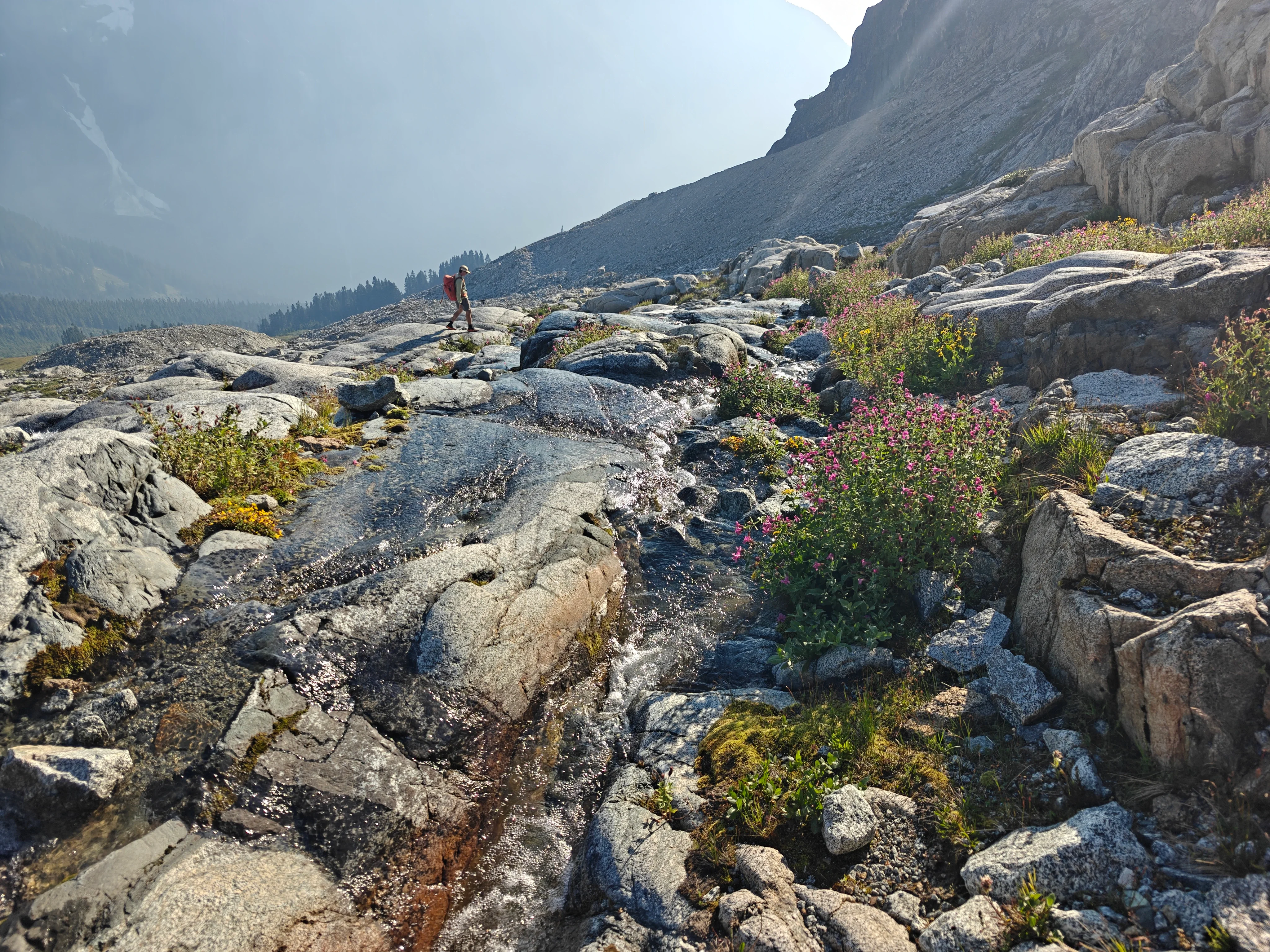
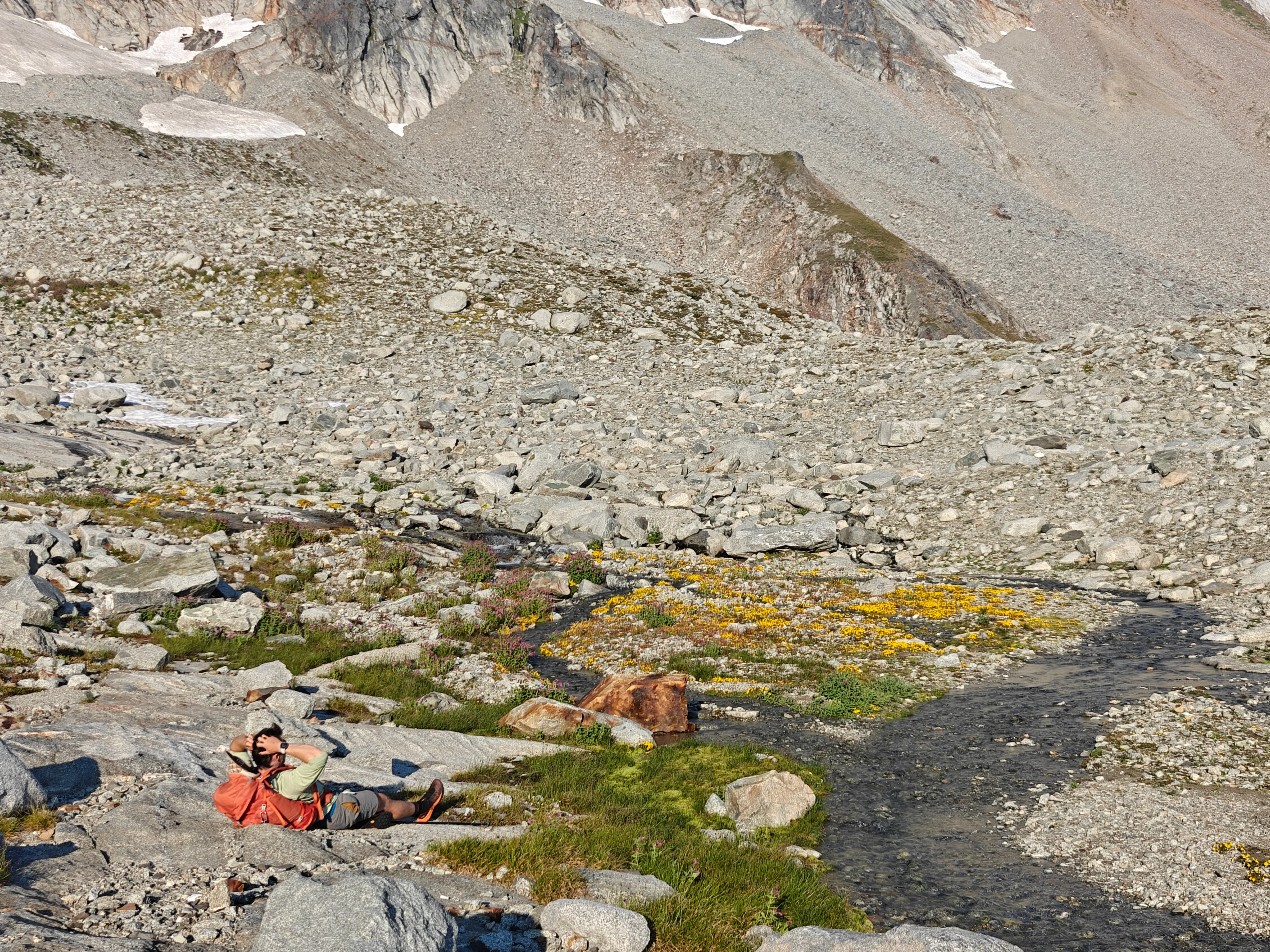
We got down to high camp and got some water and chilled for a bit. Matt took a micro nap. I put my feet in the water. It was a great little break before it was about to become a National Geographic nature documentary.
The nature documentary
The amount of wildlife…
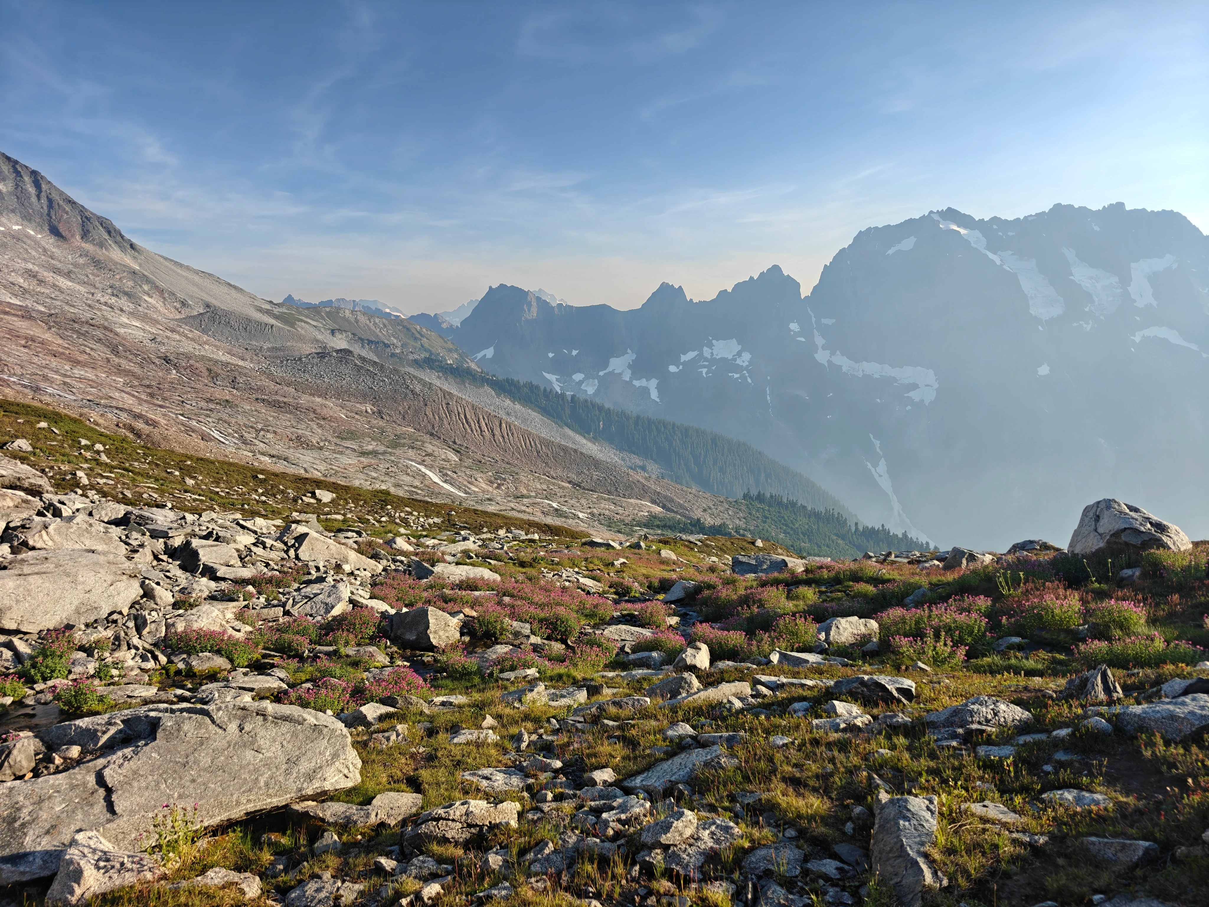
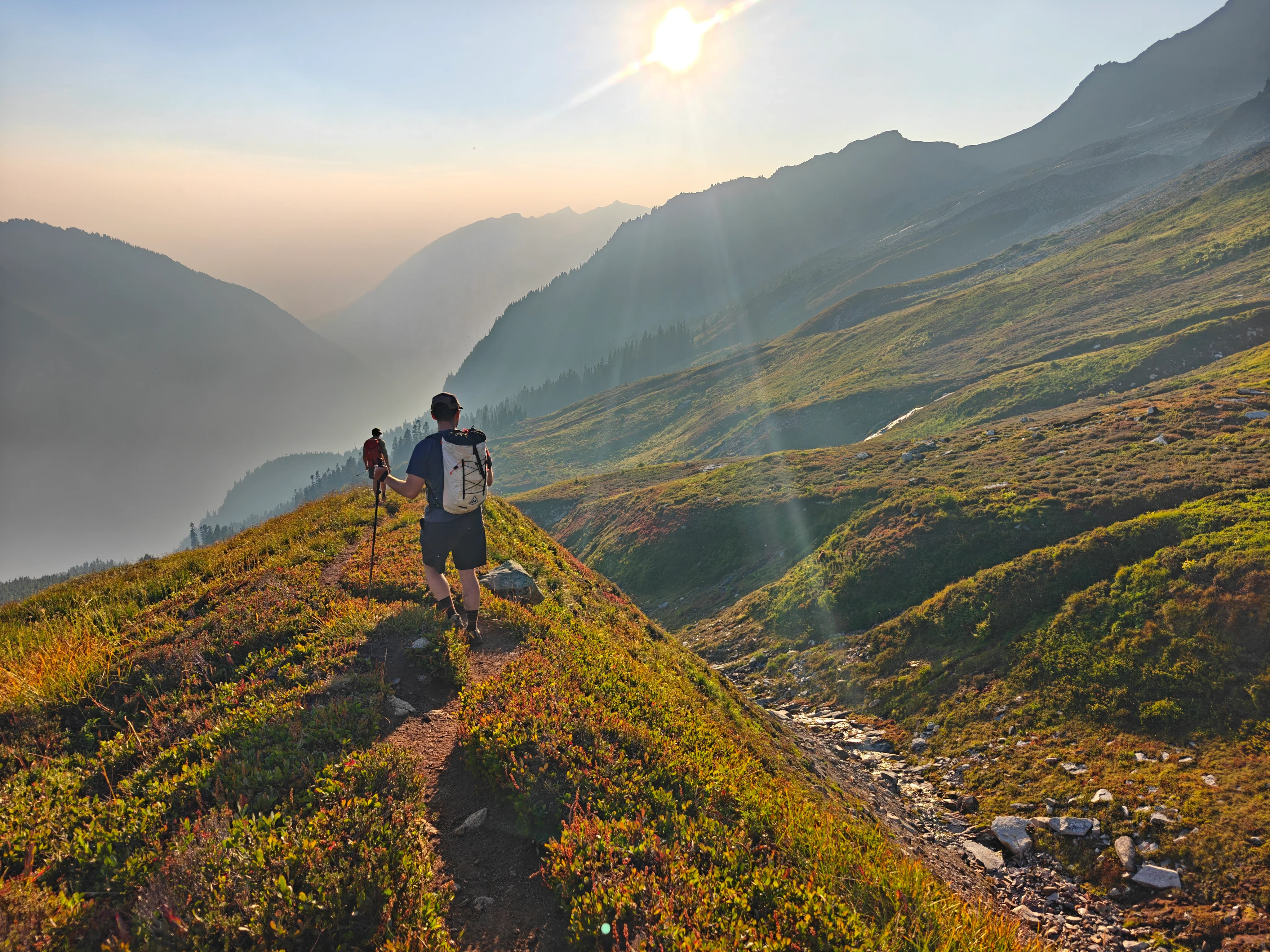
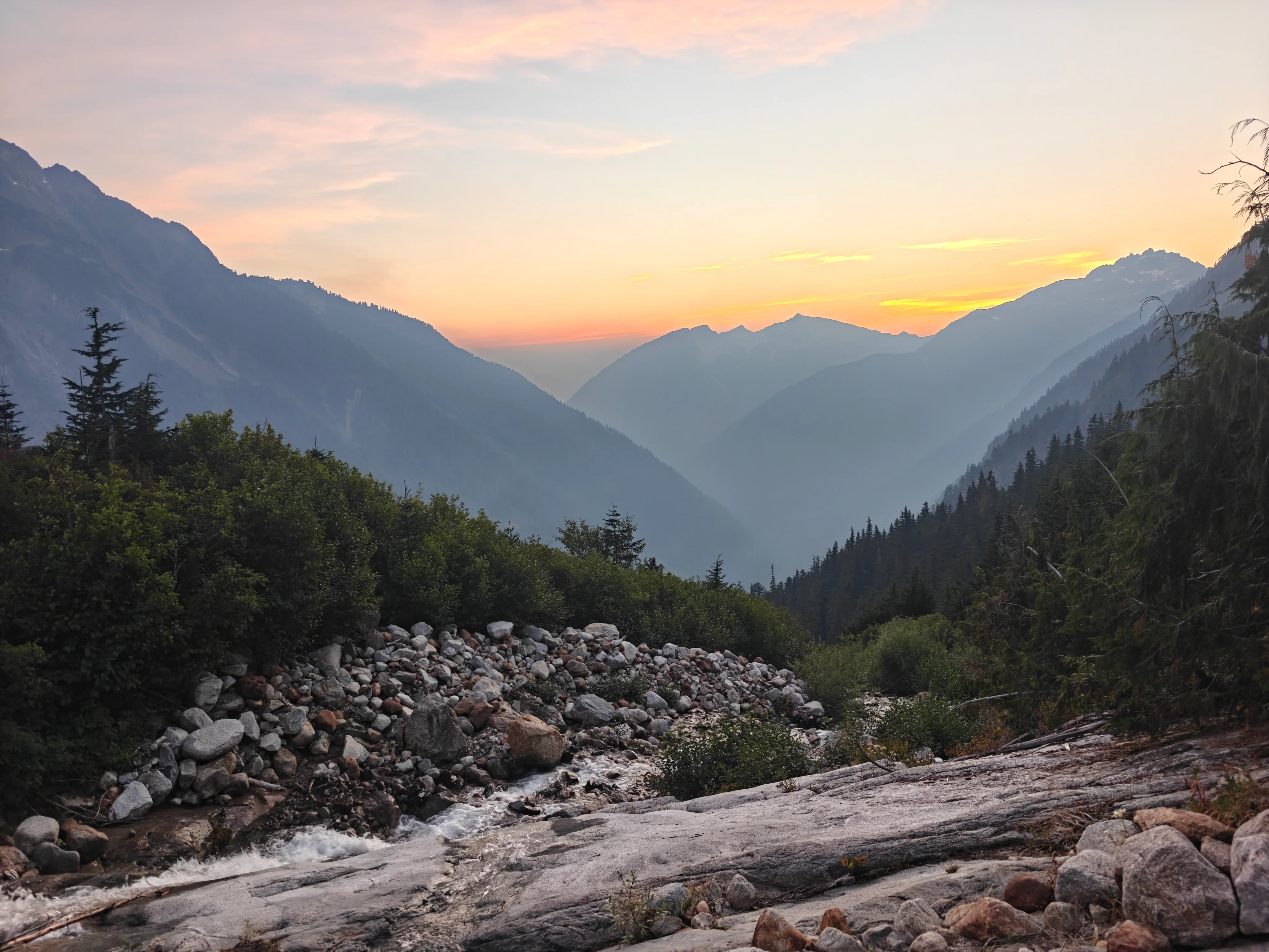
Walking from the Boston Basin high camp back to the forest was absolutely magical. I was kind of freaking out about how pretty it was. We talked about how nice it would be to just spend the night.
And then we ran into a bear!
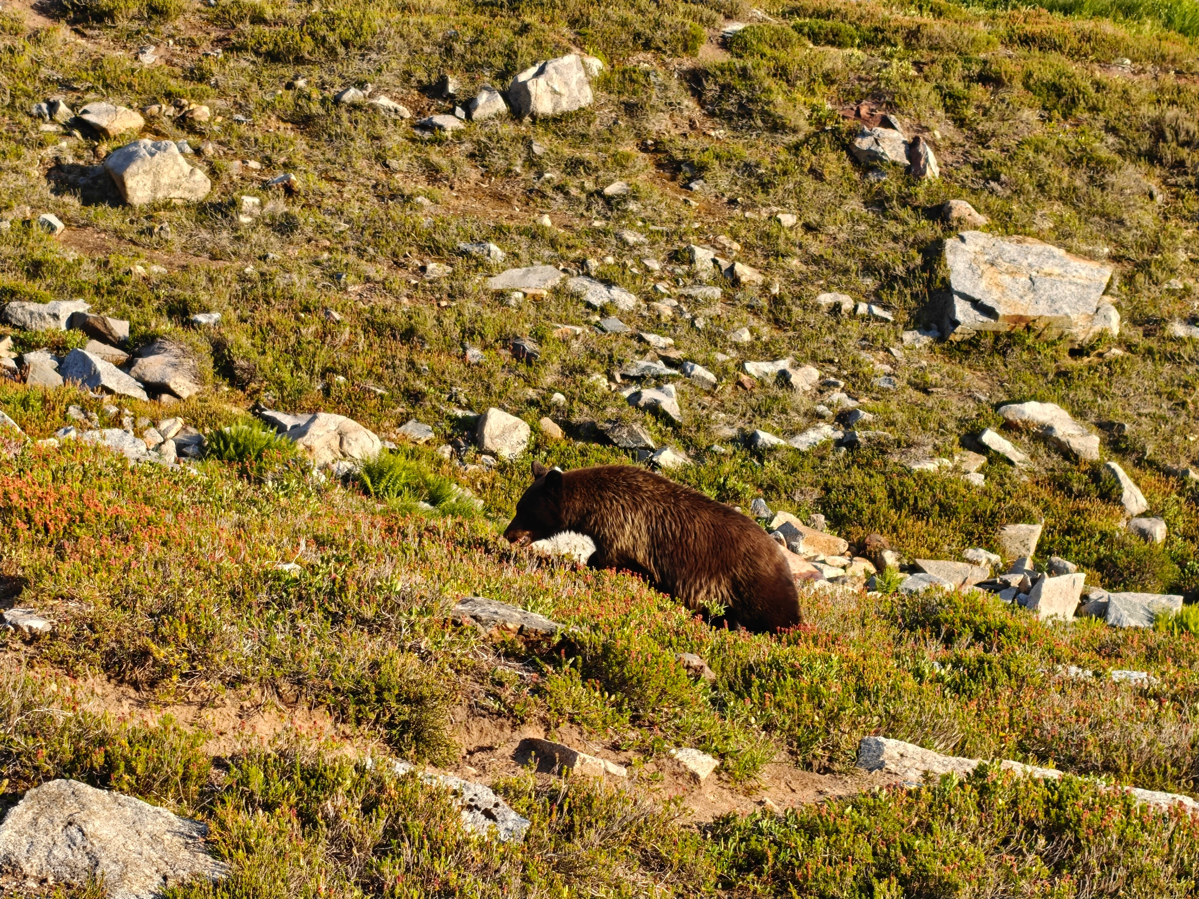
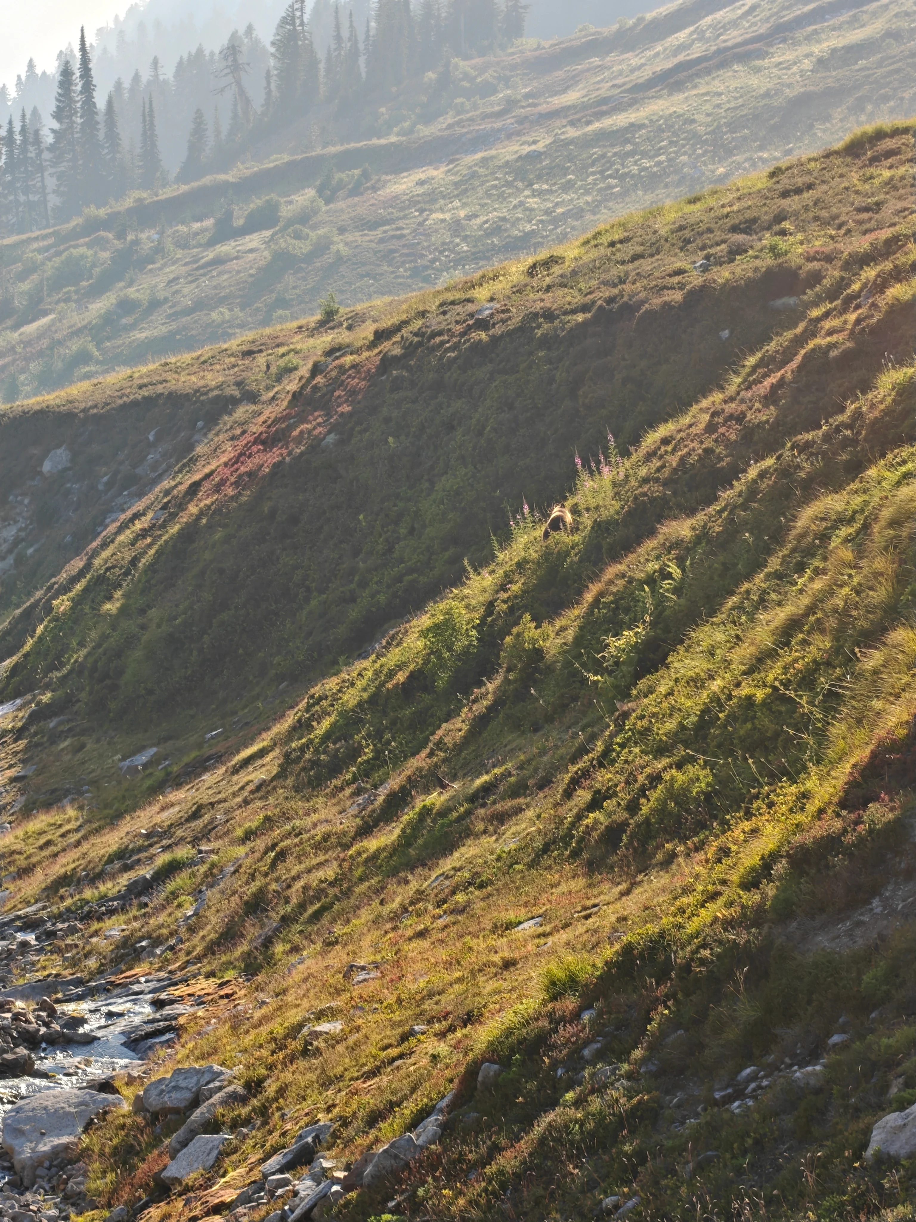
So cool. They’re so cute. So deadly. Thankfully, very focused on eating berries.
Back into the forest for the trail tax
The descent back down through the forest was really nice at first. Once it got dark, the trail seemed to drag on and we were getting tired.
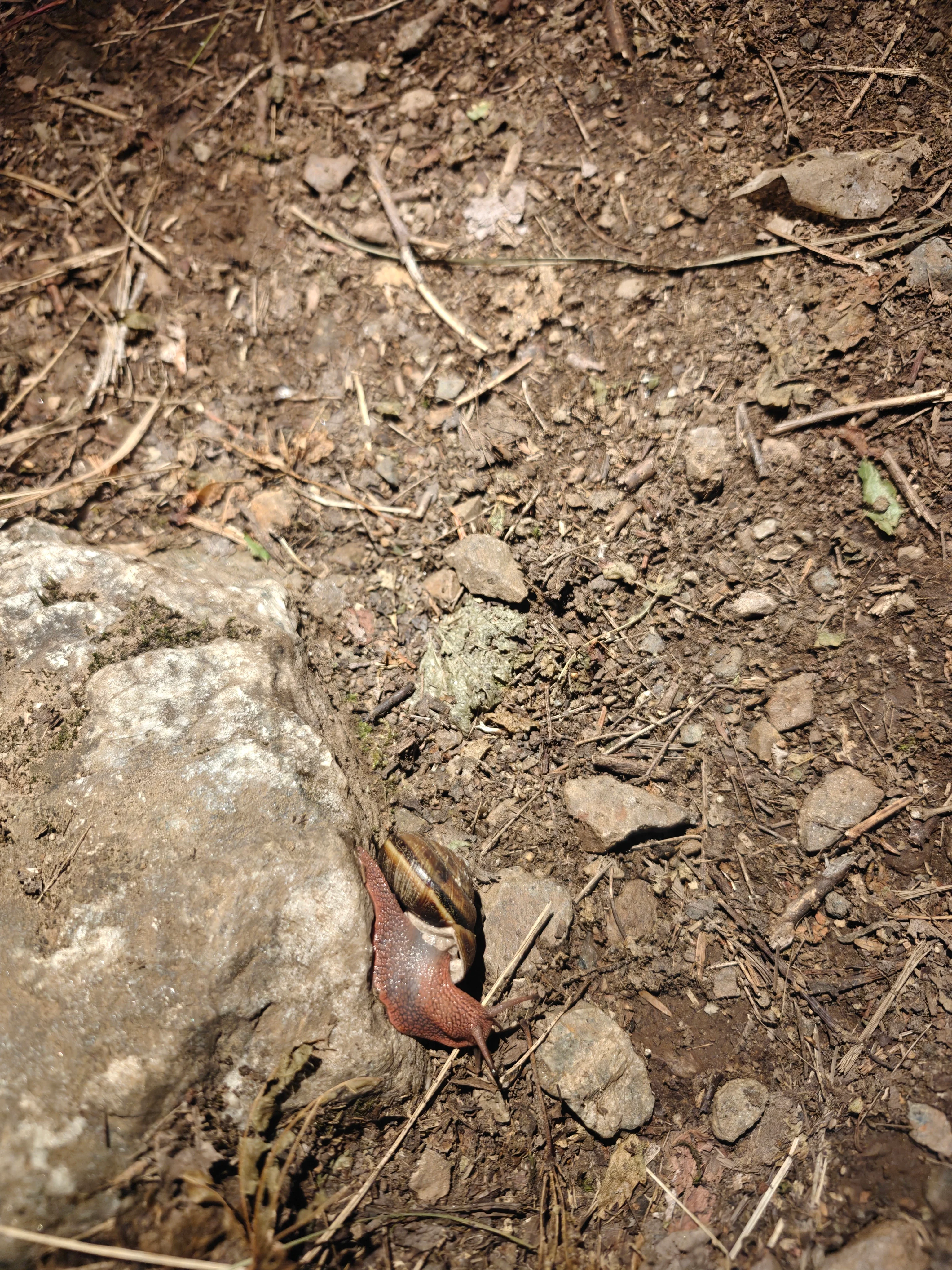
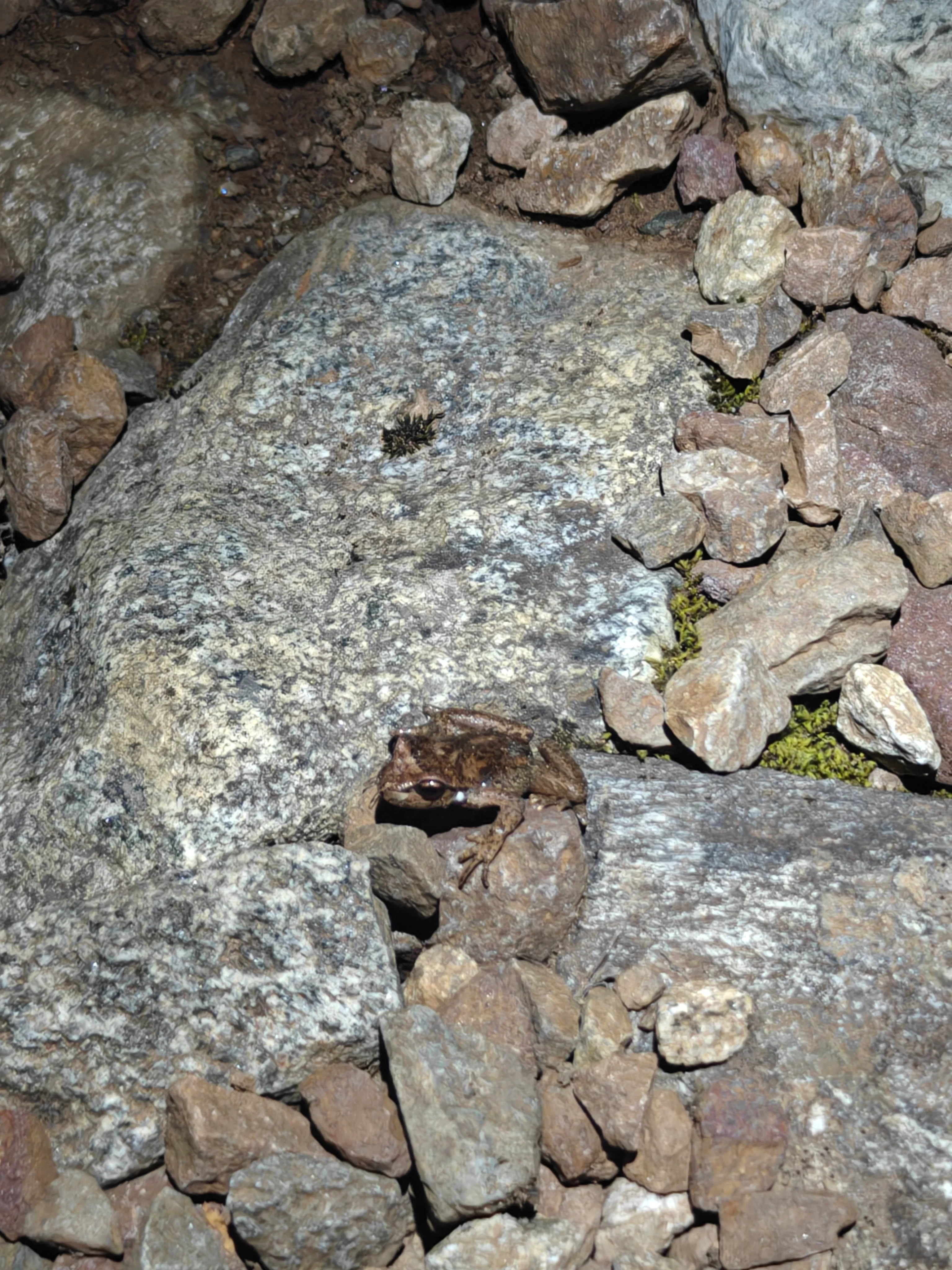
We came across some surprising wildlife, though! So that was fun.
The real tax
Sometimes you learn a new way to epic. And after a stellar, smooth day, we thought we were in the clear.
When we’d gotten to the summit and run into those other parties, they’d told us that the Cascade River Bridge was going to be closed from 8pm to 4am that night. We knew we weren’t going to make it there by 8pm so that was problematic.
We were in disbelief about this because how can you close a bridge where there is no other way across and is where many full day mountain adventures happen on a daily basis?
Matt was able to get an inReach text out to his wife, Elsa, and she told us that there was another road that we could take to get to a different bridge to get across. Perfect! So we descended thinking our adventure tax would simply be a long dirt road.
Welp, turns out that road got washed out last December along with the rest of Washington.
So we came to the very sad realization that we would be sleeping three very tired, very sweaty dudes in Matt’s Subaru until 4am. We feel a little wronged by Skagit County for not putting a sign up when we crossed that morning (we swear there was no sign telling us the bridge would be closed). But, oh well.
The end